
| Memorials | : | 0 |
| Location | : | Ava, Douglas County, USA |
| Coordinate | : | 36.8478012, -92.1271973 |
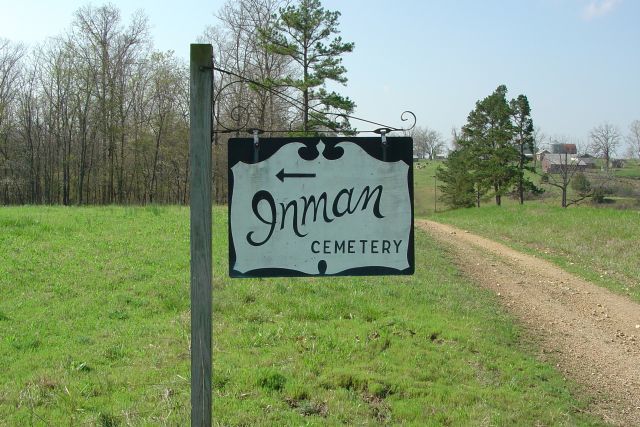
| Description | : | From West Plains, MO. take Hwy 63 North 7 miles, turn west on Hwy 14 to Ava, MO. Go 15 miles to Twin Bridges Community. Turn north on 181 and go for 1.2 miles then turn right at the Inman Cemetery Sign and their is also a Dale White Dairy sign there also. Follow this gravel road thru the yard and around across a cattle guard and on to the cemetery. It sets on a hill up behind the barn. |
frequently asked questions (FAQ):
-
Where is Inman Cemetery?
Inman Cemetery is located at Ava, Douglas County ,Missouri ,USA.
-
Inman Cemetery cemetery's updated grave count on graveviews.com?
0 memorials
-
Where are the coordinates of the Inman Cemetery?
Latitude: 36.8478012
Longitude: -92.1271973

Nearby Cemetories:
1. Thornton-Roosevelt Cemetery
Roosevelt, Douglas County, USA
Coordinate: 36.8325005, -92.1216965
2. Campbell Cemetery
Douglas County, USA
Coordinate: 36.8408300, -92.1694400
3. Fish Cemetery
Douglas County, USA
Coordinate: 36.8142014, -92.1436005
4. Little Zion Cemetery
Richville, Douglas County, USA
Coordinate: 36.8626800, -92.1693200
5. Horton Cemetery
Howell County, USA
Coordinate: 36.8678017, -92.0867004
6. Cudworth Cemetery
Douglas County, USA
Coordinate: 36.8142014, -92.1532974
7. Pease Family Cemetery
Richville, Douglas County, USA
Coordinate: 36.8772860, -92.1731040
8. Carroll Cemetery
Howell County, USA
Coordinate: 36.9039001, -92.0877991
9. Siloam Springs Cemetery
Siloam Springs, Howell County, USA
Coordinate: 36.7867100, -92.0876400
10. Siloam Springs Cemetery
Gentryville, Douglas County, USA
Coordinate: 36.7867012, -92.0875015
11. Oak Grove Cemetery
West Plains, Howell County, USA
Coordinate: 36.8633838, -92.0262578
12. Buff Cemetery
West Plains, Howell County, USA
Coordinate: 36.8633003, -92.0261002
13. Mitts Cemetery
Howell County, USA
Coordinate: 36.7633018, -92.1066971
14. Pleasant Mound Cemetery
Douglas County, USA
Coordinate: 36.8525009, -92.2367020
15. Holmes Flatrock Cemetery
Douglas County, USA
Coordinate: 36.9354950, -92.1201040
16. County Line Cemetery
Ozark County, USA
Coordinate: 36.7825012, -92.2033005
17. Sweeton Pond Cemetery
Dora, Ozark County, USA
Coordinate: 36.7896996, -92.2217026
18. Dora Cemetery
Ozark County, USA
Coordinate: 36.7782700, -92.2209800
19. Collins Cemetery
Siloam Springs, Howell County, USA
Coordinate: 36.7858009, -92.0139008
20. Dry Creek Cemetery
Pomona, Howell County, USA
Coordinate: 36.8776800, -91.9886100
21. Saint Nicholes Catholic Cemetery
Douglas County, USA
Coordinate: 36.8368700, -92.2743900
22. Union Grove General Baptist Cemetery
West Plains, Howell County, USA
Coordinate: 36.7403380, -92.0601540
23. Hale Cemetery
Dora, Ozark County, USA
Coordinate: 36.7799988, -92.2536011
24. Ledbetter Cemetery
Pottersville, Howell County, USA
Coordinate: 36.7256012, -92.0753021