
| Memorials | : | 0 |
| Location | : | West Plains, Howell County, USA |
| Coordinate | : | 36.8633003, -92.0261002 |
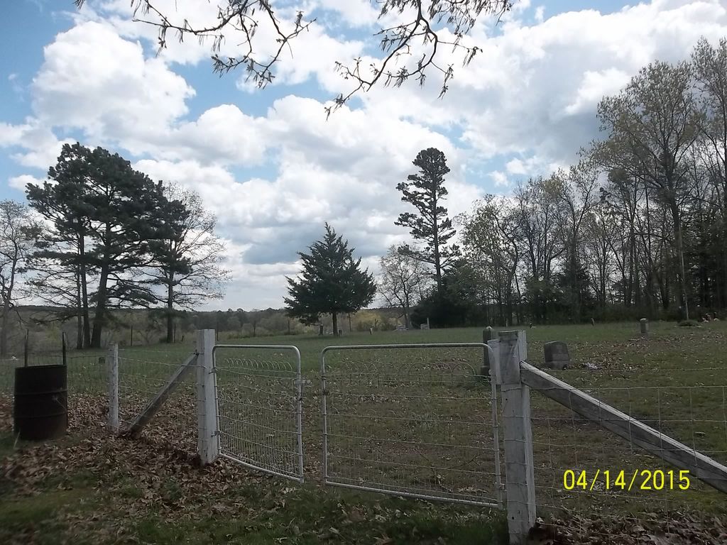
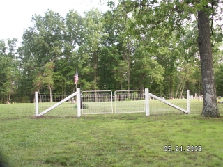
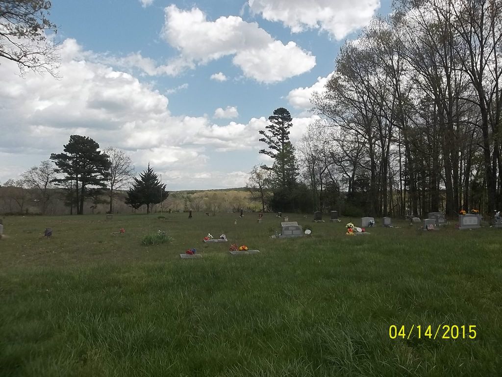
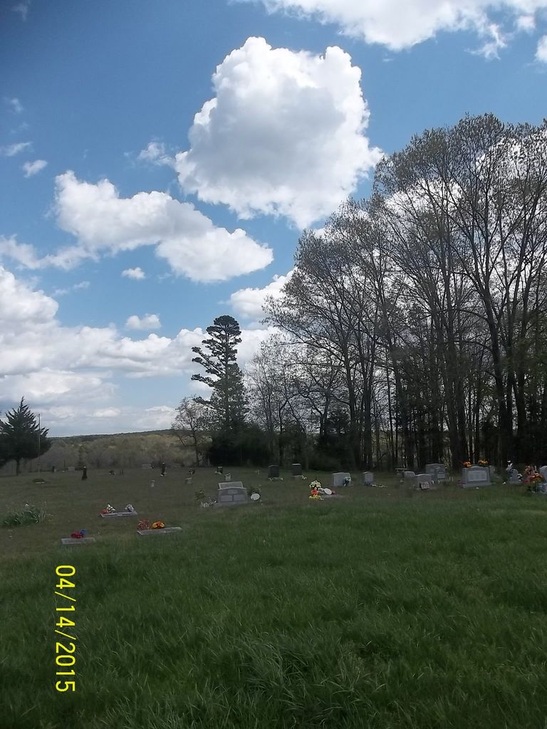
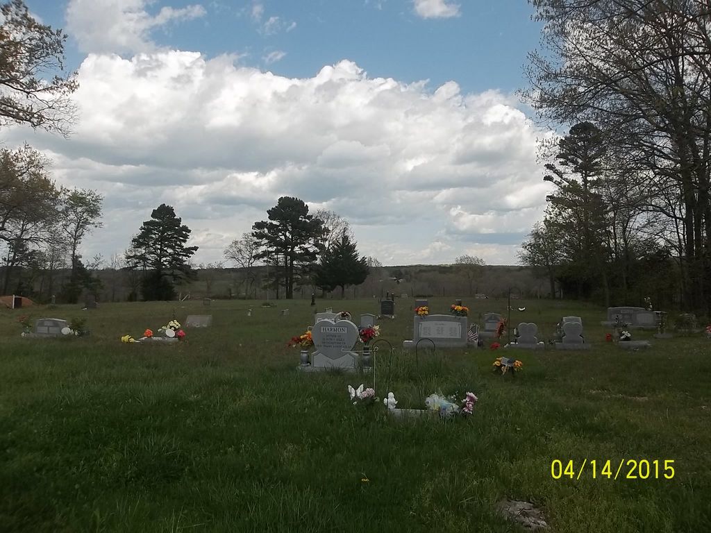
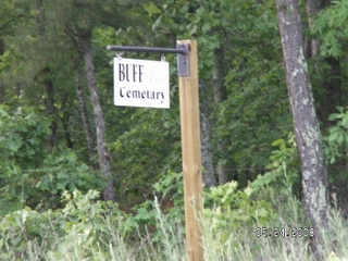
| Description | : | Buff Cemetery is located off of P Highway, which is west of 63 Highway at Pomona. It is located on a well kept lane that goes between two houses, beside a barn and a garden, down a holler, and up to a beautiful opening on a hilltop. It is fenced in completely. It is located on Section 10, T.25N-R.10W. Over Memorial Day weekend it was all mowed and just beautiful. |
frequently asked questions (FAQ):
-
Where is Buff Cemetery?
Buff Cemetery is located at West Plains, Howell County ,Missouri ,USA.
-
Buff Cemetery cemetery's updated grave count on graveviews.com?
0 memorials
-
Where are the coordinates of the Buff Cemetery?
Latitude: 36.8633003
Longitude: -92.0261002
Nearby Cemetories:
1. Oak Grove Cemetery
West Plains, Howell County, USA
Coordinate: 36.8633838, -92.0262578
2. Dry Creek Cemetery
Pomona, Howell County, USA
Coordinate: 36.8776800, -91.9886100
3. Horton Cemetery
Howell County, USA
Coordinate: 36.8678017, -92.0867004
4. Carroll Cemetery
Howell County, USA
Coordinate: 36.9039001, -92.0877991
5. Mount Zion Cemetery
Dry Creek Township, Howell County, USA
Coordinate: 36.8299200, -91.9486000
6. Collins Cemetery
Siloam Springs, Howell County, USA
Coordinate: 36.7858009, -92.0139008
7. Inman Cemetery
Ava, Douglas County, USA
Coordinate: 36.8478012, -92.1271973
8. Thornton-Roosevelt Cemetery
Roosevelt, Douglas County, USA
Coordinate: 36.8325005, -92.1216965
9. Burnham Cemetery
Burnham, Howell County, USA
Coordinate: 36.9207993, -91.9496994
10. Howell Memorial Park Cemetery
Pomona, Howell County, USA
Coordinate: 36.8460007, -91.9181976
11. Siloam Springs Cemetery
Gentryville, Douglas County, USA
Coordinate: 36.7867012, -92.0875015
12. Siloam Springs Cemetery
Siloam Springs, Howell County, USA
Coordinate: 36.7867100, -92.0876400
13. New Liberty Baptist Cemetery
Grimmet, Howell County, USA
Coordinate: 36.7775002, -91.9869003
14. Epps Cemetery
Pomona, Howell County, USA
Coordinate: 36.9057999, -91.9203033
15. Holmes Flatrock Cemetery
Douglas County, USA
Coordinate: 36.9354950, -92.1201040
16. Fish Cemetery
Douglas County, USA
Coordinate: 36.8142014, -92.1436005
17. Cudworth Cemetery
Douglas County, USA
Coordinate: 36.8142014, -92.1532974
18. Little Zion Cemetery
Richville, Douglas County, USA
Coordinate: 36.8626800, -92.1693200
19. Campbell Cemetery
Douglas County, USA
Coordinate: 36.8408300, -92.1694400
20. Pease Family Cemetery
Richville, Douglas County, USA
Coordinate: 36.8772860, -92.1731040
21. Mitts Cemetery
Howell County, USA
Coordinate: 36.7633018, -92.1066971
22. Sadie Brown Cemetery
West Plains, Howell County, USA
Coordinate: 36.7967186, -91.8965530
23. Union Grove General Baptist Cemetery
West Plains, Howell County, USA
Coordinate: 36.7403380, -92.0601540
24. Lone Pine Cemetery
West Plains, Howell County, USA
Coordinate: 36.7813988, -91.9057999