
| Memorials | : | 3 |
| Location | : | Stephenson County, USA |
| Coordinate | : | 42.3797226, -89.4069443 |
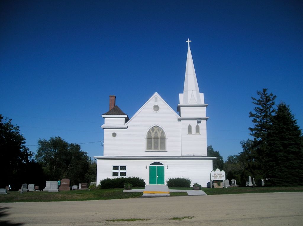
| Description | : | The earliest marked burials are 1845. There are many unmarked graves. Father Remigius Petiot of Galena offered the first Mass at Irish Grove in 1841, at the home of Michael Walsh. Later the parish was attended by priests from New Dublin and Freeport. There are apparently no burial records from this time period. Beginning in 1872, it was transferred to St. Mary Church in Pecatonica. Therefore, burial records from 1872 - 1924 might be found at St. Mary Church in Pecatonica. Records from 1925 on may be available at St. Mary Church in Durand. |
frequently asked questions (FAQ):
-
Where is Irish Grove Catholic Cemetery?
Irish Grove Catholic Cemetery is located at Stephenson County ,Illinois ,USA.
-
Irish Grove Catholic Cemetery cemetery's updated grave count on graveviews.com?
3 memorials
-
Where are the coordinates of the Irish Grove Catholic Cemetery?
Latitude: 42.3797226
Longitude: -89.4069443


Nearby Cemetories:
1. Davis Cemetery
Davis, Stephenson County, USA
Coordinate: 42.4255790, -89.4091840
2. Rock City Cemetery
Rock City, Stephenson County, USA
Coordinate: 42.4025002, -89.4728012
3. Saint Pauls Epleyanna Cemetery
Davis, Stephenson County, USA
Coordinate: 42.4300000, -89.4420000
4. Brubaker Cemetery
Rock Run Township, Stephenson County, USA
Coordinate: 42.3526306, -89.4791183
5. Pioneers Cemetery
Rock Run Township, Stephenson County, USA
Coordinate: 42.4014015, -89.4953003
6. Bethlehem Cemetery
Stephenson County, USA
Coordinate: 42.4481010, -89.4574966
7. Wagner Cemetery
Ridott, Stephenson County, USA
Coordinate: 42.2971992, -89.4257965
8. Felts Cemetery
Stephenson County, USA
Coordinate: 42.4692001, -89.4308014
9. Dakota Cemetery
Dakota, Stephenson County, USA
Coordinate: 42.3899994, -89.5338974
10. Lancaster Cemetery
Dakota, Stephenson County, USA
Coordinate: 42.3600006, -89.5342026
11. Ridott Township Cemetery
Ridott, Stephenson County, USA
Coordinate: 42.2946120, -89.4808530
12. Freeport Mennonite Church Cemetery
Freeport, Stephenson County, USA
Coordinate: 42.3601600, -89.5450400
13. Ridott Center Cemetery
Ridott, Stephenson County, USA
Coordinate: 42.2764015, -89.4657974
14. Silver Spring Cemetery
Stephenson County, USA
Coordinate: 42.3306007, -89.5532990
15. State Line Cemetery
Rock Grove, Stephenson County, USA
Coordinate: 42.5001370, -89.4071250
16. Frankeburger Cemetery
Rock Grove, Stephenson County, USA
Coordinate: 42.4892006, -89.4925003
17. Rock Grove Cemetery
Rock Grove, Stephenson County, USA
Coordinate: 42.4688988, -89.5294037
18. State Road Cemetery
Stephenson County, USA
Coordinate: 42.2764015, -89.5130997
19. Gund Cemetery
Freeport, Stephenson County, USA
Coordinate: 42.2797012, -89.5194016
20. Afolkey Cemetery
Afolkey, Stephenson County, USA
Coordinate: 42.4289017, -89.5759506
21. Christian Reformed Church Cemetery
German Valley, Stephenson County, USA
Coordinate: 42.2319489, -89.4541168
22. Oakley Union Cemetery
Oakley, Green County, USA
Coordinate: 42.5238790, -89.4783110
23. Forest Zimmerman Farm Cemetery
Spring Grove, Green County, USA
Coordinate: 42.5308200, -89.4470200
24. Mount Hope Cemetery
Brodhead, Green County, USA
Coordinate: 42.5342900, -89.3954400