
| Memorials | : | 4 |
| Location | : | Iron Ridge, Dodge County, USA |
| Coordinate | : | 43.4166450, -88.5434530 |
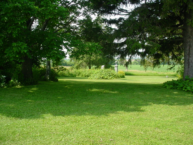
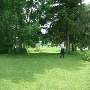
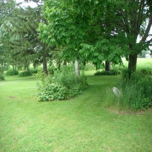
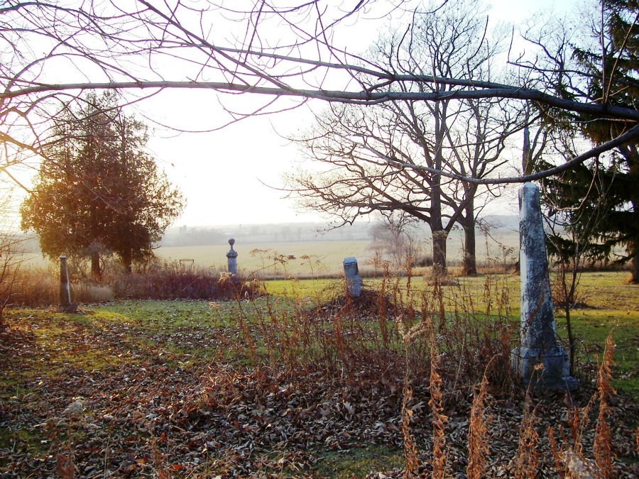
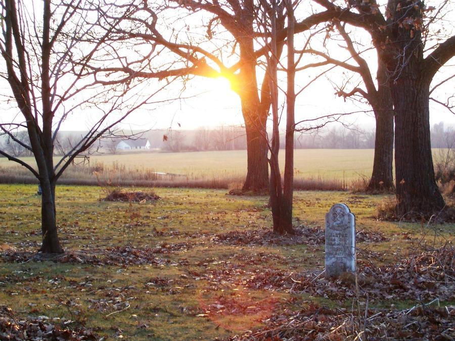
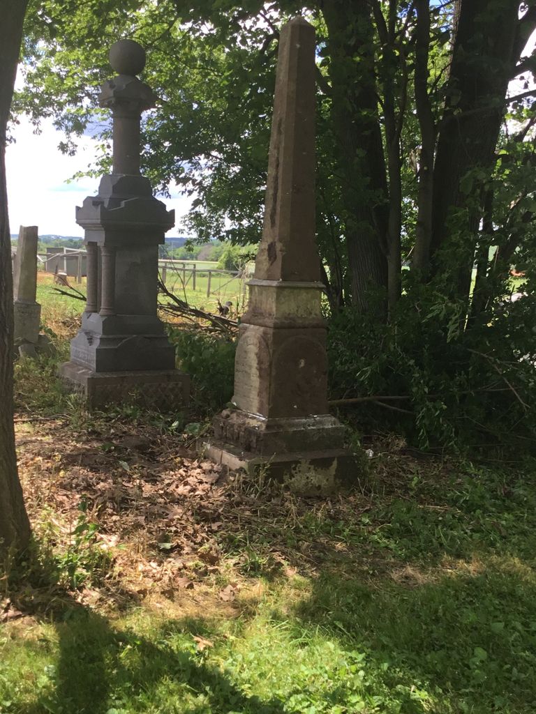
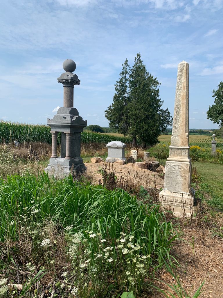
| Description | : | This cemetery is just off of Hwy 67, North of Hwy S in the South East quarter of section 14 in Hubbard Township. Approximate Latitude of 43.41 N by 88.52 West. The cemetery is supposedly being restored according to a document I found at the Register of Deeds office in June 2009, but I found it to be overgrown with many headstones in the middle of clumps of brush. |
frequently asked questions (FAQ):
-
Where is Iron Ridge Cemetery?
Iron Ridge Cemetery is located at Iron Ridge, Dodge County ,Wisconsin ,USA.
-
Iron Ridge Cemetery cemetery's updated grave count on graveviews.com?
2 memorials
-
Where are the coordinates of the Iron Ridge Cemetery?
Latitude: 43.4166450
Longitude: -88.5434530
Nearby Cemetories:
1. Saint Matthews Evangelical Lutheran Cemetery
Iron Ridge, Dodge County, USA
Coordinate: 43.3959885, -88.5283813
2. Mace Methodist Cemetery
Mayville, Dodge County, USA
Coordinate: 43.4425000, -88.5553800
3. Rex Cemetery
Iron Ridge, Dodge County, USA
Coordinate: 43.4006996, -88.5841980
4. Methodist Cemetery
Iron Ridge, Dodge County, USA
Coordinate: 43.4135120, -88.4950880
5. Saint John's Lutheran Cemetery
Horicon, Dodge County, USA
Coordinate: 43.4499830, -88.5621210
6. Saint Michaels Cemetery
Iron Ridge, Dodge County, USA
Coordinate: 43.3807983, -88.5607986
7. Zum Kripplein Christi Lutheran Church Cemetery
Iron Ridge, Dodge County, USA
Coordinate: 43.4289960, -88.4897550
8. Saint Marys Catholic Cemetery
Woodland, Dodge County, USA
Coordinate: 43.3775000, -88.5214000
9. Cole Cemetery
Iron Ridge, Dodge County, USA
Coordinate: 43.3853989, -88.5006485
10. Saint Johns Cemetery
Iron Ridge, Dodge County, USA
Coordinate: 43.3711014, -88.5531006
11. Saint Johns Lutheran Cemetery
Woodland, Dodge County, USA
Coordinate: 43.3710785, -88.5325775
12. Greenbush Cemetery
Mayville, Dodge County, USA
Coordinate: 43.4644012, -88.5222015
13. Saint Johns Catholic Cemetery
Woodland, Dodge County, USA
Coordinate: 43.3778000, -88.4811020
14. Saint Marys Catholic Cemetery
Mayville, Dodge County, USA
Coordinate: 43.4809494, -88.5461731
15. Hochheim Cemetery
Theresa, Dodge County, USA
Coordinate: 43.4566110, -88.4694350
16. Family Cemetery
Rubicon, Dodge County, USA
Coordinate: 43.3533300, -88.5131300
17. Saint Malachy Cemetery
Horicon, Dodge County, USA
Coordinate: 43.4439930, -88.6333130
18. Saint Johns Cemetery
Mayville, Dodge County, USA
Coordinate: 43.4880500, -88.5473200
19. Graceland Cemetery
Mayville, Dodge County, USA
Coordinate: 43.4900818, -88.5464325
20. Oakhill Cemetery
Horicon, Dodge County, USA
Coordinate: 43.4383011, -88.6417007
21. Old Saint Marys Catholic Cemetery
Mayville, Dodge County, USA
Coordinate: 43.4935200, -88.5394100
22. Immanuel Evangelical Lutheran Cemetery
Theresa, Dodge County, USA
Coordinate: 43.4860260, -88.4956780
23. Saint Pauls Cemetery
Theresa, Dodge County, USA
Coordinate: 43.4935989, -88.5141983
24. Saint Bartholomew Cemetery
Neosho, Dodge County, USA
Coordinate: 43.3363991, -88.5188980