
| Memorials | : | 2 |
| Location | : | Horicon, Dodge County, USA |
| Coordinate | : | 43.4499830, -88.5621210 |
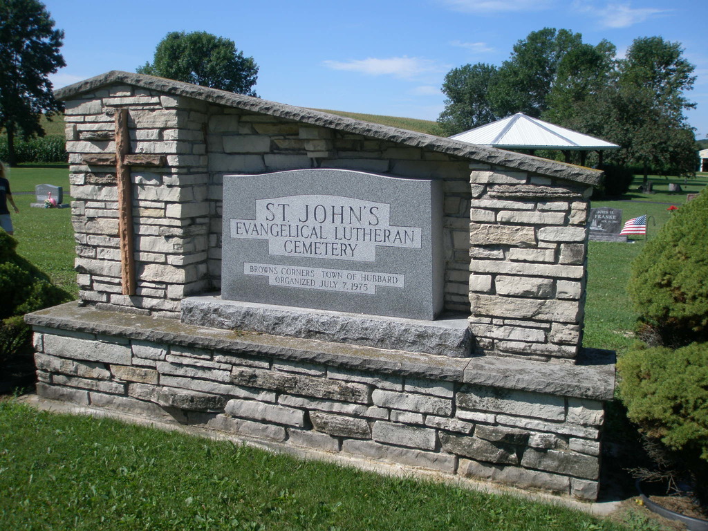
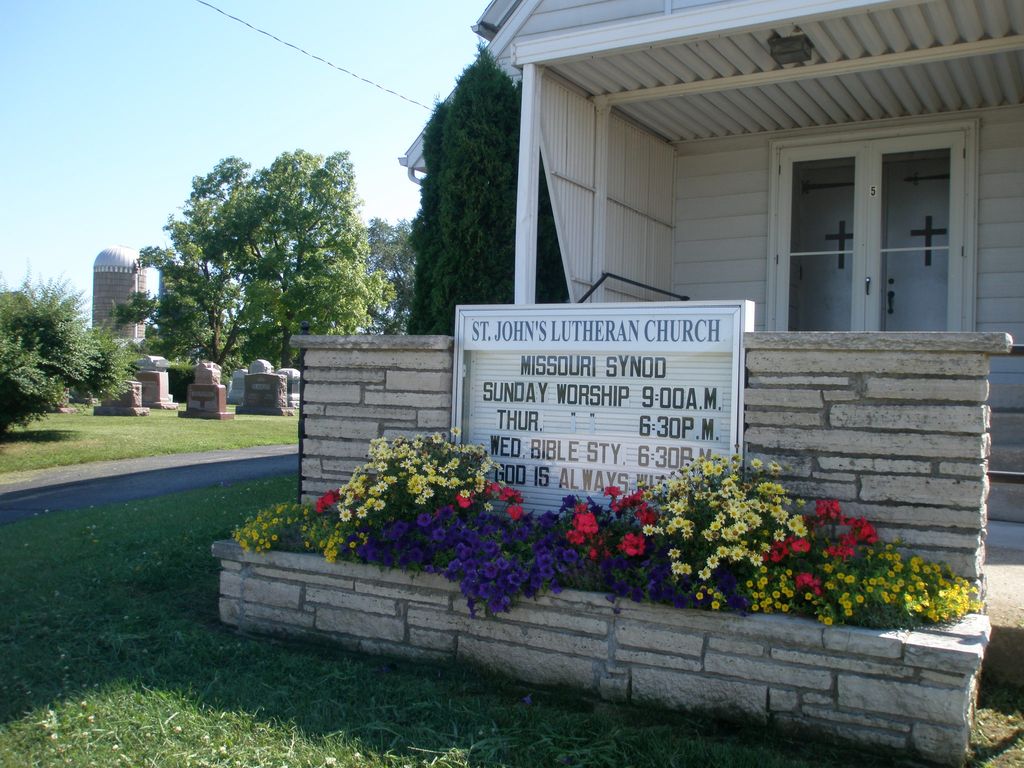
| Description | : | This cemetery is located in the Town of Hubbard on County Road V, just north of Highway 33 - near what is called Brown's Corners. There are two separate sections. The original cemetery is located on the east side of County V, next to the church. Burials have continued here into the 2000s. However, a newer section is located about 100 yards south, on the west side of County V. This section was established in 1975 and includes most of the newer burials. Most of the names in the original/old section come from a transcription prepared by H.H.... Read More |
frequently asked questions (FAQ):
-
Where is Saint John's Lutheran Cemetery?
Saint John's Lutheran Cemetery is located at County Road V, Brown's Corners Horicon, Dodge County ,Wisconsin ,USA.
-
Saint John's Lutheran Cemetery cemetery's updated grave count on graveviews.com?
2 memorials
-
Where are the coordinates of the Saint John's Lutheran Cemetery?
Latitude: 43.4499830
Longitude: -88.5621210
Nearby Cemetories:
1. Mace Methodist Cemetery
Mayville, Dodge County, USA
Coordinate: 43.4425000, -88.5553800
2. Greenbush Cemetery
Mayville, Dodge County, USA
Coordinate: 43.4644012, -88.5222015
3. Saint Marys Catholic Cemetery
Mayville, Dodge County, USA
Coordinate: 43.4809494, -88.5461731
4. Iron Ridge Cemetery
Iron Ridge, Dodge County, USA
Coordinate: 43.4166450, -88.5434530
5. Saint Johns Cemetery
Mayville, Dodge County, USA
Coordinate: 43.4880500, -88.5473200
6. Graceland Cemetery
Mayville, Dodge County, USA
Coordinate: 43.4900818, -88.5464325
7. Old Saint Marys Catholic Cemetery
Mayville, Dodge County, USA
Coordinate: 43.4935200, -88.5394100
8. Rex Cemetery
Iron Ridge, Dodge County, USA
Coordinate: 43.4006996, -88.5841980
9. Saint Malachy Cemetery
Horicon, Dodge County, USA
Coordinate: 43.4439930, -88.6333130
10. Saint Pauls Cemetery
Theresa, Dodge County, USA
Coordinate: 43.4935989, -88.5141983
11. Zum Kripplein Christi Lutheran Church Cemetery
Iron Ridge, Dodge County, USA
Coordinate: 43.4289960, -88.4897550
12. Oakhill Cemetery
Horicon, Dodge County, USA
Coordinate: 43.4383011, -88.6417007
13. Saint Matthews Evangelical Lutheran Cemetery
Iron Ridge, Dodge County, USA
Coordinate: 43.3959885, -88.5283813
14. Immanuel Evangelical Lutheran Cemetery
Theresa, Dodge County, USA
Coordinate: 43.4860260, -88.4956780
15. Methodist Cemetery
Iron Ridge, Dodge County, USA
Coordinate: 43.4135120, -88.4950880
16. Hochheim Cemetery
Theresa, Dodge County, USA
Coordinate: 43.4566110, -88.4694350
17. Saint Michaels Cemetery
Iron Ridge, Dodge County, USA
Coordinate: 43.3807983, -88.5607986
18. Wrucke Cemetery
Horicon, Dodge County, USA
Coordinate: 43.4449997, -88.6643982
19. Kekoskee Cemetery
Kekoskee, Dodge County, USA
Coordinate: 43.5263390, -88.5612850
20. Saint Marys Catholic Cemetery
Woodland, Dodge County, USA
Coordinate: 43.3775000, -88.5214000
21. Cole Cemetery
Iron Ridge, Dodge County, USA
Coordinate: 43.3853989, -88.5006485
22. Saint Johns Cemetery
Iron Ridge, Dodge County, USA
Coordinate: 43.3711014, -88.5531006
23. Zion Cemetery
Theresa, Dodge County, USA
Coordinate: 43.4716320, -88.4558310
24. Saint Johns Lutheran Cemetery
Woodland, Dodge County, USA
Coordinate: 43.3710785, -88.5325775