
| Memorials | : | 3 |
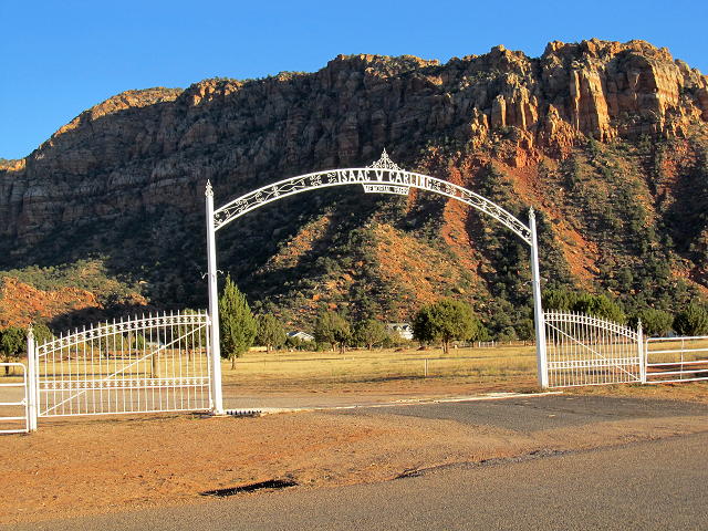
| Location | : | Colorado City, Mohave County, USA |
| Coordinate | : | 36.9903984, -112.9651031 |
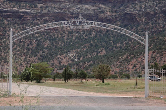
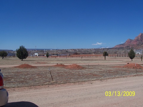
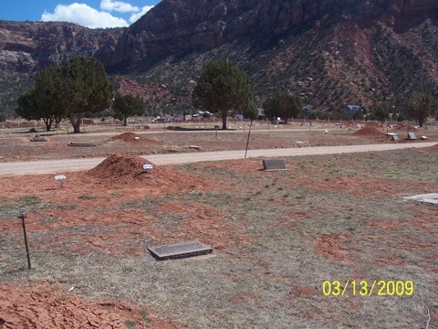
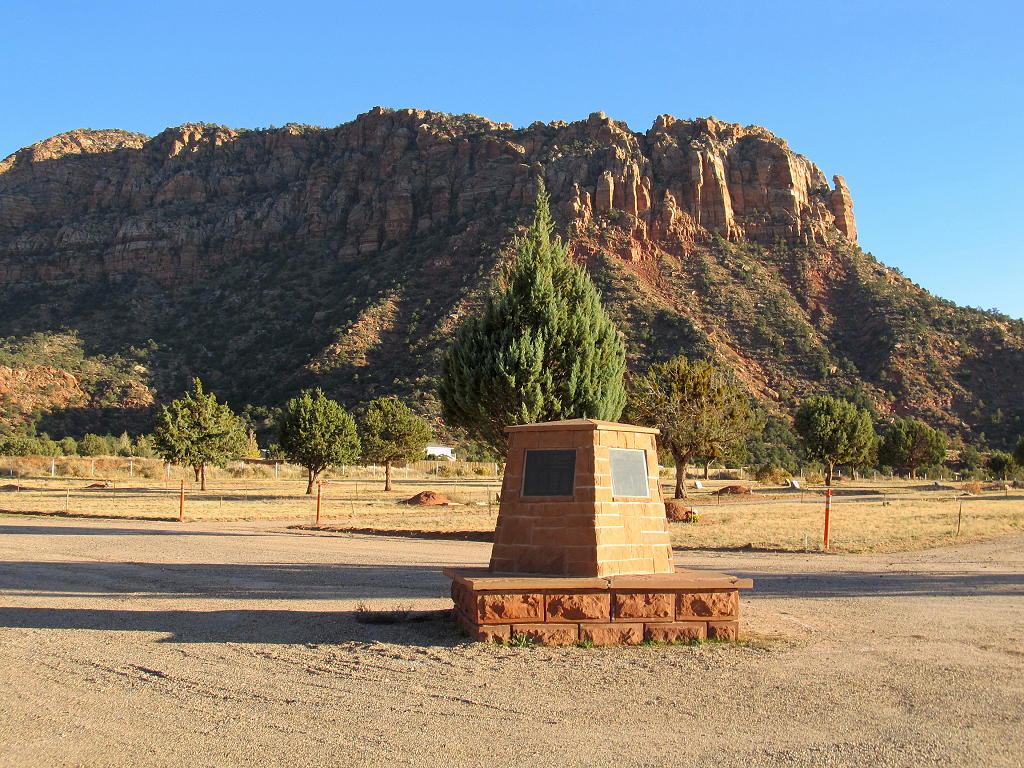
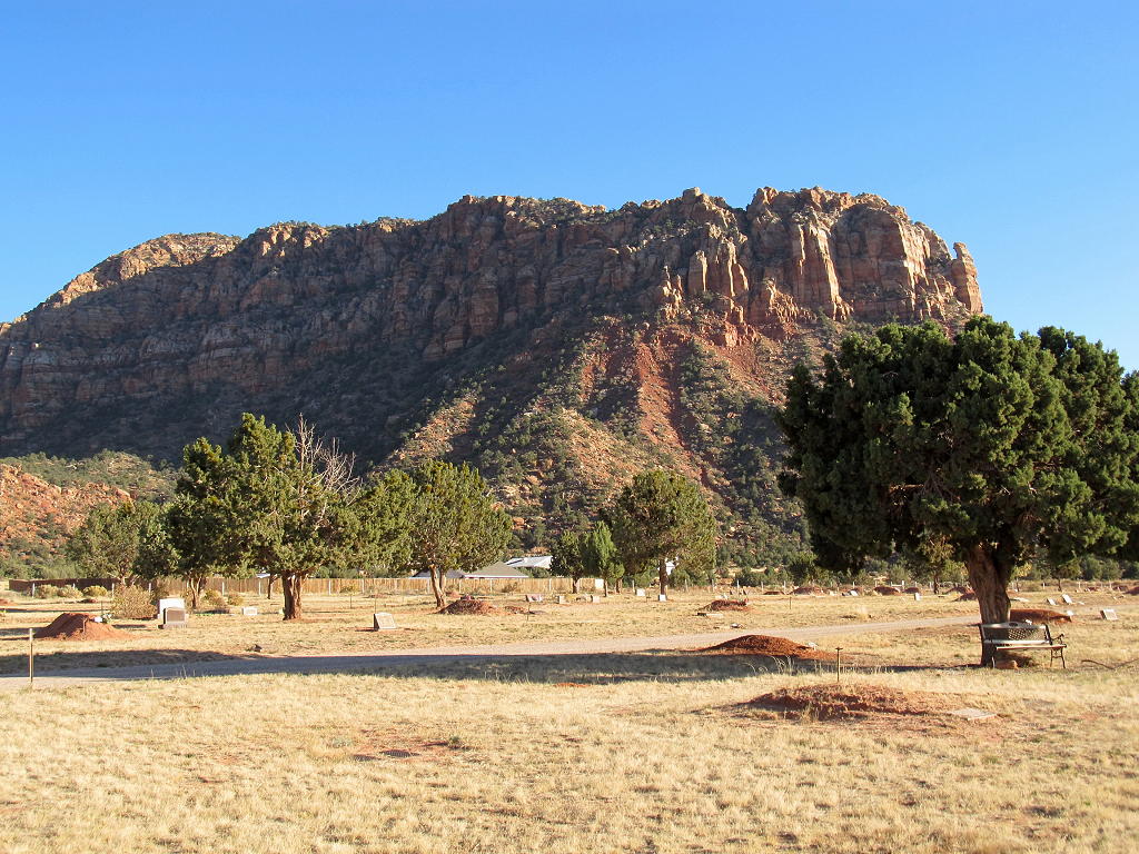
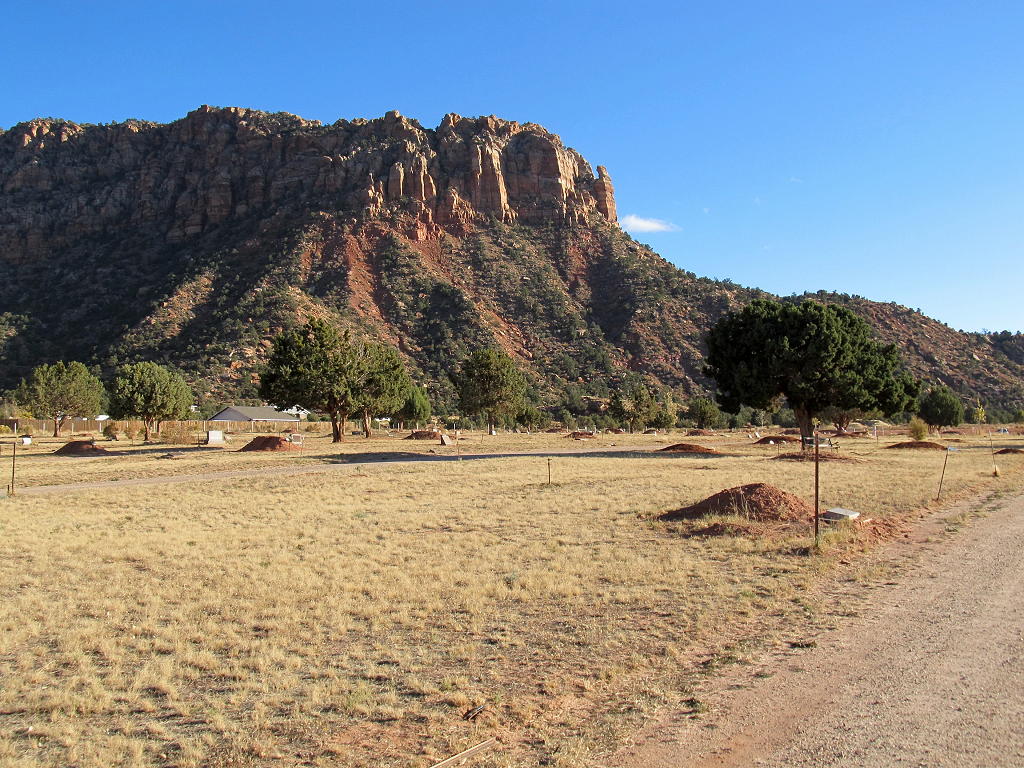
| Description | : | Near the Arizona/Utah border. Once called Short Creek community, the cemetery is now in the incorporated Colorado City, Arizona. Between 1992 and 2005, the cemetery doubled in size. |
frequently asked questions (FAQ):
-
Where is Isaac W. Carling Memorial Park?
Isaac W. Carling Memorial Park is located at Hildale Street and Township Avenue Colorado City, Mohave County ,Arizona , 86021USA.
-
Isaac W. Carling Memorial Park cemetery's updated grave count on graveviews.com?
3 memorials
-
Where are the coordinates of the Isaac W. Carling Memorial Park?
Latitude: 36.9903984
Longitude: -112.9651031
Nearby Cemetories:
1. Hammon Cemetery
Colorado City, Mohave County, USA
Coordinate: 36.9969370, -112.9789660
2. Baby Cemetery
Hildale, Washington County, USA
Coordinate: 37.0089750, -112.9678300
3. Centennial Park Cemetery
Centennial Park, Mohave County, USA
Coordinate: 36.9573600, -112.9863000
4. Cox Family Cemetery
Cane Beds, Mohave County, USA
Coordinate: 36.9525000, -112.8923000
5. Finicum Family Cemetery
Cane Beds, Mohave County, USA
Coordinate: 36.9308540, -112.8908710
6. Shunesburg Cemetery
Shunesburg, Washington County, USA
Coordinate: 37.1580000, -112.9780000
7. Rockville Cemetery
Rockville, Washington County, USA
Coordinate: 37.1618996, -113.0333023
8. Moccasin Cemetery
Moccasin, Mohave County, USA
Coordinate: 36.9103370, -112.7567840
9. Grafton Cemetery
Grafton, Washington County, USA
Coordinate: 37.1631012, -113.0800018
10. Hilltop Cemetery
Springdale, Washington County, USA
Coordinate: 37.1911000, -112.9986000
11. Jolley-Gifford Cemetery
Springdale, Washington County, USA
Coordinate: 37.1932983, -113.0010986
12. Duncans Retreat Cemetery
Virgin, Washington County, USA
Coordinate: 37.1839100, -113.1351000
13. Grant Thompson Memorial
Hurricane, Washington County, USA
Coordinate: 37.0361003, -113.3008758
14. Virgin Cemetery
Virgin, Washington County, USA
Coordinate: 37.2063970, -113.1912750
15. Hurricane City Cemetery
Hurricane, Washington County, USA
Coordinate: 37.1856003, -113.2842026
16. La Verkin Cemetery
La Verkin, Washington County, USA
Coordinate: 37.2131004, -113.2699966
17. Toquerville Cemetery
Toquerville, Washington County, USA
Coordinate: 37.2282982, -113.2814026
18. Mount Carmel Cemetery
Mount Carmel, Kane County, USA
Coordinate: 37.2475014, -112.6678009
19. Kanab Pioneer Park Cemetery
Kanab, Kane County, USA
Coordinate: 37.0550452, -112.5251345
20. Kanab City Cemetery
Kanab, Kane County, USA
Coordinate: 37.0442009, -112.5177994
21. Fredonia Cemetery
Fredonia, Coconino County, USA
Coordinate: 36.9456132, -112.5151787
22. Angels Rest Pet Cemetery
Kanab, Kane County, USA
Coordinate: 37.1489700, -112.5405900
23. Orderville Cemetery
Orderville, Kane County, USA
Coordinate: 37.2722015, -112.6367035
24. Anderson Family Cemetery
Toquerville, Washington County, USA
Coordinate: 37.2815000, -113.3020000