| Memorials | : | 27 |
| Location | : | Broome, Broome Shire, Australia |
| Coordinate | : | -17.9576200, 122.2230200 |
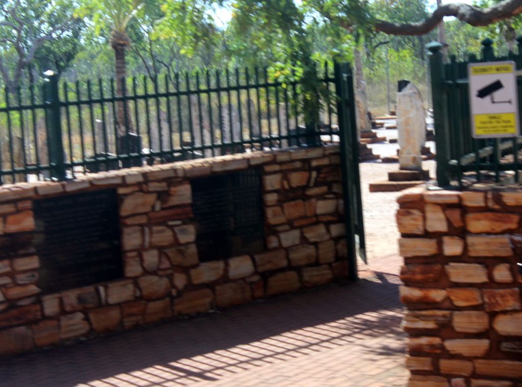
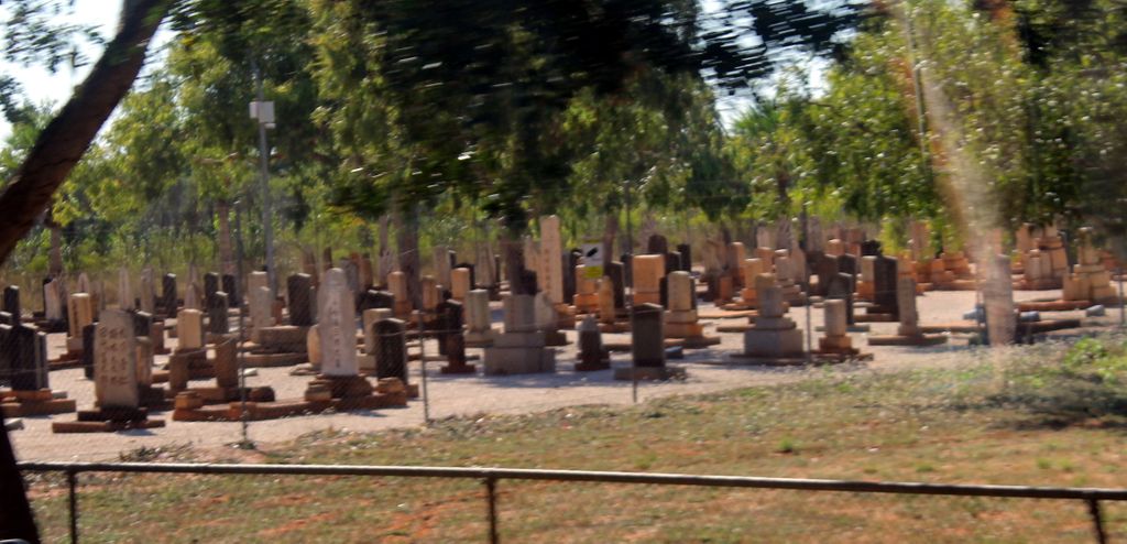
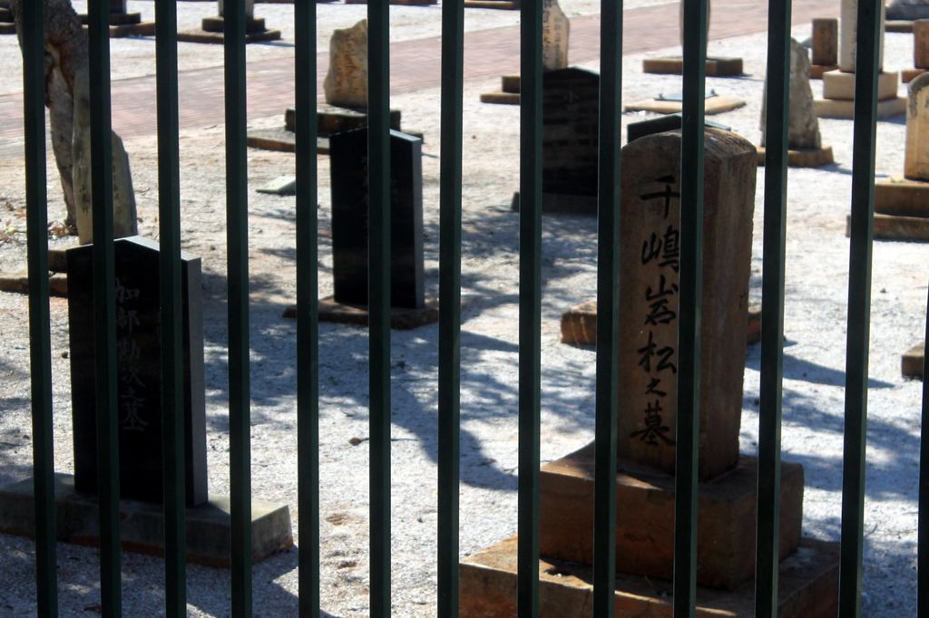
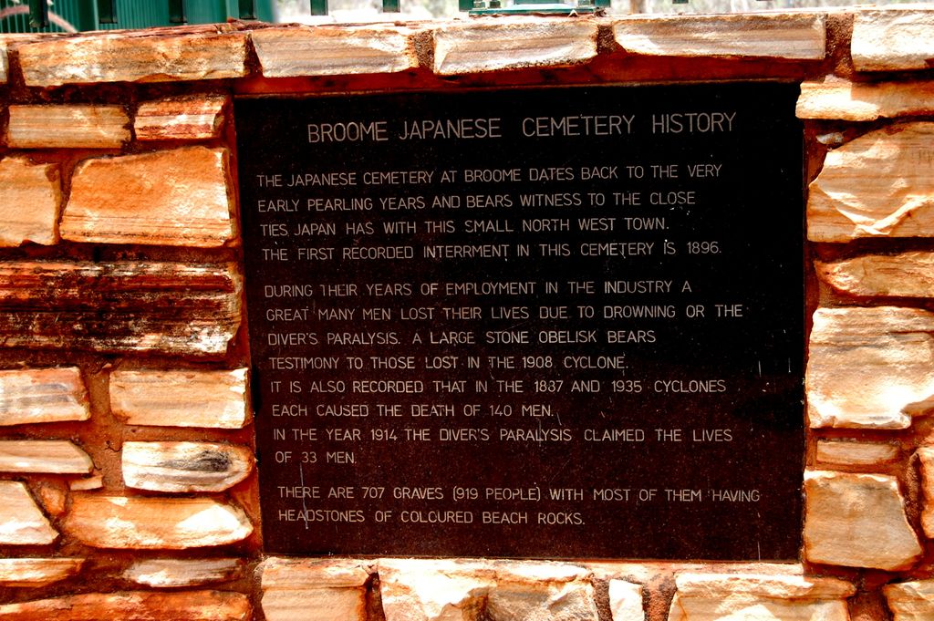
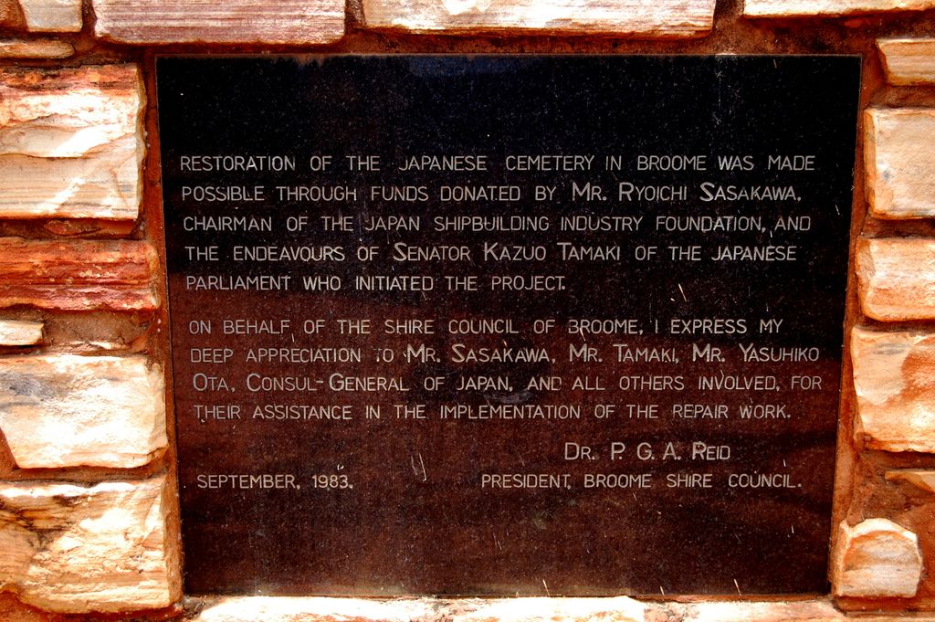
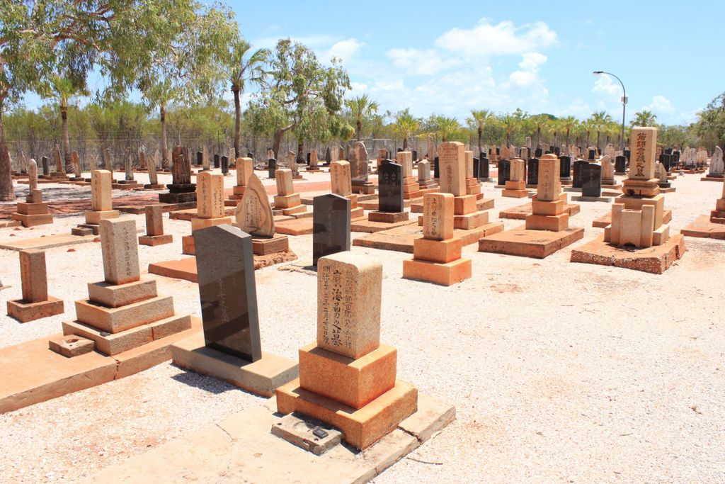
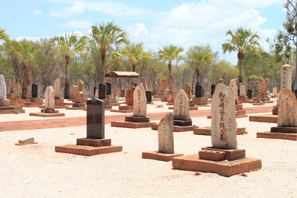
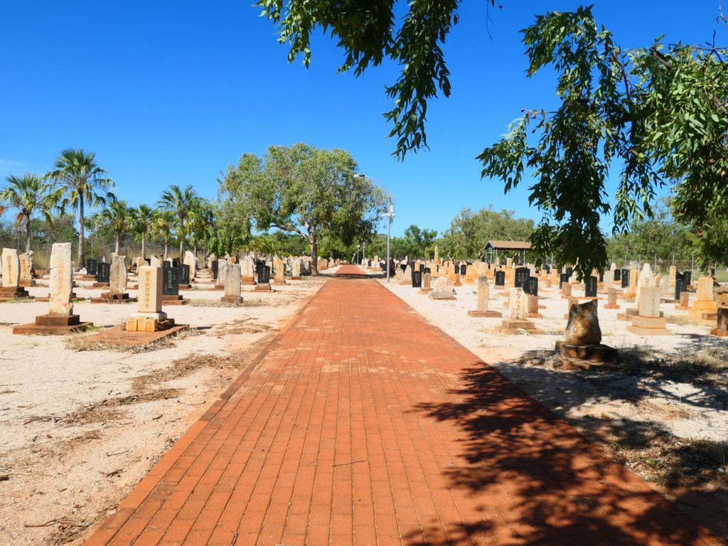
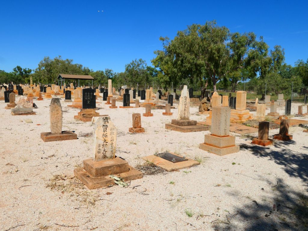
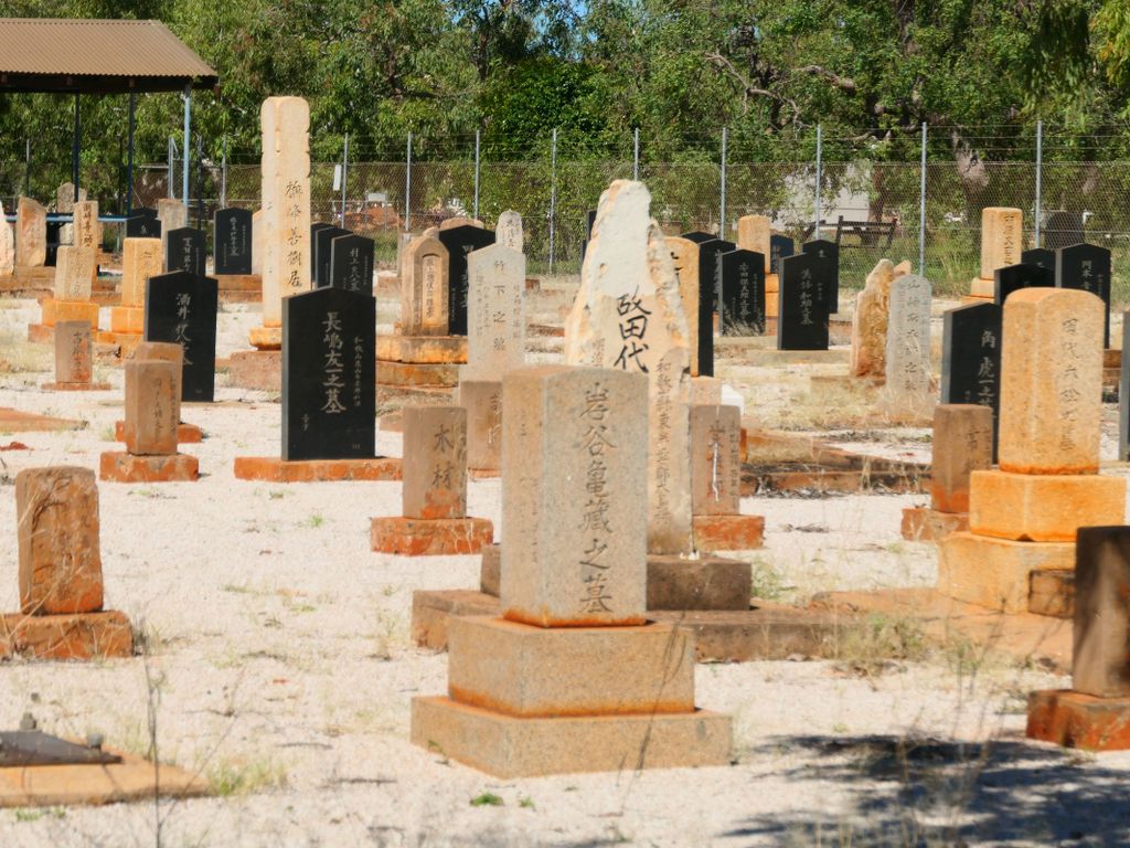
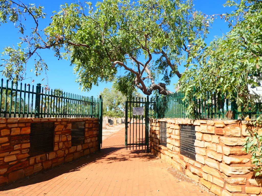
| Description | : | The Japanese cemetery is the resting place of 919 Japanese divers who lost their lives working in the industry. The first recorded burial in the cemetery dates back to 1896. A plaque at the entrance says in part, "..bears witness to the close ties Japan has with this small north west town. During their years of employment in the industry a great many men lost their lives due to drowning or the diver's paralysis. A large stone obelisk bears testimony to those lost in the 1908 cyclone. It is also recorded that in the 1887 and 1905... Read More |
frequently asked questions (FAQ):
-
Where is Japanese Cemetery?
Japanese Cemetery is located at Port Drive Broome, Broome Shire ,Western Australia ,Australia.
-
Japanese Cemetery cemetery's updated grave count on graveviews.com?
22 memorials
-
Where are the coordinates of the Japanese Cemetery?
Latitude: -17.9576200
Longitude: 122.2230200
Nearby Cemetories:
1. Broome Chinese Cemetery
Broome, Broome Shire, Australia
Coordinate: -17.9586500, 122.2225100
2. Broome Public Cemetery
Broome, Broome Shire, Australia
Coordinate: -17.9588770, 122.2249070
3. Broome Heritage Trail Old Cemetery
Broome, Broome Shire, Australia
Coordinate: -17.9699610, 122.2362790
4. Bidyadanga Community
Bidyadanga Community, Broome Shire, Australia
Coordinate: -18.6830410, 121.7836840
5. Pioneer and Aboriginal Cemetery
Derby, Derby-West Kimberley Shire, Australia
Coordinate: -17.3156290, 123.6648520
6. Derby Cemetery
Derby, Derby-West Kimberley Shire, Australia
Coordinate: -17.3191310, 123.6667620
7. Fitzroy Crossing Pioneer Cemetery
Fitzroy Crossing, Derby-West Kimberley Shire, Australia
Coordinate: -18.1929650, 125.5812050
8. Brooking Spring Station
King Leopold Ranges, Derby-West Kimberley Shire, Australia
Coordinate: -18.1096570, 125.6425740
9. Muccan Station
East Pilbara Shire, Australia
Coordinate: -20.6331000, 120.0577000
10. Coongan Cemetery
East Pilbara Shire, Australia
Coordinate: -20.6847590, 119.6602020
11. Depuch Island
Karratha, Karratha City, Australia
Coordinate: -20.6098940, 117.7219810
12. Moola Bulla Station Private Cemetery
Halls Creek Shire, Australia
Coordinate: -18.1880000, 127.4990000
13. Old Halls Creek Cemetery
Halls Creek, Halls Creek Shire, Australia
Coordinate: -18.2491000, 127.7823000
14. Mount Fisher Station
Roebourne, Karratha City, Australia
Coordinate: -20.9163000, 117.4561000
15. Pyramid Station
Roebourne, Karratha City, Australia
Coordinate: -21.0564000, 117.4434000
16. Cossack Cemetery
Cossack, Karratha City, Australia
Coordinate: -20.6737550, 117.1925610
17. Old Roebourne Cemetery
Roebourne, Karratha City, Australia
Coordinate: -20.7669000, 117.1382000
18. Burrumbar Pool Grave
East Pilbara Shire, Australia
Coordinate: -23.5799527, 121.5968080
19. Cooya Pooya Station
Roebourne, Karratha City, Australia
Coordinate: -20.9659493, 117.0719175
20. Tidepole Island
Dampier, Karratha City, Australia
Coordinate: -20.6511343, 116.7046916

