
| Memorials | : | 0 |
| Location | : | Jefferson County, USA |
| Coordinate | : | 38.2700320, -90.5022620 |
| Description | : | Jarvis Cemetery History By Dave Hallemann 26 September 1996: This cemetery is located on 513.20 acres of land owned by Thorton Jarvis in 1876 and 504.61 acres owned by Charles T. Jarvis in 1898; T41 R5 Sec 19. If anyone knows how to translate Township/Range numbers into longitude and latitude, please let me know and I'll locate this cemetery on the map. |
frequently asked questions (FAQ):
-
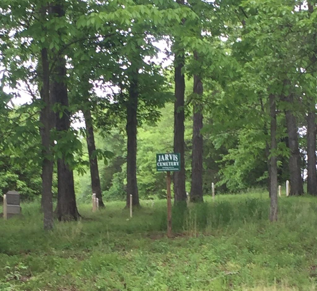
Where is Jarvis Cemetery?
Jarvis Cemetery is located at Jefferson County ,Missouri ,USA.
-
Jarvis Cemetery cemetery's updated grave count on graveviews.com?
0 memorials
-
Where are the coordinates of the Jarvis Cemetery?
Latitude: 38.2700320
Longitude: -90.5022620

Nearby Cemetories:
1. Zion Lutheran Church Cemetery
Hillsboro, Jefferson County, USA
Coordinate: 38.2681670, -90.4959220
2. Evangelical Lutheran Cross Cemetery
Hillsboro, Jefferson County, USA
Coordinate: 38.2825030, -90.4858610
3. Sandy Baptist Church Cemetery
Hillsboro, Jefferson County, USA
Coordinate: 38.2819970, -90.4852000
4. Zion United Methodist Cemetery
Mapaville, Jefferson County, USA
Coordinate: 38.2492600, -90.4813300
5. Mahler Cemetery
Jefferson County, USA
Coordinate: 38.2807999, -90.4713974
6. Johnston Cemetery
Pevely, Jefferson County, USA
Coordinate: 38.3022400, -90.5045500
7. Christian Outreach Church Cemetery
Hillsboro, Jefferson County, USA
Coordinate: 38.3016450, -90.5227920
8. Glade Chapel Cemetery
Hillsboro, Jefferson County, USA
Coordinate: 38.2952300, -90.5665500
9. Lone Pilgrim Cemetery
Hillsboro, Jefferson County, USA
Coordinate: 38.2159100, -90.5362100
10. Horine Cemetery
Horine, Jefferson County, USA
Coordinate: 38.2695770, -90.4248440
11. Hillsboro Cemetery
Hillsboro, Jefferson County, USA
Coordinate: 38.2273900, -90.5582800
12. Baker Cemetery
Jefferson County, USA
Coordinate: 38.2465400, -90.4283100
13. Good Shepherd Cemetery
Hillsboro, Jefferson County, USA
Coordinate: 38.2352982, -90.5697021
14. Isaac Stroud Baker Cemetery
Jefferson County, USA
Coordinate: 38.2463989, -90.4272003
15. Ogle Cemetery
Hematite, Jefferson County, USA
Coordinate: 38.2011111, -90.5036111
16. Hematite Christian Church Cemetery
Hematite, Jefferson County, USA
Coordinate: 38.1995500, -90.4799300
17. Peaceful Meadows
Hillsboro, Jefferson County, USA
Coordinate: 38.2629557, -90.5978627
18. Herrington Family Burial Ground
Hillsboro, Jefferson County, USA
Coordinate: 38.2911770, -90.5952680
19. Null Cemetery
Hematite, Jefferson County, USA
Coordinate: 38.1947212, -90.4852753
20. Lutheran Cemetery
Pevely, Jefferson County, USA
Coordinate: 38.2867851, -90.4063034
21. Bechler Family Cemetery
Belews Creek, Jefferson County, USA
Coordinate: 38.3304900, -90.5707100
22. Zion Lutheran Cemetery
Pevely, Jefferson County, USA
Coordinate: 38.2780991, -90.3953018
23. Herrington Cemetery
Pevely, Jefferson County, USA
Coordinate: 38.2969017, -90.3985977
24. Assumption Catholic Cemetery
Herculaneum, Jefferson County, USA
Coordinate: 38.2599983, -90.3936005