
| Memorials | : | 1 |
| Location | : | Marion County, USA |
| Coordinate | : | 36.3586006, -92.8692017 |
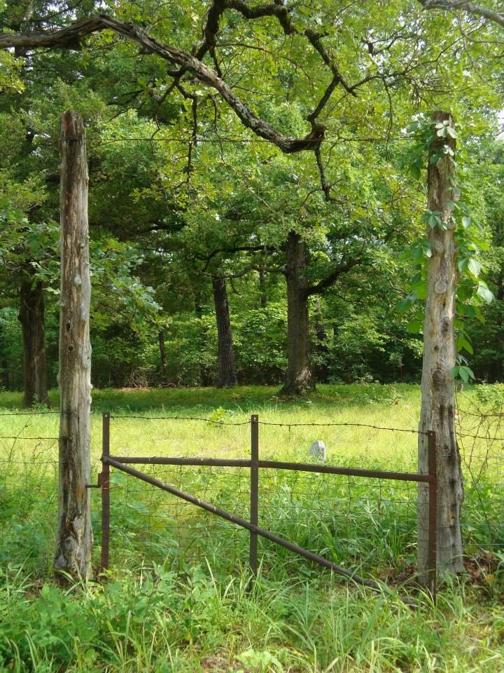
| Description | : | Jay Bird Cemetery is on County Road MC 3010, Marion County, Arkansas. It is about nine miles from Lead Hill and can be reached by turning off State Rt. 14 at Monarch. Follow County Road MC 3005 about two miles to County Road MC 3010. It is then about one mile to the cemetery at the end of the road. The road is passable, but not to be attempted in bad weather. The cemetery is fenced and tended. The remains of an old school house adjoin the cemetery. The school was still in use... Read More |
frequently asked questions (FAQ):
-
Where is Jaybird Cemetery?
Jaybird Cemetery is located at Marion County Road 3010 Marion County ,Arkansas ,USA.
-
Jaybird Cemetery cemetery's updated grave count on graveviews.com?
1 memorials
-
Where are the coordinates of the Jaybird Cemetery?
Latitude: 36.3586006
Longitude: -92.8692017
Nearby Cemetories:
1. Derryberry Cemetery
Marion County, USA
Coordinate: 36.3708000, -92.8705978
2. Enon Cemetery
Lowry, Boone County, USA
Coordinate: 36.3814550, -92.8985930
3. Keesee Cemetery
Monarch, Marion County, USA
Coordinate: 36.3746986, -92.8300018
4. Deshield Cemetery
Boone County, USA
Coordinate: 36.3492012, -92.9131012
5. Locust Cemetery
Marion County, USA
Coordinate: 36.4117012, -92.8589020
6. Milum Cemetery
Lead Hill, Boone County, USA
Coordinate: 36.4071000, -92.9098000
7. Jackson Cemetery
Lead Hill, Boone County, USA
Coordinate: 36.3685989, -92.9477997
8. Cooks Cave Cemetery
Lead Hill, Boone County, USA
Coordinate: 36.3699800, -92.9544100
9. Richardson Cemetery
Zinc, Boone County, USA
Coordinate: 36.2839012, -92.8893967
10. Cedar Grove Cemetery
Lead Hill, Boone County, USA
Coordinate: 36.4132996, -92.9360962
11. Dodd City Cemetery
Marion County, USA
Coordinate: 36.3264008, -92.7780991
12. Zinc Cemetery
Zinc, Boone County, USA
Coordinate: 36.2792390, -92.9062040
13. McCord Cemetery
Boone County, USA
Coordinate: 36.3959670, -92.9647000
14. Upshaw Cemetery
Marion County, USA
Coordinate: 36.4458008, -92.8610992
15. Willis Cemetery
Lead Hill, Boone County, USA
Coordinate: 36.3745800, -92.9847600
16. Fairview Cemetery
Diamond City, Boone County, USA
Coordinate: 36.4491997, -92.9135971
17. Norton Cemetery
Pyatt, Marion County, USA
Coordinate: 36.2589482, -92.8549353
18. Cunningham-Puryear Cemetery
Boone County, USA
Coordinate: 36.4303600, -92.9584200
19. Peel Cemetery
Marion County, USA
Coordinate: 36.4310989, -92.7711029
20. Pickard Cemetery
Marion County, USA
Coordinate: 36.4699510, -92.8842060
21. Carrollton Hollow Cemetery
Lead Hill, Boone County, USA
Coordinate: 36.4441986, -92.9638977
22. Foresee Cemetery
Olvey, Boone County, USA
Coordinate: 36.4143982, -92.9961014
23. Raley Cemetery
Lead Hill, Boone County, USA
Coordinate: 36.4550018, -92.9599991
24. White Oak Cemetery
Harrison, Boone County, USA
Coordinate: 36.2761002, -92.9878006