| Memorials | : | 0 |
| Location | : | Zinc, Boone County, USA |
| Coordinate | : | 36.2792390, -92.9062040 |
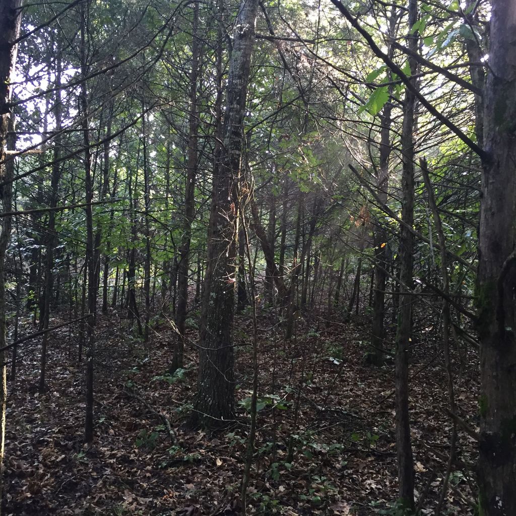
| Description | : | This cemetery is located on private property in a rural community and, you will need permission before entering it. In August 2015, the cemetery was found overgrown with timber and brushes. It was clear by a Find A Grave photographer in attempt to take requested photos of graves. The cemetery still needs more work and preservation. Every grave marker found was photographed and posted on the memorials. Many markers were just Concrete blocks with no inscriptions, and there could be more markers hidden under the inches of leaves. The cemetery can... Read More |
frequently asked questions (FAQ):
-
Where is Zinc Cemetery?
Zinc Cemetery is located at Zinc, Boone County ,Arkansas ,USA.
-
Zinc Cemetery cemetery's updated grave count on graveviews.com?
0 memorials
-
Where are the coordinates of the Zinc Cemetery?
Latitude: 36.2792390
Longitude: -92.9062040
Nearby Cemetories:
1. Richardson Cemetery
Zinc, Boone County, USA
Coordinate: 36.2839012, -92.8893967
2. Norton Cemetery
Pyatt, Marion County, USA
Coordinate: 36.2589482, -92.8549353
3. Davidson Cemetery
Olvey, Boone County, USA
Coordinate: 36.2352982, -92.9272003
4. White Oak Cemetery
Harrison, Boone County, USA
Coordinate: 36.2761002, -92.9878006
5. White Oak Family Cemetery
Bergman, Boone County, USA
Coordinate: 36.2760200, -92.9880600
6. Deshield Cemetery
Boone County, USA
Coordinate: 36.3492012, -92.9131012
7. McElhose Cemetery
Boone County, USA
Coordinate: 36.2294100, -92.9838700
8. Warner Cemetery
Olvey, Boone County, USA
Coordinate: 36.2099991, -92.9567032
9. Patton Cemetery
Pyatt, Marion County, USA
Coordinate: 36.2261009, -92.8266983
10. Brittain Cemetery
Olvey, Boone County, USA
Coordinate: 36.2150002, -92.9721985
11. Stanley Cemetery
Marion County, USA
Coordinate: 36.2036018, -92.8619003
12. Jaybird Cemetery
Marion County, USA
Coordinate: 36.3586006, -92.8692017
13. Starkey Cemetery
Bellefonte, Boone County, USA
Coordinate: 36.2324982, -92.9950027
14. Jackson Cemetery
Lead Hill, Boone County, USA
Coordinate: 36.3685989, -92.9477997
15. Derryberry Cemetery
Marion County, USA
Coordinate: 36.3708000, -92.8705978
16. Olvey Cemetery
Boone County, USA
Coordinate: 36.1921997, -92.9617004
17. Cooks Cave Cemetery
Lead Hill, Boone County, USA
Coordinate: 36.3699800, -92.9544100
18. Crawford Cemetery
Everton, Boone County, USA
Coordinate: 36.1770000, -92.9106000
19. Enon Cemetery
Lowry, Boone County, USA
Coordinate: 36.3814550, -92.8985930
20. York Cemetery
Bergman, Boone County, USA
Coordinate: 36.3194008, -93.0235977
21. Dees Cemetery
Bellefonte, Boone County, USA
Coordinate: 36.2103004, -93.0171967
22. Keesee Cemetery
Monarch, Marion County, USA
Coordinate: 36.3746986, -92.8300018
23. Dodd City Cemetery
Marion County, USA
Coordinate: 36.3264008, -92.7780991
24. Willis Cemetery
Lead Hill, Boone County, USA
Coordinate: 36.3745800, -92.9847600

