
| Memorials | : | 0 |
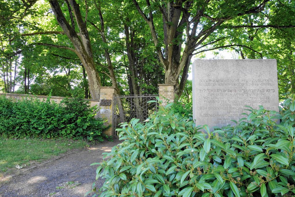
| Location | : | Ellwangen, Ostalbkreis, Germany |
| Coordinate | : | 48.9536770, 10.1354183 |
frequently asked questions (FAQ):
-
Where is Jüdischer Friedhof Ellwangen?
Jüdischer Friedhof Ellwangen is located at Ellwangen, Ostalbkreis ,Baden-Württemberg , 73479Germany.
-
Jüdischer Friedhof Ellwangen cemetery's updated grave count on graveviews.com?
0 memorials
-
Where are the coordinates of the Jüdischer Friedhof Ellwangen?
Latitude: 48.9536770
Longitude: 10.1354183
Nearby Cemetories:
1. Friedhof Sankt Wolfgang
Ellwangen, Ostalbkreis, Germany
Coordinate: 48.9568875, 10.1246099
2. Basilika St. Vitus
Ellwangen, Ostalbkreis, Germany
Coordinate: 48.9619440, 10.1320830
3. Friedhof Schönenberg
Ellwangen, Ostalbkreis, Germany
Coordinate: 48.9729100, 10.1479800
4. Friedhof Hüttlingen
Hüttlingen, Ostalbkreis, Germany
Coordinate: 48.8883100, 10.0954900
5. Friedhof Wasseralfingen
Wasseralfingen, Ostalbkreis, Germany
Coordinate: 48.8704000, 10.1082900
6. Friedhof Lippach
Lippach, Ostalbkreis, Germany
Coordinate: 48.8988568, 10.2509177
7. Friedhof Rosenberg
Aalen, Ostalbkreis, Germany
Coordinate: 49.0188066, 10.0322812
8. Friedhof Ellrichshausen
Satteldorf, Landkreis Schwäbisch Hall, Germany
Coordinate: 49.0000000, 10.0000000
9. Friedhof Lauchheim
Lauchheim, Ostalbkreis, Germany
Coordinate: 48.8726200, 10.2510100
10. Waldfriedhof Aalen
Aalen, Ostalbkreis, Germany
Coordinate: 48.8449898, 10.0786068
11. Friedhof St. Johann
Aalen, Ostalbkreis, Germany
Coordinate: 48.8365600, 10.0867700
12. Friedhof Wildenstein
Wildenstein, Landkreis Miltenberg, Germany
Coordinate: 49.0689900, 10.2003200
13. Wallfahrtskirche St. Marien
Zobingen, Ostalbkreis, Germany
Coordinate: 48.9308352, 10.3278907
14. Friedhof Stimpfach
Stimpfach, Landkreis Schwäbisch Hall, Germany
Coordinate: 49.0843000, 10.1209000
15. Friedhof Jagstheim
Crailsheim, Landkreis Schwäbisch Hall, Germany
Coordinate: 49.0894933, 10.0633375
16. Friedhof Bühlerzell
Bühlerzell, Landkreis Schwäbisch Hall, Germany
Coordinate: 49.0007523, 9.9190135
17. Kinderfriedhof Gantenwald
Bühlerzell, Landkreis Schwäbisch Hall, Germany
Coordinate: 48.9849334, 9.9064723
18. Friedhof Unterschneidheim
Unterschneidheim, Ostalbkreis, Germany
Coordinate: 48.9395140, 10.3687660
19. Jüdischer Friedhof Aufhausen
Aufhausen, Ostalbkreis, Germany
Coordinate: 48.8550367, 10.3179409
20. Jüdischer Friedhof Bopfingen
Bopfingen, Ostalbkreis, Germany
Coordinate: 48.8548200, 10.3186300
21. Friedhof Mönchsroth
Mönchsroth, Landkreis Ansbach, Germany
Coordinate: 49.0197610, 10.3651970
22. Friedhof Bopfingen
Bopfingen, Ostalbkreis, Germany
Coordinate: 48.8604034, 10.3450851
23. Friedhof Dinkelsbühl
Dinkelsbühl, Landkreis Ansbach, Germany
Coordinate: 49.0626108, 10.3291480
24. Katharinenfriedhof
Bopfingen, Ostalbkreis, Germany
Coordinate: 48.8608300, 10.3497967