
| Memorials | : | 0 |
| Location | : | Gauting, Landkreis Starnberg, Germany |
| Coordinate | : | 48.0723540, 11.3916310 |
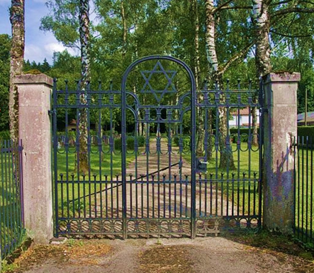
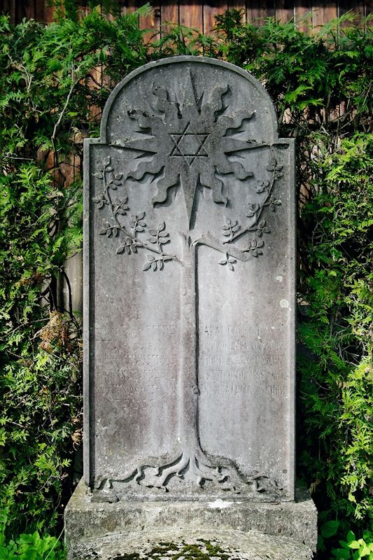
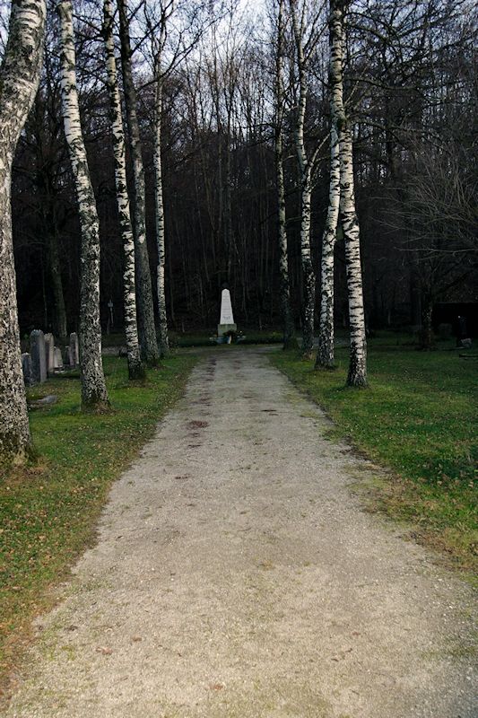
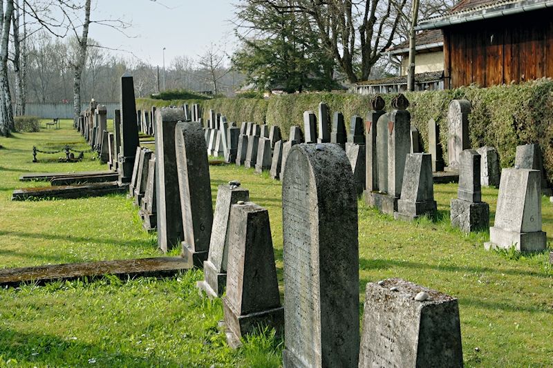
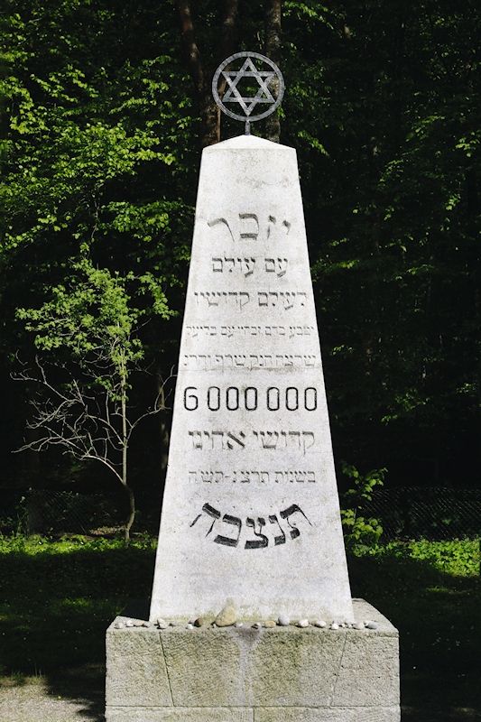
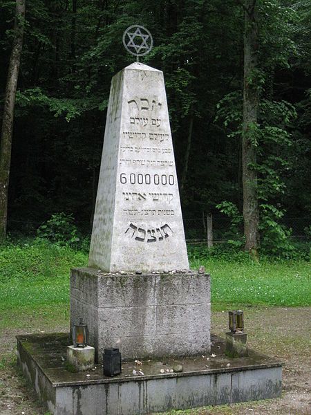
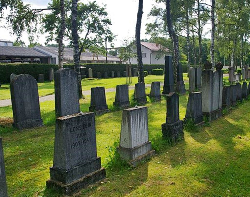
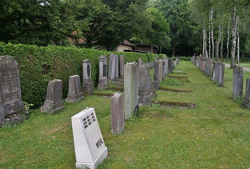
| Description | : | This cemetery is also referred to as the Israelischer Friedhof Gauting. It's managed by the Bavarian Castles, Gardens and Lakes Administration. From May 1945 until about 1956 there was a hospital for displaced persons in Gauting located in what used to be the German Airforce Lung Hospital. People infected with tuberculosis from 30 nations were treated here after the war, mainly survivors of local concentration camps. Many of them Jews. Mortality rates were high during the first post war months, but with the aid of American medications many survived. A new Jewish cemetery was created by the town of Gauting for the... Read More |
frequently asked questions (FAQ):
-
Where is Jüdischer Friedhof Gauting?
Jüdischer Friedhof Gauting is located at Planegger Strasse 40 Gauting, Landkreis Starnberg ,Bavaria (Bayern) , 82131Germany.
-
Jüdischer Friedhof Gauting cemetery's updated grave count on graveviews.com?
0 memorials
-
Where are the coordinates of the Jüdischer Friedhof Gauting?
Latitude: 48.0723540
Longitude: 11.3916310
Nearby Cemetories:
1. Waldfriedhof Gauting
Gauting, Landkreis Starnberg, Germany
Coordinate: 48.0733833, 11.3930693
2. Marienkirche Gauting
Gauting, Landkreis Starnberg, Germany
Coordinate: 48.0680700, 11.3787900
3. Friedhof Buchendorf
Gauting, Landkreis Starnberg, Germany
Coordinate: 48.0570570, 11.4026510
4. Friedhof Stockdorf
Gauting, Landkreis Starnberg, Germany
Coordinate: 48.0922400, 11.4076100
5. Friedhof Krailling
Krailling, Landkreis Starnberg, Germany
Coordinate: 48.0951810, 11.4178860
6. Parkfriedhof Krailling
Krailling, Landkreis Starnberg, Germany
Coordinate: 48.0939801, 11.4207946
7. Friedhof Planegg
Planegg, Landkreis München, Germany
Coordinate: 48.1023530, 11.4330650
8. Friedhof Leutstetten
Starnberg, Landkreis Starnberg, Germany
Coordinate: 48.0291634, 11.3668804
9. St. Alto Kirchhof
Starnberg, Landkreis Starnberg, Germany
Coordinate: 48.0291040, 11.3669780
10. Planegger Friedhof St. Georg
Steinkirchen, Landkreis München, Germany
Coordinate: 48.1114300, 11.4293000
11. Friedhof Unterbrunn
Gauting, Landkreis Starnberg, Germany
Coordinate: 48.0657200, 11.3220630
12. Waldfriedhof Germering
Germering, Landkreis Fürstenfeldbruck, Germany
Coordinate: 48.1180600, 11.3696700
13. Neuer Friedhof Neuried
Neuried, Landkreis München, Germany
Coordinate: 48.0952494, 11.4565626
14. Friedhof Hausen an der Dreifaltigkeitskriche
Gauting, Landkreis Starnberg, Germany
Coordinate: 48.0432190, 11.3306130
15. Kirchhof Neuried
Neuried, Landkreis München, Germany
Coordinate: 48.0918226, 11.4640865
16. Kirche St. Stephan
Grafelfing, Landkreis München, Germany
Coordinate: 48.1163400, 11.4360600
17. Friedhof Oberbrunn
Gauting, Landkreis Starnberg, Germany
Coordinate: 48.0502420, 11.3159280
18. Friedhof Gut Rieden. Starnberg
Starnberg, Landkreis Starnberg, Germany
Coordinate: 48.0248642, 11.3478146
19. Friedhof Gräfelfing
Grafelfing, Landkreis München, Germany
Coordinate: 48.1191400, 11.4468500
20. Starnberg - Friedhof Wangen St. Ulrich
Wangen, Landkreis Starnberg, Germany
Coordinate: 48.0113419, 11.4031405
21. Friedhof Sankt Jakob
Germering, Landkreis Fürstenfeldbruck, Germany
Coordinate: 48.1285295, 11.3498356
22. Friedhof Argelsried
Gilching, Landkreis Starnberg, Germany
Coordinate: 48.1047970, 11.3095530
23. Waldfriedhof Krieger-Ehrenhain
Grosshadern, Stadtkreis München, Germany
Coordinate: 48.0991000, 11.4786200
24. Gutsfriedhof Freiham
Freiham, Stadtkreis München, Germany
Coordinate: 48.1369420, 11.4017670