
| Memorials | : | 0 |
| Location | : | Starnberg, Landkreis Starnberg, Germany |
| Coordinate | : | 48.0248642, 11.3478146 |
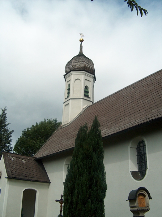
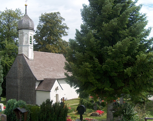
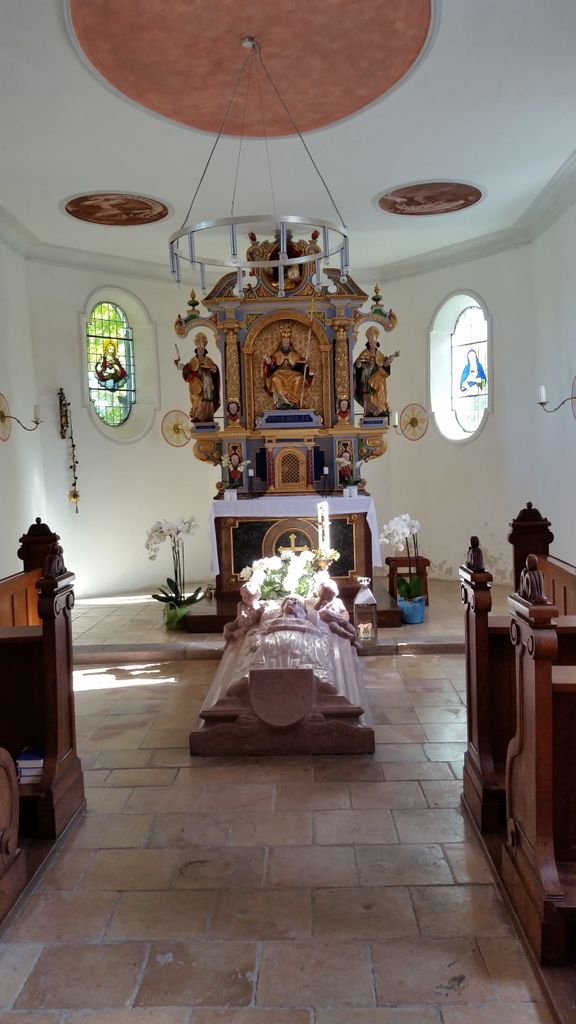
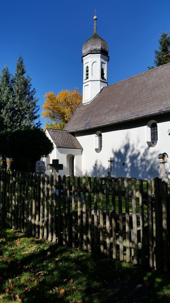
| Description | : | The "Friedhof Gut Rieden" lies in the rolling hills above Starnberg, a Bavarian town about 30 miles South of Munich. The Gut Rieden (Engl.: Rieden Estate) is now a popular tourist destination, with a hotel, golf course, restaurant and this old 18th century cemetery, which is still in use today. Other cemeteries nearby are: Pöcking (Gemeindefriedhof) Pöcking (Neuer Friedhof) Please note that the graves in Germany are not perpetual. After a certain period of repose (10-25 years) the graves are being leveled and re-used. There is no toxic embalming being done in Germany, so the coffin and the corpse have decomposed naturally. If the... Read More |
frequently asked questions (FAQ):
-
Where is Friedhof Gut Rieden. Starnberg?
Friedhof Gut Rieden. Starnberg is located at Riedener Weg Starnberg, Landkreis Starnberg ,Bavaria (Bayern) , 82319Germany.
-
Friedhof Gut Rieden. Starnberg cemetery's updated grave count on graveviews.com?
0 memorials
-
Where are the coordinates of the Friedhof Gut Rieden. Starnberg?
Latitude: 48.0248642
Longitude: 11.3478146
Nearby Cemetories:
1. Starnberg-Waldfriedhof
Starnberg, Landkreis Starnberg, Germany
Coordinate: 48.0146800, 11.3453700
2. Friedhof Leutstetten
Starnberg, Landkreis Starnberg, Germany
Coordinate: 48.0291634, 11.3668804
3. St. Alto Kirchhof
Starnberg, Landkreis Starnberg, Germany
Coordinate: 48.0291040, 11.3669780
4. Friedhof Hanfelderstrasse
Starnberg, Landkreis Starnberg, Germany
Coordinate: 48.0041100, 11.3400000
5. Friedhof Hausen an der Dreifaltigkeitskriche
Gauting, Landkreis Starnberg, Germany
Coordinate: 48.0432190, 11.3306130
6. Friedhof Söcking
Starnberg, Landkreis Starnberg, Germany
Coordinate: 48.0042229, 11.3223982
7. Gemeindefriedhof Starnberg - Percha
Starnberg, Landkreis Starnberg, Germany
Coordinate: 48.0004616, 11.3668032
8. Starnberg-St. Josefs Kirche
Starnberg, Landkreis Starnberg, Germany
Coordinate: 47.9977130, 11.3382250
9. Sankt Valentin Dorfkirche
Starnberg, Landkreis Starnberg, Germany
Coordinate: 47.9987640, 11.3646330
10. Mausoleum Söcking
Starnberg, Landkreis Starnberg, Germany
Coordinate: 48.0026436, 11.3202034
11. Friedhof Oberbrunn
Gauting, Landkreis Starnberg, Germany
Coordinate: 48.0502420, 11.3159280
12. Starnberg - Friedhof Wangen St. Ulrich
Wangen, Landkreis Starnberg, Germany
Coordinate: 48.0113419, 11.4031405
13. Friedhof Unterbrunn
Gauting, Landkreis Starnberg, Germany
Coordinate: 48.0657200, 11.3220630
14. Marienkirche Gauting
Gauting, Landkreis Starnberg, Germany
Coordinate: 48.0680700, 11.3787900
15. Friedhof Buchendorf
Gauting, Landkreis Starnberg, Germany
Coordinate: 48.0570570, 11.4026510
16. Friedhof Perchting
Starnberg, Landkreis Starnberg, Germany
Coordinate: 48.0003777, 11.2748775
17. St. Bartholomäus Kirchhof Maising
Maising, Landkreis Starnberg, Germany
Coordinate: 47.9861107, 11.2893600
18. Jüdischer Friedhof Gauting
Gauting, Landkreis Starnberg, Germany
Coordinate: 48.0723540, 11.3916310
19. Waldfriedhof Gauting
Gauting, Landkreis Starnberg, Germany
Coordinate: 48.0733833, 11.3930693
20. Alter Friedhof Pöcking
Pocking, Landkreis Starnberg, Germany
Coordinate: 47.9673424, 11.3019686
21. Neuer Friedhof Pöcking
Pocking, Landkreis Starnberg, Germany
Coordinate: 47.9680099, 11.2987900
22. Friedhof Aufkirchen
Berg am See, Landkreis Starnberg, Germany
Coordinate: 47.9570190, 11.3611760
23. Kirchhof St. Georg Oberpfaffenhofen
Oberpfaffenhofen, Landkreis Starnberg, Germany
Coordinate: 48.0746300, 11.2617300
24. Friedhof Schäftlarn
Schaftlarn, Landkreis München, Germany
Coordinate: 47.9923060, 11.4517440