
| Memorials | : | 0 |
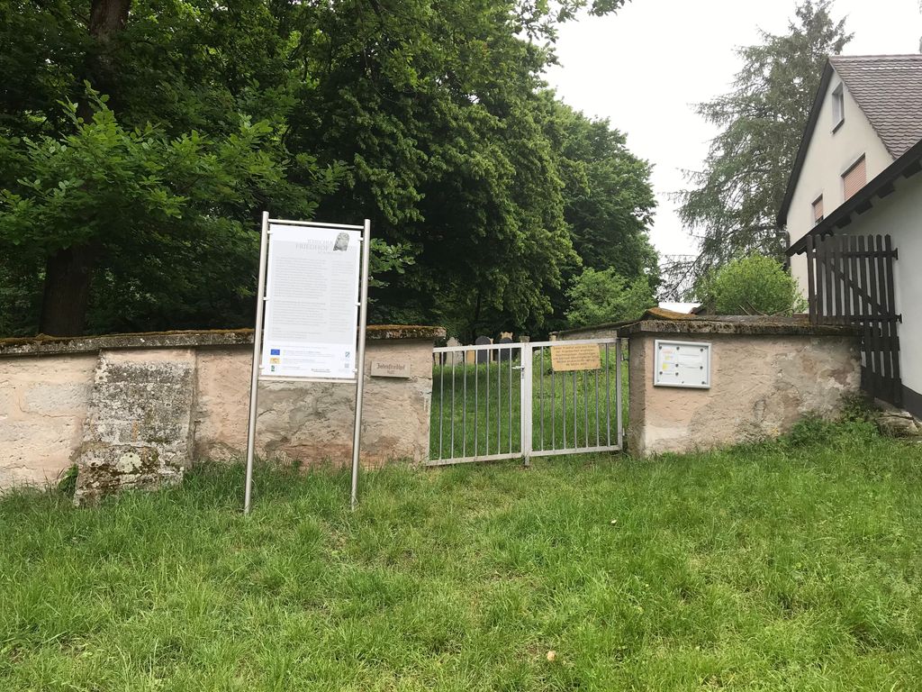
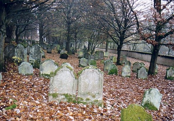
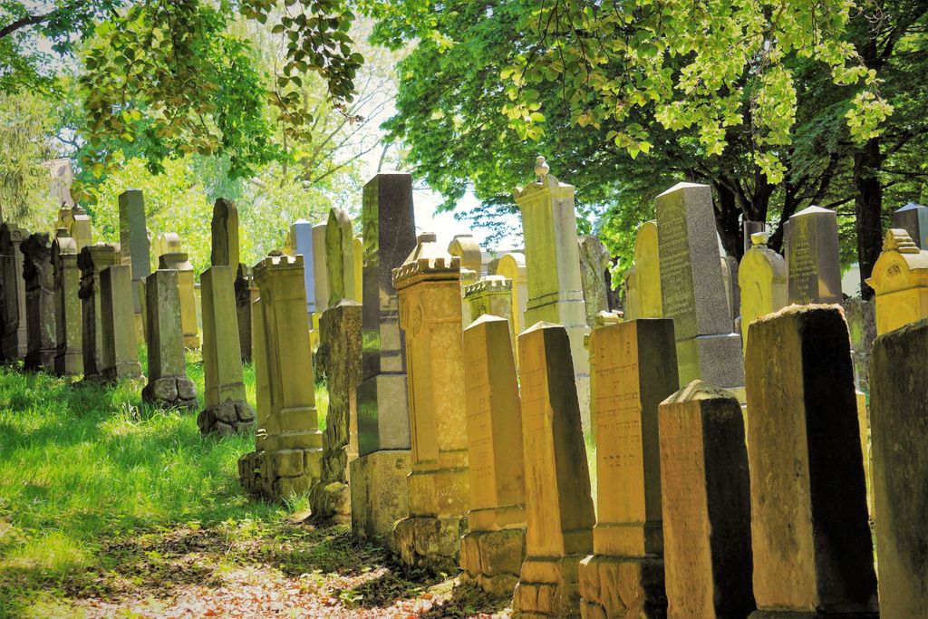
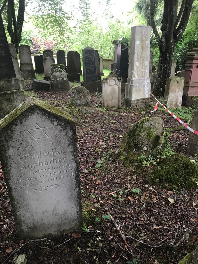
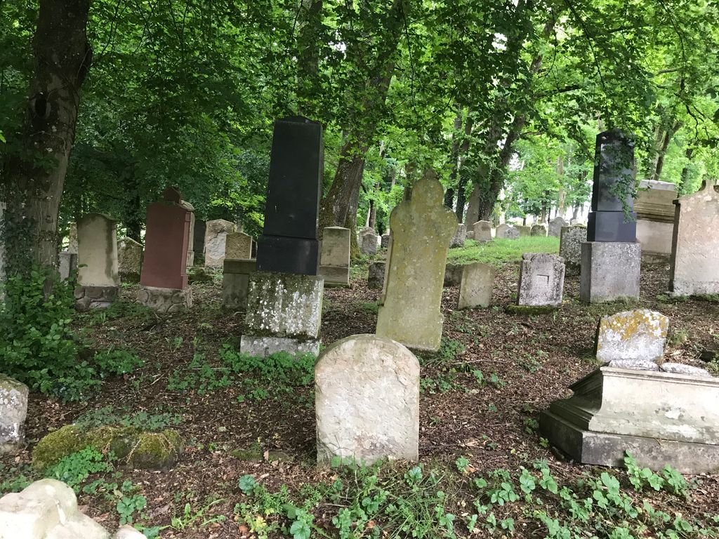
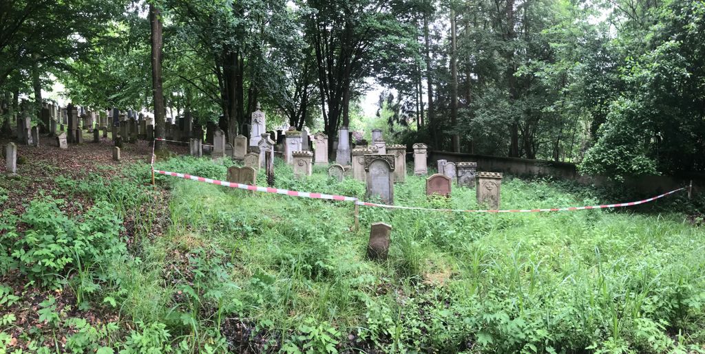
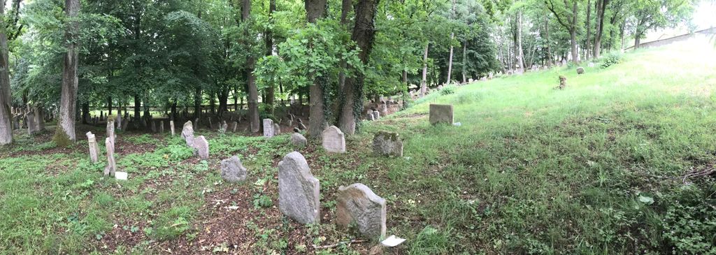
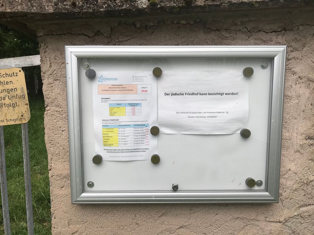
| Location | : | Schopfloch, Landkreis Ansbach, Germany |
| Website | : | www.juedischer-friedhof-schopfloch.de |
| Coordinate | : | 49.1249000, 10.3033200 |
frequently asked questions (FAQ):
-
Where is Jüdischer Friedhof Schopfloch?
Jüdischer Friedhof Schopfloch is located at Schopfloch, Landkreis Ansbach ,Bavaria (Bayern) ,Germany.
-
Jüdischer Friedhof Schopfloch cemetery's updated grave count on graveviews.com?
0 memorials
-
Where are the coordinates of the Jüdischer Friedhof Schopfloch?
Latitude: 49.1249000
Longitude: 10.3033200
Nearby Cemetories:
1. Friedhof Weidelbach
Dinkelsbühl, Landkreis Ansbach, Germany
Coordinate: 49.1181964, 10.2488744
2. Friedhof Feuchtwangen
Feuchtwangen, Landkreis Ansbach, Germany
Coordinate: 49.1647772, 10.3325603
3. Friedhof Bergertshofen
Bergertshofen, Landkreis Schwäbisch Hall, Germany
Coordinate: 49.1530600, 10.2160300
4. Friedhof Dinkelsbühl
Dinkelsbühl, Landkreis Ansbach, Germany
Coordinate: 49.0626108, 10.3291480
5. Friedhof Leukershausen
Leukershausen, Landkreis Schwäbisch Hall, Germany
Coordinate: 49.1616200, 10.1865600
6. Friedhof Wildenstein
Wildenstein, Landkreis Miltenberg, Germany
Coordinate: 49.0689900, 10.2003200
7. Friedhof Dorfkemmathen
Dorfkemmathen, Landkreis Ansbach, Germany
Coordinate: 49.0835504, 10.4432640
8. St. Michael Obermichelbach
Obermichelbach, Landkreis Ansbach, Germany
Coordinate: 49.0601483, 10.4351895
9. Friedhof Mönchsroth
Mönchsroth, Landkreis Ansbach, Germany
Coordinate: 49.0197610, 10.3651970
10. Friedhof Schnelldorf
Schnelldorf, Landkreis Ansbach, Germany
Coordinate: 49.2013287, 10.1722141
11. Friedhof Wildenholz
Wildenholz, Landkreis Ansbach, Germany
Coordinate: 49.2218480, 10.2031385
12. Friedhof Wieseth
Wieseth, Landkreis Ansbach, Germany
Coordinate: 49.1613807, 10.4794709
13. Friedhof Stimpfach
Stimpfach, Landkreis Schwäbisch Hall, Germany
Coordinate: 49.0843000, 10.1209000
14. Erzberg Cemetery
Erzberg, Landkreis Ansbach, Germany
Coordinate: 49.2396733, 10.2096363
15. Friedhof Dombühl
Dombuhl, Landkreis Ansbach, Germany
Coordinate: 49.2548865, 10.2907465
16. St. Veit Lutheran Church Cemetery
Dombuhl, Landkreis Ansbach, Germany
Coordinate: 49.2549489, 10.2872245
17. Friedhof Kloster Sulz
Kloster Sulz, Landkreis Ansbach, Germany
Coordinate: 49.2603319, 10.3101912
18. Friedhof Wörnitz
Wörnitz, Landkreis Ansbach, Germany
Coordinate: 49.2567417, 10.2422890
19. Friedhof Ingersheim
Crailsheim, Landkreis Schwäbisch Hall, Germany
Coordinate: 49.1205597, 10.0819076
20. Friedhof Weissenkirchberg-Brunst
Weissenkirchberg, Landkreis Ansbach, Germany
Coordinate: 49.2714885, 10.3384210
21. Jüdischer Friedhof
Crailsheim, Landkreis Schwäbisch Hall, Germany
Coordinate: 49.1441800, 10.0770600
22. Friedhof Satteldorf
Satteldorf, Landkreis Schwäbisch Hall, Germany
Coordinate: 49.1703913, 10.0824282
23. Crailsheim Hauptfriedhof
Crailsheim, Landkreis Schwäbisch Hall, Germany
Coordinate: 49.1449700, 10.0703430
24. Friedhof Jagstheim
Crailsheim, Landkreis Schwäbisch Hall, Germany
Coordinate: 49.0894933, 10.0633375