
| Memorials | : | 0 |
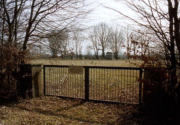
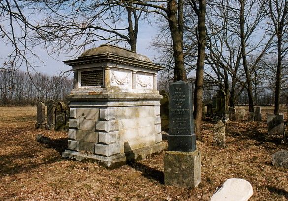
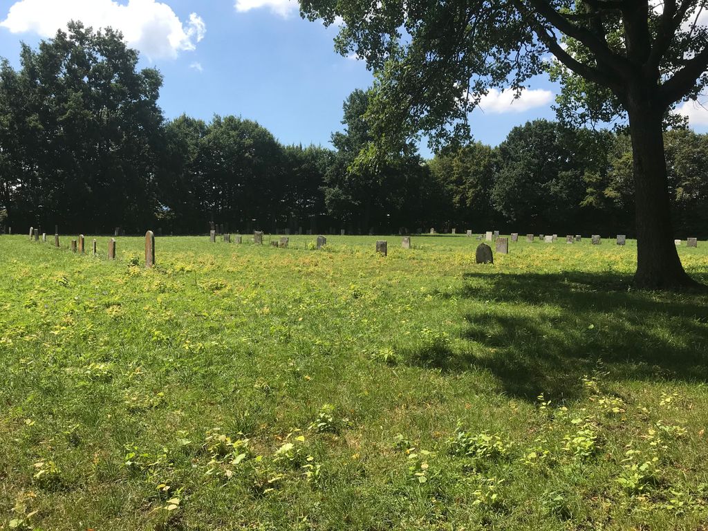
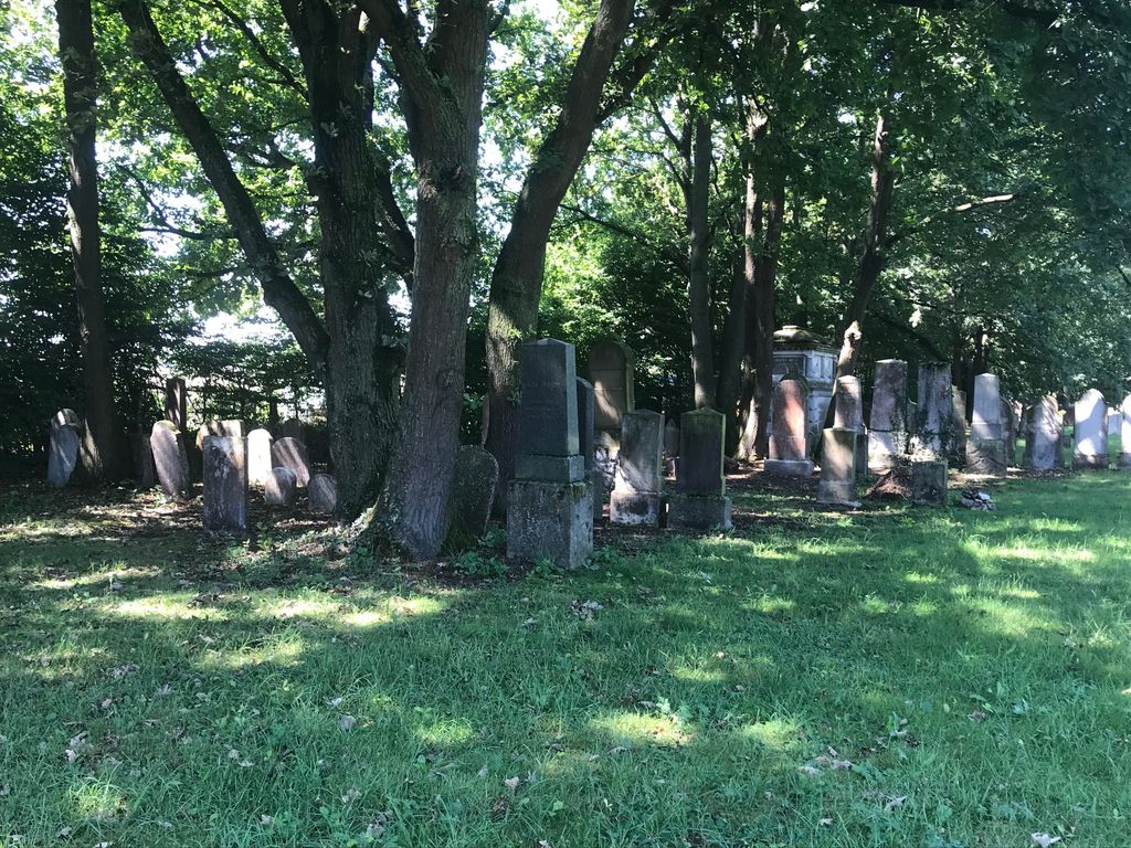
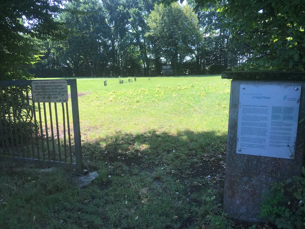
| Location | : | Wallerstein, Landkreis Donau-Ries, Germany |
| Coordinate | : | 48.8892170, 10.4920120 |
| Description | : | Wallerstein is a town in the district of Donau-Ries in Bavaria in Germany. |
frequently asked questions (FAQ):
-
Where is Jüdischer Friedhof Wallerstein?
Jüdischer Friedhof Wallerstein is located at Wallerstein, Landkreis Donau-Ries ,Bavaria (Bayern) ,Germany.
-
Jüdischer Friedhof Wallerstein cemetery's updated grave count on graveviews.com?
0 memorials
-
Where are the coordinates of the Jüdischer Friedhof Wallerstein?
Latitude: 48.8892170
Longitude: 10.4920120
Nearby Cemetories:
1. St.-Georgs-Kirche
Nördlingen, Landkreis Donau-Ries, Germany
Coordinate: 48.8506700, 10.4884200
2. Klosterkirche Maria Immaculata
Maihingen, Landkreis Donau-Ries, Germany
Coordinate: 48.9284000, 10.4914600
3. Jüdischer Friedhof Nördlingen
Nördlingen, Landkreis Donau-Ries, Germany
Coordinate: 48.8482300, 10.4777300
4. Friedhof Nördlingen
Nördlingen, Landkreis Donau-Ries, Germany
Coordinate: 48.8461070, 10.4809419
5. Kloster Zimmern
Deiningen, Landkreis Donau-Ries, Germany
Coordinate: 48.8762000, 10.5569000
6. Jüdischer Friedhof Pflaumloch
Pflaumloch, Ostalbkreis, Germany
Coordinate: 48.8507600, 10.4308700
7. Pfarrkirche Mariä Himmelfahrt
Kirchheim am Ries, Ostalbkreis, Germany
Coordinate: 48.8768800, 10.3975200
8. St. Jodokus-Kirche, Enkingen.
Enkingen, Landkreis Donau-Ries, Germany
Coordinate: 48.8266170, 10.5738487
9. Friedhof Unterschneidheim
Unterschneidheim, Ostalbkreis, Germany
Coordinate: 48.9395140, 10.3687660
10. Friedhof Bopfingen
Bopfingen, Ostalbkreis, Germany
Coordinate: 48.8569440, 10.3522220
11. Katharinenfriedhof
Bopfingen, Ostalbkreis, Germany
Coordinate: 48.8608300, 10.3497967
12. Friedhof Bopfingen
Bopfingen, Ostalbkreis, Germany
Coordinate: 48.8604034, 10.3450851
13. Kloster Christgarten
Ederheim, Landkreis Donau-Ries, Germany
Coordinate: 48.7827600, 10.4616700
14. Wallfahrtskirche St. Marien
Zobingen, Ostalbkreis, Germany
Coordinate: 48.9308352, 10.3278907
15. Jüdischer Friedhof Bopfingen
Bopfingen, Ostalbkreis, Germany
Coordinate: 48.8548200, 10.3186300
16. Jüdischer Friedhof Aufhausen
Aufhausen, Ostalbkreis, Germany
Coordinate: 48.8550367, 10.3179409
17. Jüdischer Friedhof Mönchsdeggingen
Mönchsdeggingen, Landkreis Donau-Ries, Germany
Coordinate: 48.7713200, 10.5761000
18. Jewish Cemetery of Steinhart
Steinhart, Landkreis Donau-Ries, Germany
Coordinate: 48.9600246, 10.6754638
19. Friedhof Mönchsroth
Mönchsroth, Landkreis Ansbach, Germany
Coordinate: 49.0197610, 10.3651970
20. Friedhof Lippach
Lippach, Ostalbkreis, Germany
Coordinate: 48.8988568, 10.2509177
21. Friedhof Lauchheim
Lauchheim, Ostalbkreis, Germany
Coordinate: 48.8726200, 10.2510100
22. Abtei Neresheim
Neresheim, Ostalbkreis, Germany
Coordinate: 48.7558700, 10.3436600
23. Friedhof Neresheim
Neresheim, Ostalbkreis, Germany
Coordinate: 48.7524000, 10.3343800
24. St. Michael Obermichelbach
Obermichelbach, Landkreis Ansbach, Germany
Coordinate: 49.0601483, 10.4351895