
| Memorials | : | 0 |
| Location | : | Odense, Odense Kommune, Denmark |
| Coordinate | : | 55.7536110, 9.4150000 |
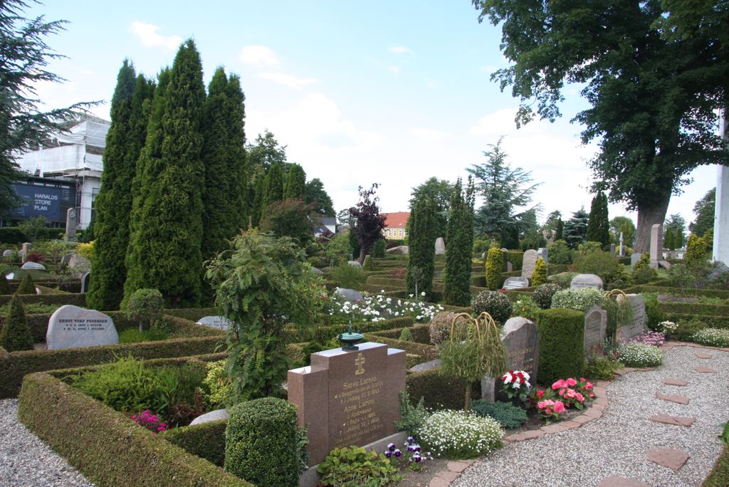
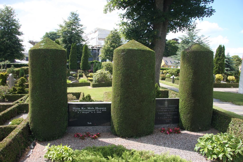
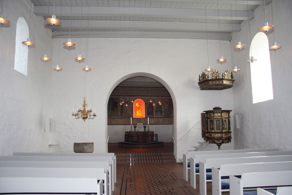
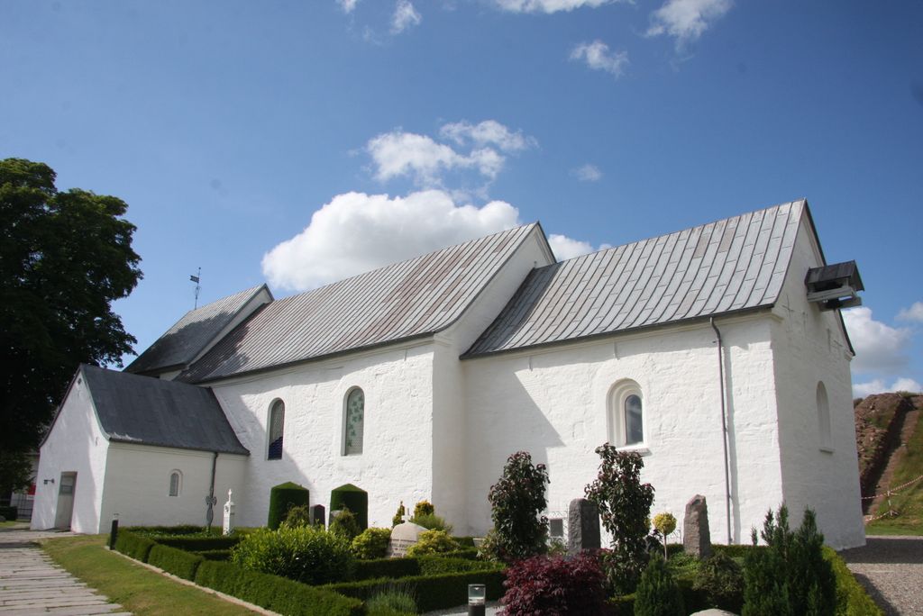
| Description | : | Jelling Church dates back to around 1100 and is the fourth church on the site. The first was a wooden church erected in the eighth century by Harald Bluetooth. Harald built the church after his conversion to Christianity. |
frequently asked questions (FAQ):
-
Where is Jelling Church Cemetery?
Jelling Church Cemetery is located at Odense, Odense Kommune ,Syddanmark ,Denmark.
-
Jelling Church Cemetery cemetery's updated grave count on graveviews.com?
0 memorials
-
Where are the coordinates of the Jelling Church Cemetery?
Latitude: 55.7536110
Longitude: 9.4150000
Nearby Cemetories:
1. Thyra Mound Jelling
Odense, Odense Kommune, Denmark
Coordinate: 55.7536110, 9.4150000
2. Hover Kirkegård
Hover, Vejle Kommune, Denmark
Coordinate: 55.7359954, 9.4964990
3. Skibet kirkegård
Skibet, Vejle Kommune, Denmark
Coordinate: 55.7051300, 9.4412600
4. Odsted Kirkegård
Odsted, Vejle Kommune, Denmark
Coordinate: 55.6622215, 9.3948929
5. Smidstrup Kirkegård
Smidstrup (Klattrup), Vejle Kommune, Denmark
Coordinate: 55.6118146, 9.5658868
6. Daugård Cemetery
Daugard, Hedensted Kommune, Denmark
Coordinate: 55.7323246, 9.7194948
7. Gauerslund Kirkegård
Gauerslund, Vejle Kommune, Denmark
Coordinate: 55.6479173, 9.6621918
8. Grene Churchyard
Billund, Billund Kommune, Denmark
Coordinate: 55.7325260, 9.0770470
9. Almind kirkegård
Almind, Kolding Kommune, Denmark
Coordinate: 55.5658100, 9.4891500
10. Hejnsvig
Hejnsvig, Billund Kommune, Denmark
Coordinate: 55.6952913, 8.9956075
11. Christians Kirkegård
Fredericia Kommune, Denmark
Coordinate: 55.5796474, 9.7577431
12. Kolding Gamle Kirkegaard
Kolding, Kolding Kommune, Denmark
Coordinate: 55.4855006, 9.4695359
13. Klejs Cemetery
Klejs, Hedensted Kommune, Denmark
Coordinate: 55.7422501, 9.9387915
14. Vissing
Randers, Randers Kommune, Denmark
Coordinate: 56.0230556, 9.6422222
15. Middelfart Kirkegårde Vestre
Middelfart Kommune, Denmark
Coordinate: 55.5074114, 9.7253168
16. Klakring Cemetery
Juelsminde, Hedensted Kommune, Denmark
Coordinate: 55.7148780, 9.9568030
17. Brørup Gamle Kirkegård
Brorup, Vejen Kommune, Denmark
Coordinate: 55.5016190, 8.9892640
18. Brøup Gamle kirkegård
Albaek, Esbjerg Kommune, Denmark
Coordinate: 55.5016200, 8.9890790
19. Taps
Taps, Kolding Kommune, Denmark
Coordinate: 55.3929900, 9.4712862
20. Aller Kirkegaard
Haderslev, Haderslev Kommune, Denmark
Coordinate: 55.3613000, 9.5322000
21. Christiansfeld
Billund, Billund Kommune, Denmark
Coordinate: 55.3572376, 9.4835293
22. Bording Cemetery
Bording Stationsby, Ikast-Brande Kommune, Denmark
Coordinate: 56.1444000, 9.2765800
23. Skovlund Kirkegaard
Varde, Varde Kommune, Denmark
Coordinate: 55.7391970, 8.7045370
24. Føvling
Fovling, Vejen Kommune, Denmark
Coordinate: 55.4513039, 8.9373985