
| Memorials | : | 0 |
| Location | : | Kolham, Slochteren Municipality, Netherlands |
| Coordinate | : | 53.1719150, 6.7532010 |
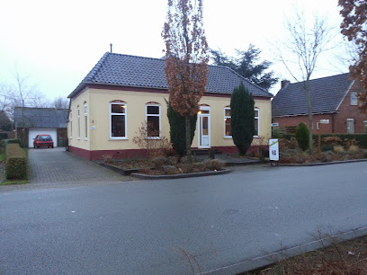
| Description | : | Founded 1836. Served the communities of Hoogezand-Sappemeer, Slochteren and surrounding areas. |
frequently asked questions (FAQ):
-
Where is Joodse begraafplaats?
Joodse begraafplaats is located at Knijpslaan Kolham, Slochteren Municipality ,Groningen ,Netherlands.
-
Joodse begraafplaats cemetery's updated grave count on graveviews.com?
0 memorials
-
Where are the coordinates of the Joodse begraafplaats?
Latitude: 53.1719150
Longitude: 6.7532010
Nearby Cemetories:
1. Stille Hof Cemetery
Hoogezand, Hoogezand-Sappemeer Municipality, Netherlands
Coordinate: 53.1657700, 6.7544100
2. Kolham algemene begraafplaats
Kolham, Slochteren Municipality, Netherlands
Coordinate: 53.1819100, 6.7476200
3. Kropswolde Protestant Churchyard
Kropswolde, Hoogezand-Sappemeer Municipality, Netherlands
Coordinate: 53.1484800, 6.7236900
4. Sappemeer Oosterbegraafplaats
Sappemeer, Hoogezand-Sappemeer Municipality, Netherlands
Coordinate: 53.1653100, 6.8047100
5. Joodse Begraafplaats
Zuidbroek, Menterwolde Municipality, Netherlands
Coordinate: 53.1786750, 6.8508180
6. Schildwolde Begraafplaats
Schildwolde, Slochteren Municipality, Netherlands
Coordinate: 53.2313400, 6.8188100
7. Haren Eshof Cemetery
Haren, Haren Municipality, Netherlands
Coordinate: 53.1623800, 6.6124700
8. Veendam Buitenwoelhof Cemetery
Veendam, Veendam Municipality, Netherlands
Coordinate: 53.1089600, 6.8582900
9. Zuidlaren General Cemetery
Zuidlaren, Tynaarlo Municipality, Netherlands
Coordinate: 53.0903300, 6.6912700
10. Joodse Begraafplaats
Zuidlaren, Tynaarlo Municipality, Netherlands
Coordinate: 53.0954300, 6.6635300
11. Esserveld General Cemetery
Groningen, Groningen Municipality, Netherlands
Coordinate: 53.1894200, 6.5928600
12. Veendam General Cemetery
Veendam, Veendam Municipality, Netherlands
Coordinate: 53.1052100, 6.8747400
13. Algemene Begraafplaats Woltershof
Woltersum, Ten Boer Municipality, Netherlands
Coordinate: 53.2707171, 6.7271028
14. Noorddijk General Cemetery
Noorddijk, Groningen Municipality, Netherlands
Coordinate: 53.2434500, 6.6258200
15. Meeden algemene begraafplaats
Meeden, Menterwolde Municipality, Netherlands
Coordinate: 53.1402300, 6.9321200
16. Ten Boer Protestant Cemetery
Ten Boer, Ten Boer Municipality, Netherlands
Coordinate: 53.2781900, 6.6933300
17. Groningen Zuiderbegraafplaats
Groningen, Groningen Municipality, Netherlands
Coordinate: 53.2061100, 6.5720200
18. Wittewierum Kerkhof
Wittewierum, Ten Boer Municipality, Netherlands
Coordinate: 53.2876700, 6.7479300
19. Thesinge Begraafplaats
Thesinge, Ten Boer Municipality, Netherlands
Coordinate: 53.2721400, 6.6550500
20. Eelde General Cemetery
Eelde, Tynaarlo Municipality, Netherlands
Coordinate: 53.1351100, 6.5649200
21. Ten Post Begraafplaats
Ten Post, Ten Boer Municipality, Netherlands
Coordinate: 53.2909200, 6.7434400
22. Nieuw-Scheemda Protestant Churchyard
Nieuw Scheemda, Oldambt Municipality, Netherlands
Coordinate: 53.2100700, 6.9425500
23. Scheemda Protestant Church Cemetery
Scheemda, Oldambt Municipality, Netherlands
Coordinate: 53.1747842, 6.9623618
24. Eexter Begraafplaats
Scheemda, Oldambt Municipality, Netherlands
Coordinate: 53.1746100, 6.9629500