
| Memorials | : | 0 |
| Location | : | Groningen, Groningen Municipality, Netherlands |
| Coordinate | : | 53.2061100, 6.5720200 |
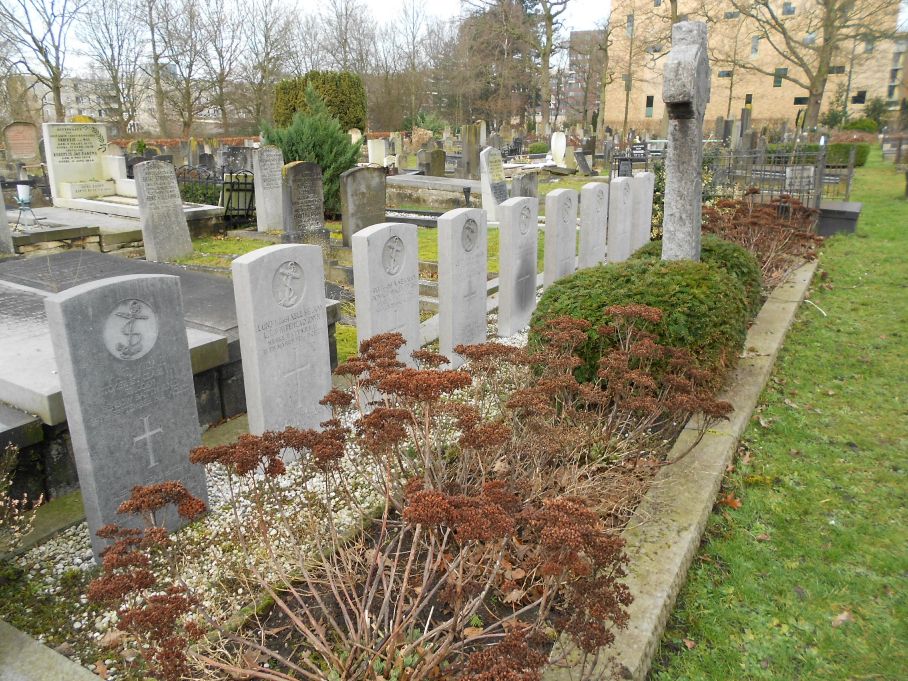
| Description | : | The town of Groningen is situated in the north-east of the Netherlands on the junction of the A7 and A28 motorways. From the motorway A7 take the turn off between junctions 37 and 38. At the crossroads take the Hereweg, direction Groningen, and the cemetery is just past the flyover on the left. |
frequently asked questions (FAQ):
-
Where is Groningen Zuiderbegraafplaats?
Groningen Zuiderbegraafplaats is located at Groningen, Groningen Municipality ,Groningen ,Netherlands.
-
Groningen Zuiderbegraafplaats cemetery's updated grave count on graveviews.com?
0 memorials
-
Where are the coordinates of the Groningen Zuiderbegraafplaats?
Latitude: 53.2061100
Longitude: 6.5720200
Nearby Cemetories:
1. Esserveld General Cemetery
Groningen, Groningen Municipality, Netherlands
Coordinate: 53.1894200, 6.5928600
2. Groningen Noorderbegraafplaats
Groningen, Groningen Municipality, Netherlands
Coordinate: 53.2305500, 6.5523300
3. Joodse Begraafplaats Moesstraat
Groningen, Groningen Municipality, Netherlands
Coordinate: 53.2305560, 6.5505560
4. Selwerderhof Cemetery
Groningen, Groningen Municipality, Netherlands
Coordinate: 53.2394500, 6.5534100
5. Joodse Begraafplaats Iepenlaan
Groningen, Groningen Municipality, Netherlands
Coordinate: 53.2402780, 6.5544440
6. Crematorium Groningen
Groningen, Groningen Municipality, Netherlands
Coordinate: 53.2383066, 6.5448000
7. Hoogkerk General Cemetery
Hoogkerk, Groningen Municipality, Netherlands
Coordinate: 53.2241600, 6.5000500
8. Noorddijk General Cemetery
Noorddijk, Groningen Municipality, Netherlands
Coordinate: 53.2434500, 6.6258200
9. Haren Eshof Cemetery
Haren, Haren Municipality, Netherlands
Coordinate: 53.1623800, 6.6124700
10. Leegkerk Cemetery
Leegkerk, Groningen Municipality, Netherlands
Coordinate: 53.2298700, 6.4904700
11. Dorkwerd Cemetery
Dorkwerd, Groningen Municipality, Netherlands
Coordinate: 53.2504800, 6.5120500
12. Roderwolde Cemetery
Roderwolde, Noordenveld Municipality, Netherlands
Coordinate: 53.1744600, 6.4692700
13. Eelde General Cemetery
Eelde, Tynaarlo Municipality, Netherlands
Coordinate: 53.1351100, 6.5649200
14. Begraafplaats Wierum
Wierumerschouw, Zuidhorn Municipality, Netherlands
Coordinate: 53.2683085, 6.5122962
15. Begraafplaats Peize
Peize, Noordenveld Municipality, Netherlands
Coordinate: 53.1411443, 6.4885591
16. Begraafplaats Peize
Peize, Noordenveld Municipality, Netherlands
Coordinate: 53.1411443, 6.4885591
17. Begraafplaats Peize
Peize, Noordenveld Municipality, Netherlands
Coordinate: 53.1410679, 6.4883162
18. Thesinge Begraafplaats
Thesinge, Ten Boer Municipality, Netherlands
Coordinate: 53.2721400, 6.6550500
19. Begraafplaats Aduard
Aduard, Zuidhorn Municipality, Netherlands
Coordinate: 53.2569012, 6.4631144
20. Bedum Algemene Begraafplaats
Bedum, Bedum Municipality, Netherlands
Coordinate: 53.2969400, 6.6033200
21. Sauwerd New Cemetery
Sauwerd, Winsum Municipality, Netherlands
Coordinate: 53.2975400, 6.5357900
22. Zuidhorn New Cemetery
Zuidhorn, Zuidhorn Municipality, Netherlands
Coordinate: 53.2399900, 6.4111100
23. Ten Boer Protestant Cemetery
Ten Boer, Ten Boer Municipality, Netherlands
Coordinate: 53.2781900, 6.6933300
24. Sint Annen Begraafplaats
Sint Annen, Ten Boer Municipality, Netherlands
Coordinate: 53.2965300, 6.6592300