
| Memorials | : | 0 |
| Location | : | Vlaardingen Municipality, Netherlands |
| Coordinate | : | 51.9096700, 4.3588700 |
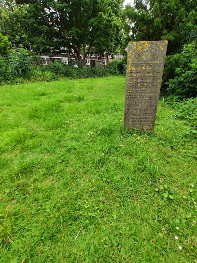
| Description | : | Established 1862. |
frequently asked questions (FAQ):
-
Where is Joodse Begraafplaats?
Joodse Begraafplaats is located at Schiedamseweg Vlaardingen Municipality ,Zuid-Holland , 3134BHNetherlands.
-
Joodse Begraafplaats cemetery's updated grave count on graveviews.com?
0 memorials
-
Where are the coordinates of the Joodse Begraafplaats?
Latitude: 51.9096700
Longitude: 4.3588700
Nearby Cemetories:
1. Emaus General Cemetery
Vlaardingen, Vlaardingen Municipality, Netherlands
Coordinate: 51.9172092, 4.3458557
2. Begraafplaats Pernis
Pernis, Rotterdam Municipality, Netherlands
Coordinate: 51.8893400, 4.3809700
3. Holy Begraafplaats
Vlaardingen, Vlaardingen Municipality, Netherlands
Coordinate: 51.9384700, 4.3380100
4. Begraafplaats Oudeland
Hoogvliet, Rotterdam Municipality, Netherlands
Coordinate: 51.8730895, 4.3670523
5. Sint Jacobus de Meerdere
Kethel, Schiedam Municipality, Netherlands
Coordinate: 51.9439015, 4.3871233
6. Sint Petrus Banden Cemetery
Overschie, Rotterdam Municipality, Netherlands
Coordinate: 51.9412266, 4.4221499
7. Rotterdam General Cemetery Hofwijk
Rotterdam, Rotterdam Municipality, Netherlands
Coordinate: 51.9574200, 4.3986700
8. Joodse begraafplaats Delfshaven
Delfshaven, Rotterdam Municipality, Netherlands
Coordinate: 51.9060180, 4.4573698
9. Algemene Begraafplaats
Maassluis, Maassluis Municipality, Netherlands
Coordinate: 51.9162000, 4.2579500
10. Rozenburg General Cemetery
Rozenburg, Rotterdam Municipality, Netherlands
Coordinate: 51.9034500, 4.2513600
11. Rooms-Katholieke Begraafplaats
Schipluiden, Midden-Delfland Municipality, Netherlands
Coordinate: 51.9865029, 4.3193462
12. Joodse begraafplaats
Geervliet, Nissewaard Municipality, Netherlands
Coordinate: 51.8602530, 4.2556100
13. Begraafplaats Charlois
Charlois, Rotterdam Municipality, Netherlands
Coordinate: 51.8651000, 4.4678800
14. Joods begraafplaats Jan van Loonslaan
Rotterdam Municipality, Netherlands
Coordinate: 51.9252400, 4.4883000
15. Protestant Church Cemetery
Heenvliet, Nissewaard Municipality, Netherlands
Coordinate: 51.8643528, 4.2439972
16. Rotterdam Crooswijk General Cemetery
Rotterdam, Rotterdam Municipality, Netherlands
Coordinate: 51.9393500, 4.4911600
17. Begraafplaats Heenvliet
Heenvliet, Nissewaard Municipality, Netherlands
Coordinate: 51.8654244, 4.2359608
18. Begraafplaats Sint Laurentius
Rotterdam, Rotterdam Municipality, Netherlands
Coordinate: 51.9342100, 4.4958500
19. De Lier Cemetery
De Lier, Westland Municipality, Netherlands
Coordinate: 51.9712106, 4.2550109
20. Joodse begraafplaats Oostzeedijk
Rotterdam Municipality, Netherlands
Coordinate: 51.9219440, 4.5036110
21. Delft Jaffa Cemetery
Delft, Delft Municipality, Netherlands
Coordinate: 52.0038500, 4.3724500
22. Joodse Begraafplaats
Oud-Beijerland, Oud-Beijerland Municipality, Netherlands
Coordinate: 51.8228750, 4.4203050
23. Protestantse Begraafplaats Hillegersberg
Hillegersberg-Schiebroek, Rotterdam Municipality, Netherlands
Coordinate: 51.9559332, 4.4934316
24. Zwartewaal General Cemetery
Zwartewaal, Brielle Municipality, Netherlands
Coordinate: 51.8781800, 4.2135600