| Memorials | : | 0 |
| Location | : | Battlefield, Greene County, USA |
| Coordinate | : | 37.1032791, -93.3523407 |
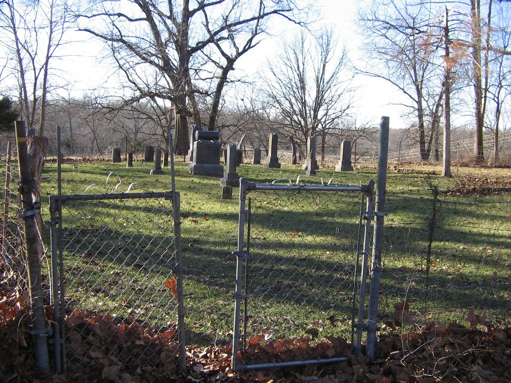
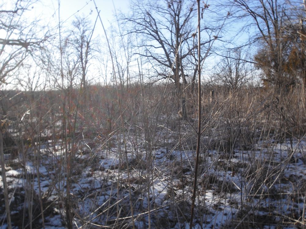
| Description | : | The Owen Family Cemetery is located to the south of Springfield, Greene County, Missouri, on South Farm Road 131, 1-1/2 miles south of the intersection of Weaver Road. It is located on the west side of the road behind a private residence. The burial dates in this cemetery range from 1877 to 1933. With exception of the family of John and Sarah Davis Stewart most of the burials are Owen family members. The owner of the land is glad to allow visitors. Although she does expect to be notified/asked before crossing her back yard to enter the cemetery. The cemetery is... Read More |
frequently asked questions (FAQ):
-
Where is Julian-FulbrightOwen Family Cemetery?
Julian-FulbrightOwen Family Cemetery is located at Battlefield, Greene County ,Missouri ,USA.
-
Julian-FulbrightOwen Family Cemetery cemetery's updated grave count on graveviews.com?
0 memorials
-
Where are the coordinates of the Julian-FulbrightOwen Family Cemetery?
Latitude: 37.1032791
Longitude: -93.3523407
Nearby Cemetories:
1. Glidewell Cemetery
Guin, Christian County, USA
Coordinate: 37.0924100, -93.3755000
2. Patterson Cemetery
Springfield, Greene County, USA
Coordinate: 37.1044006, -93.3186035
3. Phillips Cemetery
Battlefield, Greene County, USA
Coordinate: 37.1281013, -93.3694000
4. Manley Cemetery
Nixa, Christian County, USA
Coordinate: 37.0802994, -93.3731003
5. Griffin Cemetery
Nixa, Christian County, USA
Coordinate: 37.0749250, -93.3716139
6. Payne Cemetery
Nixa, Christian County, USA
Coordinate: 37.0917015, -93.3086014
7. Norman Cemetery
Battlefield, Greene County, USA
Coordinate: 37.1394420, -93.3649380
8. McHaffie Cemetery
Springfield, Greene County, USA
Coordinate: 37.0971985, -93.3993988
9. Manley Cemetery
Republic, Greene County, USA
Coordinate: 37.0972746, -93.3996353
10. Edgar Cemetery
Battlefield, Greene County, USA
Coordinate: 37.1157990, -93.4021988
11. McElhaney Cemetery
Republic, Greene County, USA
Coordinate: 37.1425896, -93.3742294
12. Yarbrough Cemetery
Greene County, USA
Coordinate: 37.1314011, -93.3106003
13. McConnell-Bledsoe Cemetery
Nixa, Christian County, USA
Coordinate: 37.0588417, -93.3495712
14. McConnell Memorial Cemetery
Nixa, Christian County, USA
Coordinate: 37.0586014, -93.3399963
15. Hale Cemetery
Christian County, USA
Coordinate: 37.0800018, -93.4047012
16. Payne Family Cemeteru
Springfield, Greene County, USA
Coordinate: 37.1515046, -93.3550087
17. Payne Cemetery
Springfield, Greene County, USA
Coordinate: 37.1516113, -93.3547516
18. Delaware Cemetery
Nixa, Christian County, USA
Coordinate: 37.0591698, -93.3954468
19. Hampton Cemetery
Springfield, Greene County, USA
Coordinate: 37.1568298, -93.3744202
20. Carmelite Monastery Cemetery
Springfield, Greene County, USA
Coordinate: 37.1396103, -93.2893677
21. Gibson Cemetery
Christian County, USA
Coordinate: 37.0461006, -93.3835983
22. Russell and Ringenberg Cemetery
Springfield, Greene County, USA
Coordinate: 37.1695200, -93.3651580
23. Harrington Cemetery
Republic, Greene County, USA
Coordinate: 37.1260986, -93.4353027
24. Redeemer Lutheran Church Columbarium
Springfield, Greene County, USA
Coordinate: 37.1625700, -93.3012600


