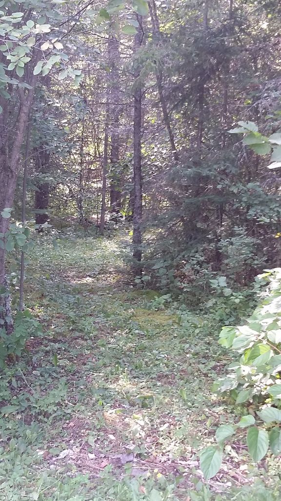
| Memorials | : | 0 |
| Location | : | Suomi, Thunder Bay District, Canada |
| Coordinate | : | 48.2365100, -89.9777300 |
| Description | : | 3761 Highway 588, keep right. 3 K Trail is approx. 300 yds towards Whitefish Lake. Located in Strange Township. First burial appears to be 1901. This cemetery is still being used. It has also been referred to as Wolf Siding Pertaining to the whistle stop on the old PD&W railroad.The cemetery is on private property and still owned and taken care of by the Karila family. |
frequently asked questions (FAQ):
-
Where is Karila Homestead Cemetery?
Karila Homestead Cemetery is located at Suomi, Thunder Bay District ,Ontario ,Canada.
-
Karila Homestead Cemetery cemetery's updated grave count on graveviews.com?
0 memorials
-
Where are the coordinates of the Karila Homestead Cemetery?
Latitude: 48.2365100
Longitude: -89.9777300
Nearby Cemetories:
1. Bessant- Walker Cemetery
Silver Mountain, Thunder Bay District, Canada
Coordinate: 48.2585700, -89.9175200
2. Nolalu Cemetery
Nolalu, Thunder Bay District, Canada
Coordinate: 48.2908500, -89.8228900
3. Leeper Cemetery
Thunder Bay District, Canada
Coordinate: 48.2645100, -89.7660300
4. Hymers Cemetery
Hymers, Thunder Bay District, Canada
Coordinate: 48.3044600, -89.7171000
5. O'Connor Free Methodist Cemetery
O'Connor, Thunder Bay District, Canada
Coordinate: 48.3254400, -89.7243100
6. Pinegrove Cemetery
Hymers, Thunder Bay District, Canada
Coordinate: 48.2944800, -89.6957700
7. Saint Pius V Roman Catholic Cemetery
Harstone, Thunder Bay District, Canada
Coordinate: 48.3488833, -89.6485000
8. O'Connor Cemetery
Kakabeka Falls, Thunder Bay District, Canada
Coordinate: 48.3983870, -89.6454010
9. Conmee Cemetery
Conmee, Thunder Bay District, Canada
Coordinate: 48.4164600, -89.6414100
10. Stanley Hill Cemetery
Thunder Bay, Thunder Bay District, Canada
Coordinate: 48.3807259, -89.5637894
11. Trinity Lutheran Cemetery
Scoble West, Thunder Bay District, Canada
Coordinate: 48.2749123, -89.5063777
12. Mineral Center Cemetery
Cook County, USA
Coordinate: 47.9477806, -89.7805634
13. Pagan Cemetery
Grand Portage, Cook County, USA
Coordinate: 47.9706001, -89.6932983
14. Sunset Cemetery
Grand Portage, Cook County, USA
Coordinate: 47.9653900, -89.6986200
15. Saint Benedicts Cemetery
Neebing, Thunder Bay District, Canada
Coordinate: 48.2738700, -89.4834700
16. Holy Rosary Cemetery
Grand Portage, Cook County, USA
Coordinate: 47.9661100, -89.6833300
17. Mount Rose Cemetery
Grand Portage, Cook County, USA
Coordinate: 47.9589070, -89.6939810
18. Sunshine-Finmark Cemetery
Sunshine, Thunder Bay District, Canada
Coordinate: 48.5574700, -89.6966700
19. St. James Cemetery
Murillo, Thunder Bay District, Canada
Coordinate: 48.4423083, -89.4955555
20. Old Settlers Cemetery
Hovland, Cook County, USA
Coordinate: 47.8452900, -89.9623000
21. Trinity Lutheran Cemetery
Hovland, Cook County, USA
Coordinate: 47.8459120, -90.0194410
22. Sunset Memorial Gardens
Thunder Bay, Thunder Bay District, Canada
Coordinate: 48.4140778, -89.4115219
23. Shaarey Shomayim Congregation Cemetery
Thunder Bay, Thunder Bay District, Canada
Coordinate: 48.3809800, -89.3424100
24. Ukrainian Catholic Cemetery
Thunder Bay, Thunder Bay District, Canada
Coordinate: 48.3809070, -89.3392300

