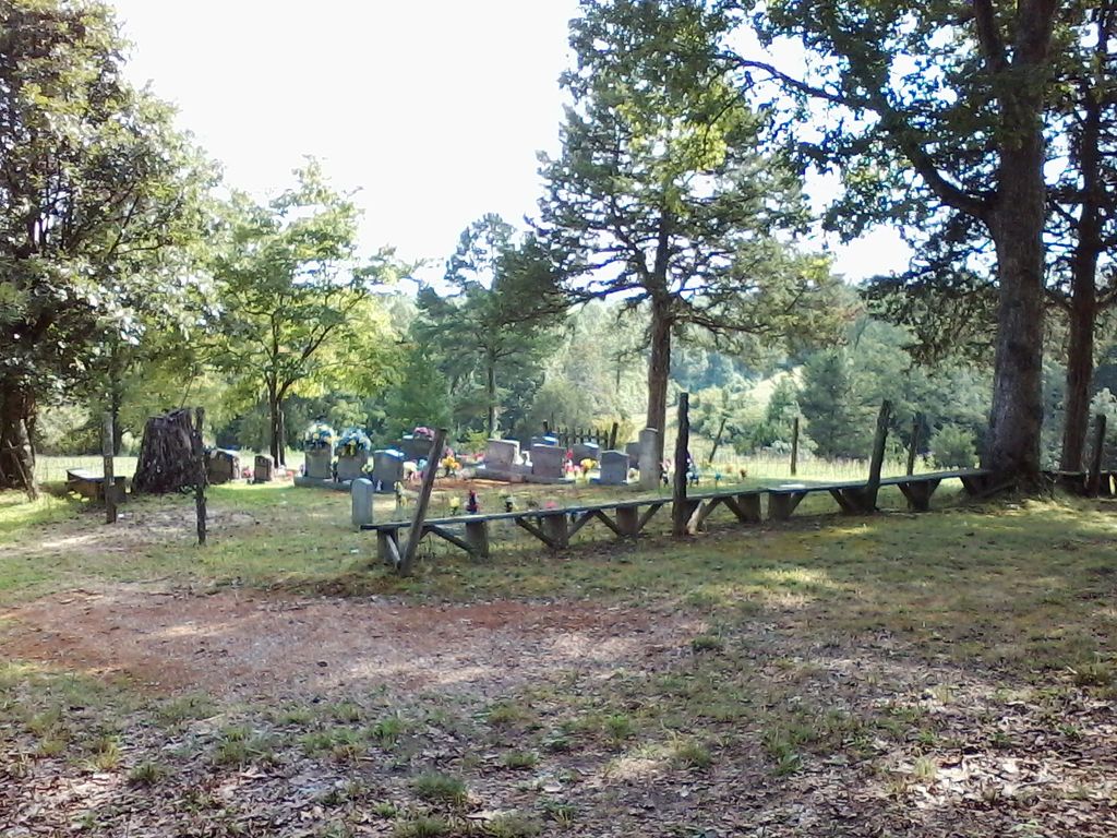
| Memorials | : | 0 |
| Location | : | McCreary County, USA |
| Coordinate | : | 36.7458240, -84.5659980 |
frequently asked questions (FAQ):
-
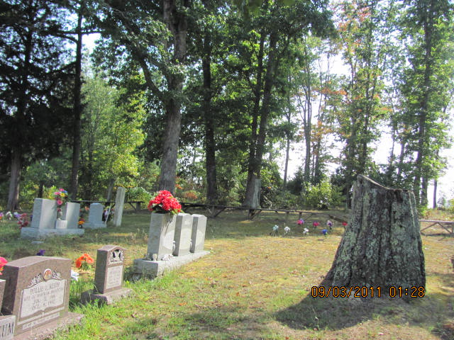
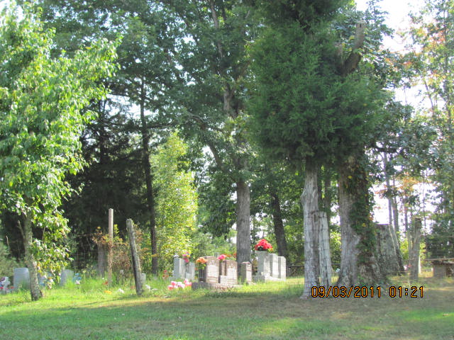
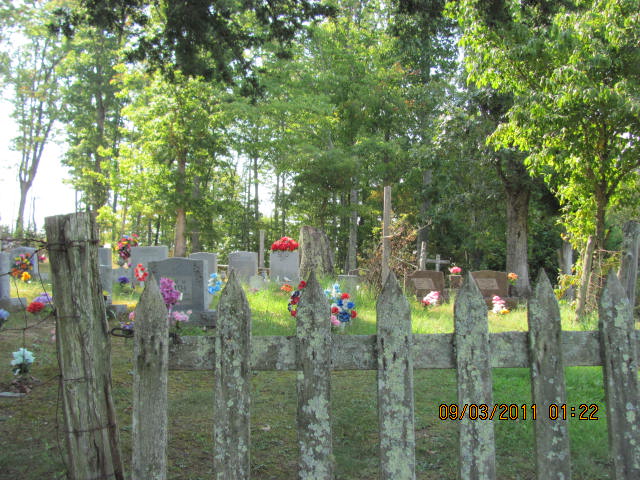
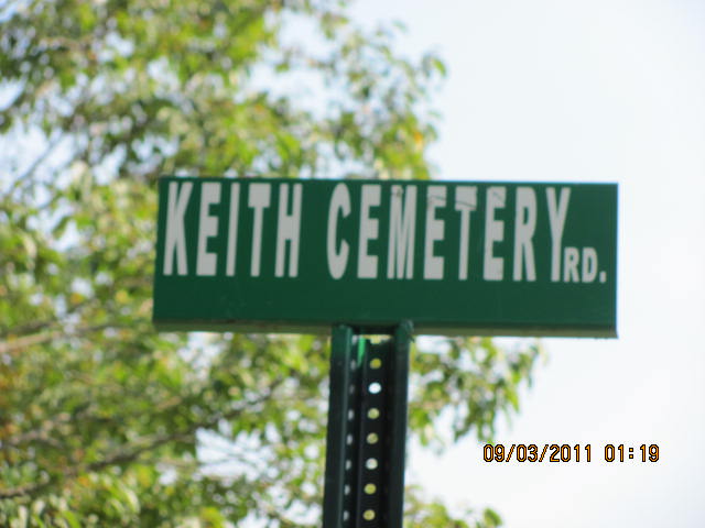
Where is Keith Cemetery?
Keith Cemetery is located at McCreary County ,Kentucky ,USA.
-
Keith Cemetery cemetery's updated grave count on graveviews.com?
0 memorials
-
Where are the coordinates of the Keith Cemetery?
Latitude: 36.7458240
Longitude: -84.5659980
Nearby Cemetories:
1. Coffey Cemetery
McCreary County, USA
Coordinate: 36.7414017, -84.5888977
2. Corder Cemetery
Hill Top, McCreary County, USA
Coordinate: 36.7503480, -84.5917470
3. Mountain View Cemetery
McCreary County, USA
Coordinate: 36.7175960, -84.5746640
4. Chitwood Cemetery
Smith Town, McCreary County, USA
Coordinate: 36.7184107, -84.5302171
5. Davis Cemetery
Marshes Siding, McCreary County, USA
Coordinate: 36.7868996, -84.5789032
6. Phillips Cemetery
McCreary County, USA
Coordinate: 36.7528000, -84.6232986
7. Carter Cemetery
McCreary County, USA
Coordinate: 36.7406006, -84.4985962
8. Dobbs Cemetery
McCreary County, USA
Coordinate: 36.7424413, -84.6362763
9. Cedar Grove Cemetery
Stearns, McCreary County, USA
Coordinate: 36.7657738, -84.6377258
10. Phillips Cemetery
McCreary County, USA
Coordinate: 36.6998100, -84.6165300
11. Nancy Grave Cemetery
McCreary County, USA
Coordinate: 36.6822014, -84.5535965
12. Ervin Jones Cemetery
McCreary County, USA
Coordinate: 36.7197001, -84.6427501
13. Maggie Gregory Cemetery
Slavans, McCreary County, USA
Coordinate: 36.7565500, -84.6501400
14. Bud Gregory Cemetery
McCreary County, USA
Coordinate: 36.7611008, -84.6508026
15. Holloway Cemetery
Marshes Siding, McCreary County, USA
Coordinate: 36.7372017, -84.4794006
16. Angel Cemetery
Stearns, McCreary County, USA
Coordinate: 36.6982100, -84.4912100
17. Bell Cemetery
Slavans, McCreary County, USA
Coordinate: 36.7541300, -84.6636900
18. Foster Cemetery
Stearns, McCreary County, USA
Coordinate: 36.7210999, -84.6631012
19. Flat Rock Cemetery
Flat Rock, McCreary County, USA
Coordinate: 36.7954800, -84.4838200
20. Wiborg Cemetery
Flat Rock, McCreary County, USA
Coordinate: 36.8006200, -84.4884200
21. Barren Fork Cemetery
McCreary County, USA
Coordinate: 36.7771988, -84.4692001
22. Taylor Ridge Cemetery
Marshes Siding, McCreary County, USA
Coordinate: 36.7509560, -84.4572150
23. Stearns Cemetery
Stearns, McCreary County, USA
Coordinate: 36.6922836, -84.4794998
24. Barr Cemetery
Barthell, McCreary County, USA
Coordinate: 36.6537270, -84.5618930

