
| Memorials | : | 169 |
| Location | : | Little Lever, Metropolitan Borough of Bolton, England |
| Coordinate | : | 53.5625122, -2.3716833 |
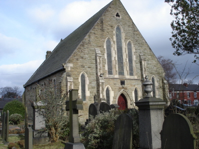
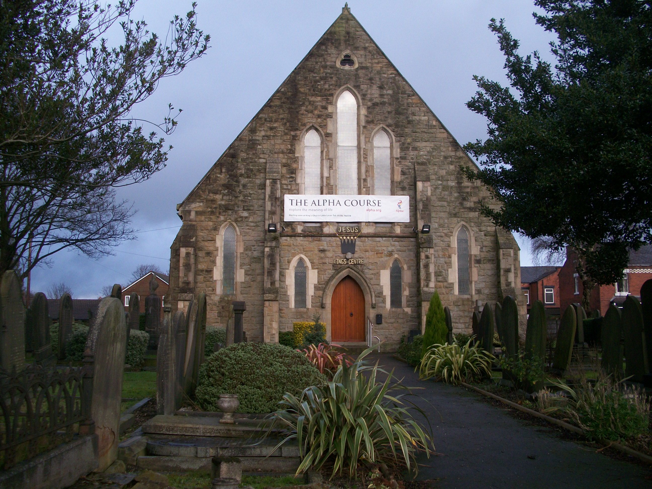
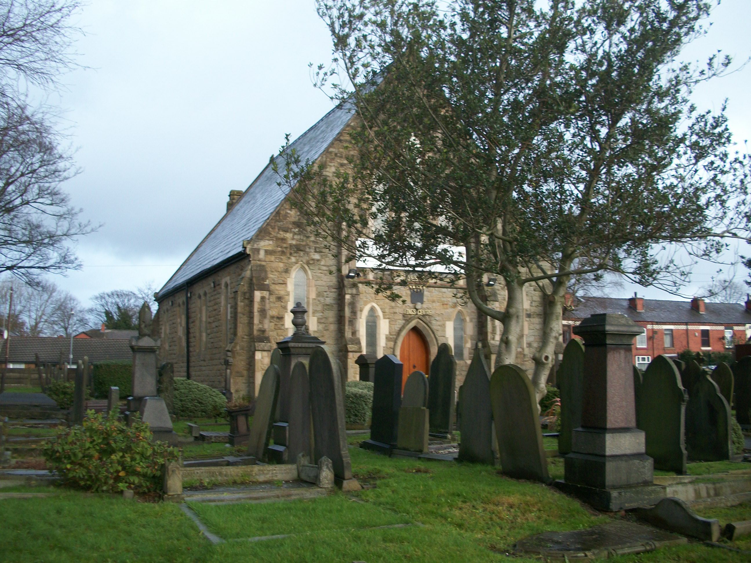
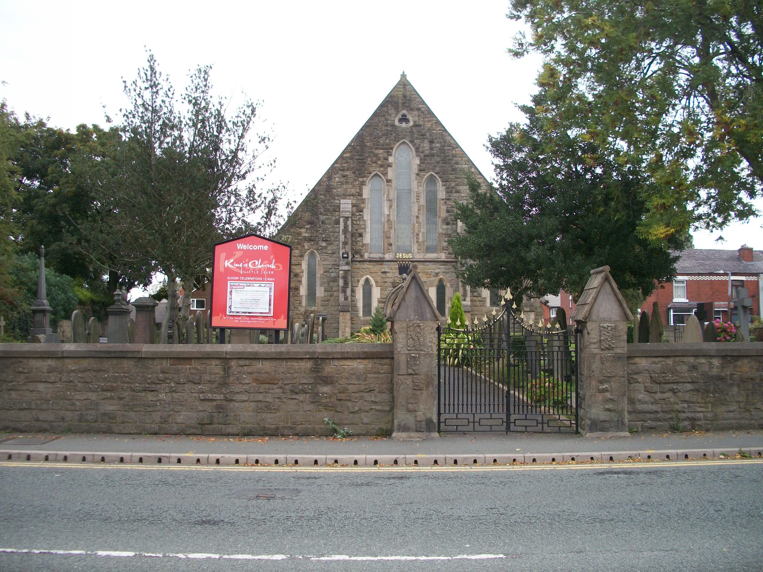
| Description | : | Previously Little Lever United Reformed Churchyard. Bought by King's Church 1982. |
frequently asked questions (FAQ):
-
Where is King's Church Chapelyard?
King's Church Chapelyard is located at Little Lever, Metropolitan Borough of Bolton ,Greater Manchester ,England.
-
King's Church Chapelyard cemetery's updated grave count on graveviews.com?
169 memorials
-
Where are the coordinates of the King's Church Chapelyard?
Latitude: 53.5625122
Longitude: -2.3716833
Nearby Cemetories:
1. St. Matthew Churchyard
Little Lever, Metropolitan Borough of Bolton, England
Coordinate: 53.5626144, -2.3732190
2. Christ Church Churchyard
Little Lever, Metropolitan Borough of Bolton, England
Coordinate: 53.5598101, -2.3692188
3. Farnworth Cemetery
Farnworth, Metropolitan Borough of Bolton, England
Coordinate: 53.5548590, -2.3843000
4. Market Street Congregational Churchyard
Farnworth, Metropolitan Borough of Bolton, England
Coordinate: 53.5475620, -2.3911703
5. St Saviour churchyard
Ringley, Metropolitan Borough of Bolton, England
Coordinate: 53.5439030, -2.3576830
6. New Jerusalem Church Churchyard
Kearsley, Metropolitan Borough of Bolton, England
Coordinate: 53.5435770, -2.3877380
7. Kearsley New Church Burial Ground
Farnworth, Metropolitan Borough of Bolton, England
Coordinate: 53.5435500, -2.3879200
8. St. Michael Churchyard
Great Lever, Metropolitan Borough of Bolton, England
Coordinate: 53.5603730, -2.4082370
9. St Stephen and All Martyrs Churchyard
Bolton, Metropolitan Borough of Bolton, England
Coordinate: 53.5722100, -2.4049800
10. St. Andrew's Churchyard
Radcliffe, Metropolitan Borough of Bury, England
Coordinate: 53.5740731, -2.3377989
11. St James Churchyard
Breightmet, Metropolitan Borough of Bolton, England
Coordinate: 53.5824000, -2.3922100
12. St John the Evangelist Churchyard
Farnworth, Metropolitan Borough of Bolton, England
Coordinate: 53.5491930, -2.4043350
13. St Stephen churchyard
Kearsley, Metropolitan Borough of Bolton, England
Coordinate: 53.5381650, -2.3717160
14. Ainsworth Methodist Churchyard
Ainsworth, Metropolitan Borough of Bury, England
Coordinate: 53.5877390, -2.3623810
15. Christ Church Churchyard
Ainsworth, Metropolitan Borough of Bury, England
Coordinate: 53.5875690, -2.3589540
16. Radcliffe Cemetery
Radcliffe, Metropolitan Borough of Bury, England
Coordinate: 53.5706240, -2.3294860
17. St. Thomas & St. John with St. Philip Churchyard
Radcliffe, Metropolitan Borough of Bury, England
Coordinate: 53.5625140, -2.3266770
18. Ainsworth Unitarian Chapel Cemetery
Metropolitan Borough of Bury, England
Coordinate: 53.5882700, -2.3590390
19. Tonge Cemetery
Bolton, Metropolitan Borough of Bolton, England
Coordinate: 53.5782250, -2.4097050
20. East Lancashire Crematorium
Radcliffe, Metropolitan Borough of Bury, England
Coordinate: 53.5726893, -2.3273050
21. St. John Parish Churchyard
Radcliffe, Metropolitan Borough of Bury, England
Coordinate: 53.5571400, -2.3206700
22. St James Churchyard
Farnworth, Metropolitan Borough of Bolton, England
Coordinate: 53.5423730, -2.4117570
23. Christ Church Churchyard
Harwood, Metropolitan Borough of Bolton, England
Coordinate: 53.5948860, -2.3821990
24. New Jerusalem Church Burial
Radcliffe, Metropolitan Borough of Bury, England
Coordinate: 53.5542680, -2.3174070