
| Memorials | : | 3422 |
| Location | : | Little Lever, Metropolitan Borough of Bolton, England |
| Coordinate | : | 53.5626144, -2.3732190 |
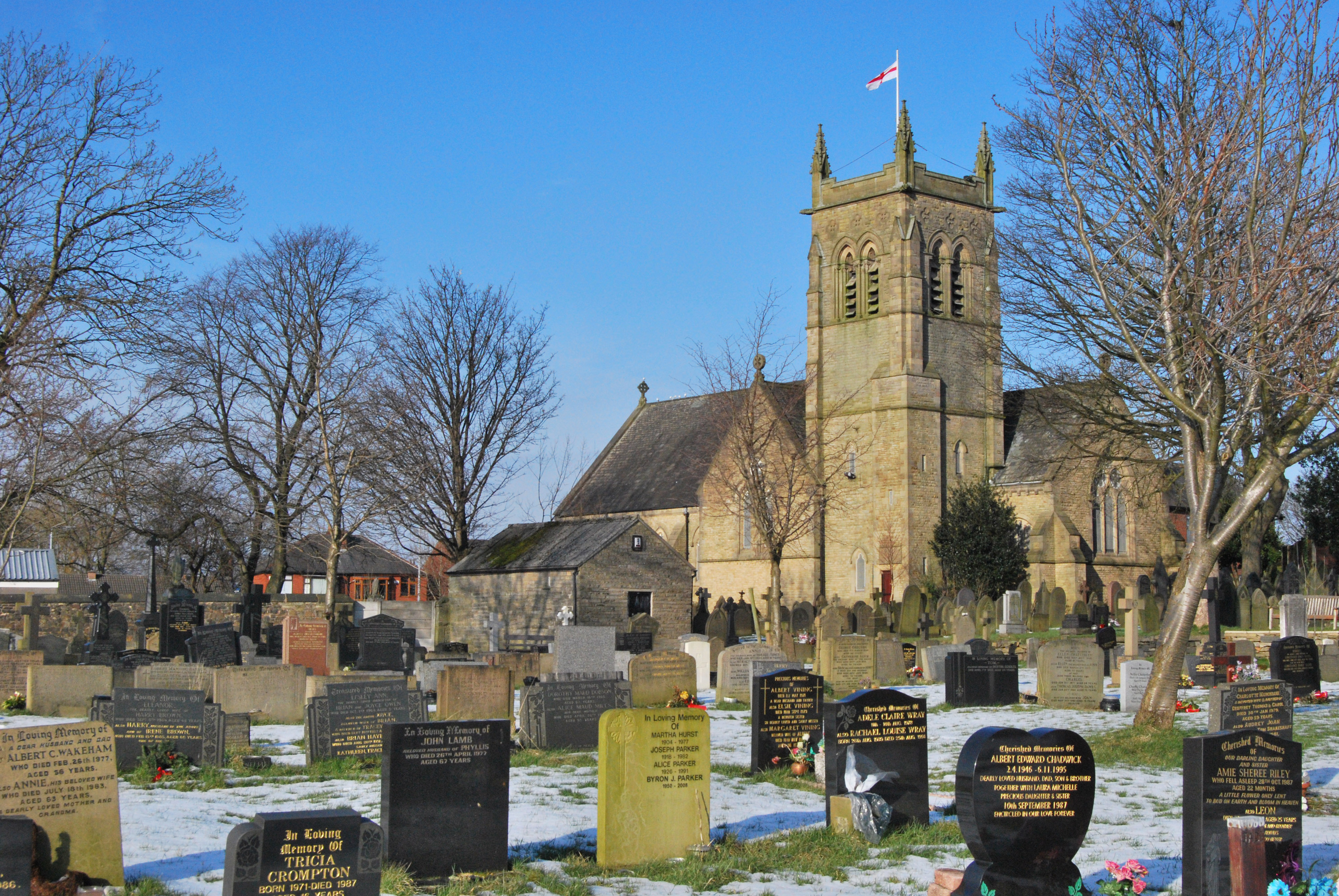
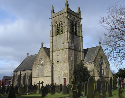
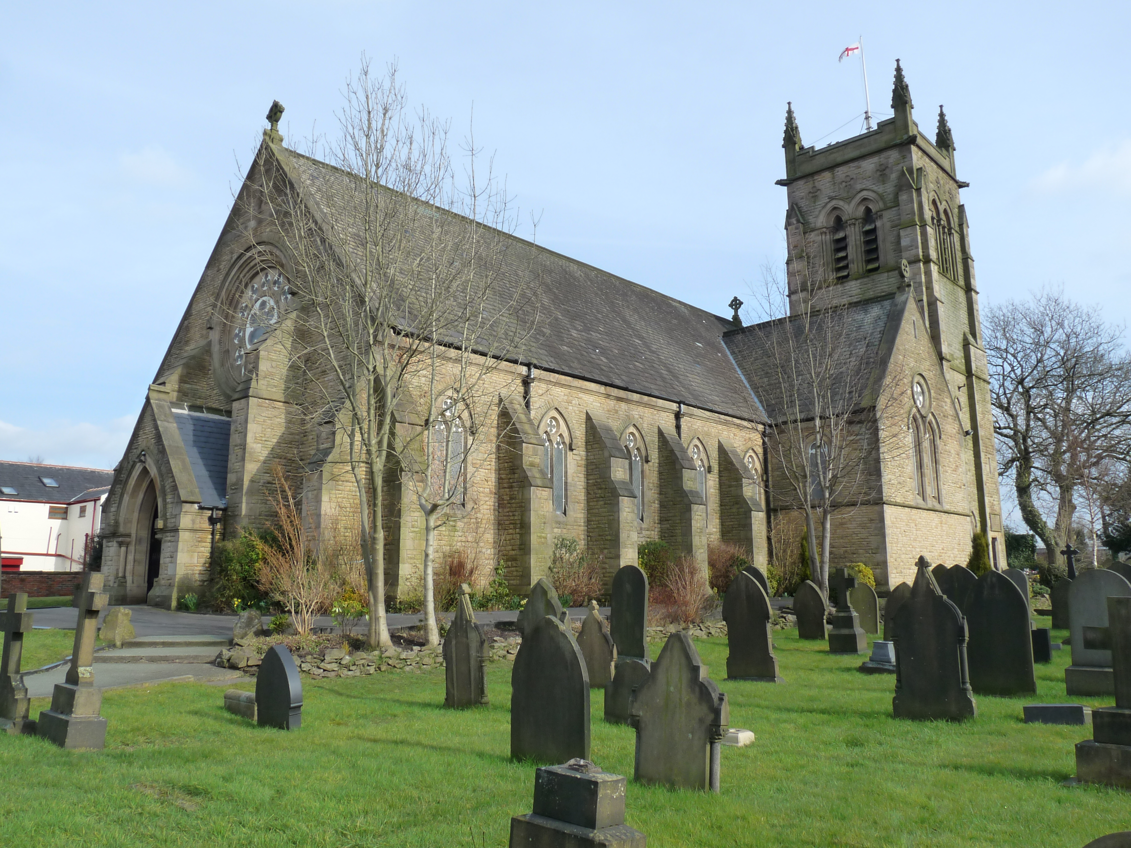
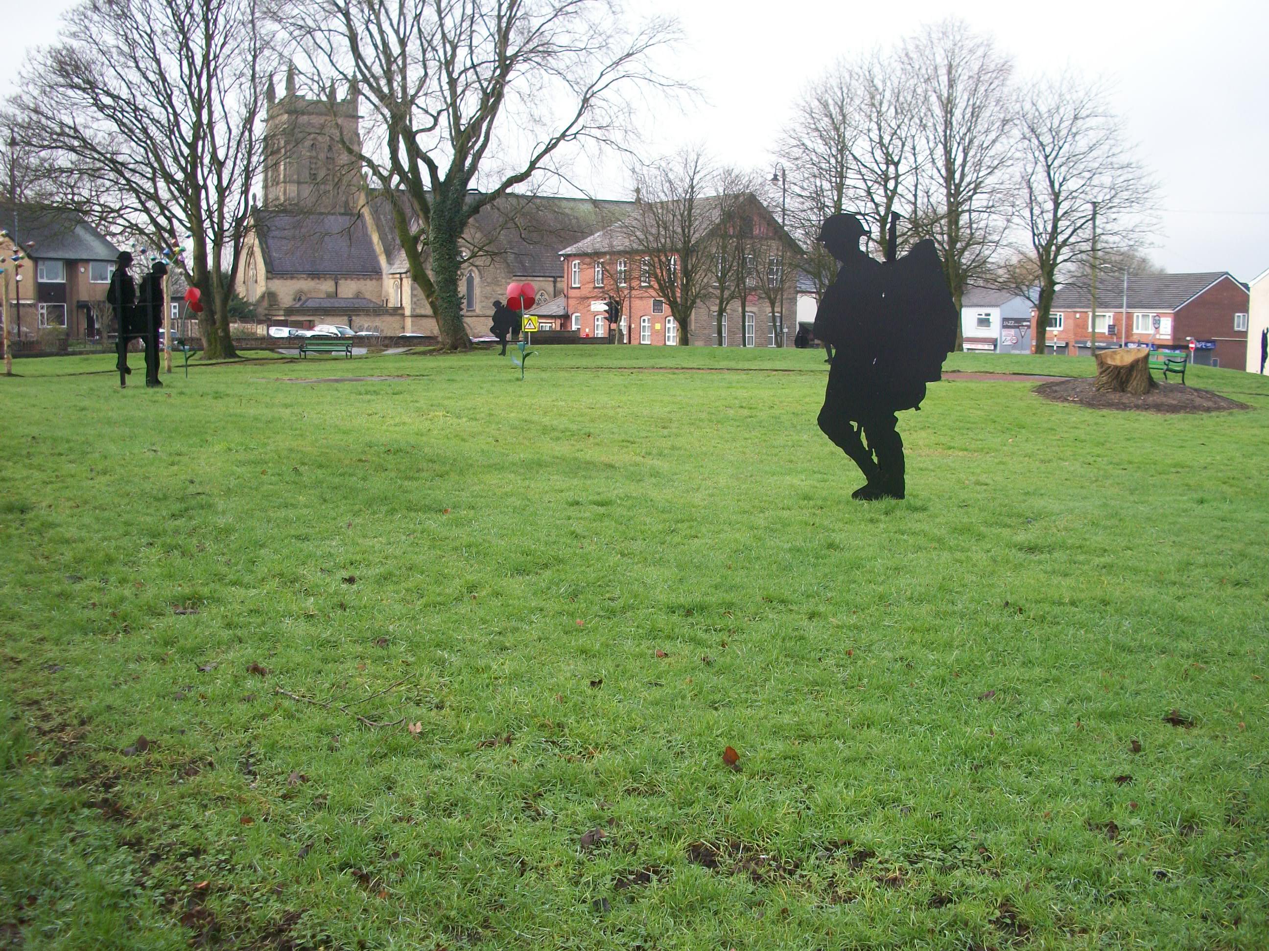
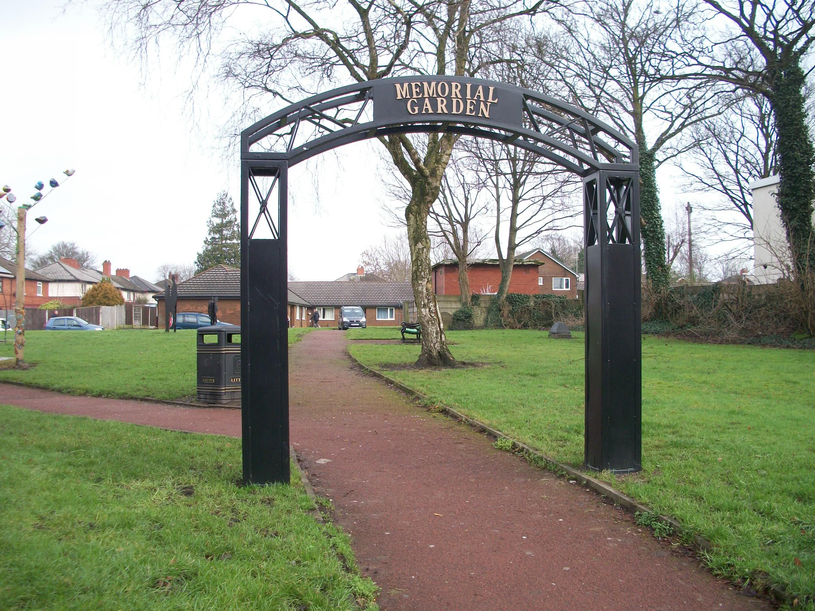
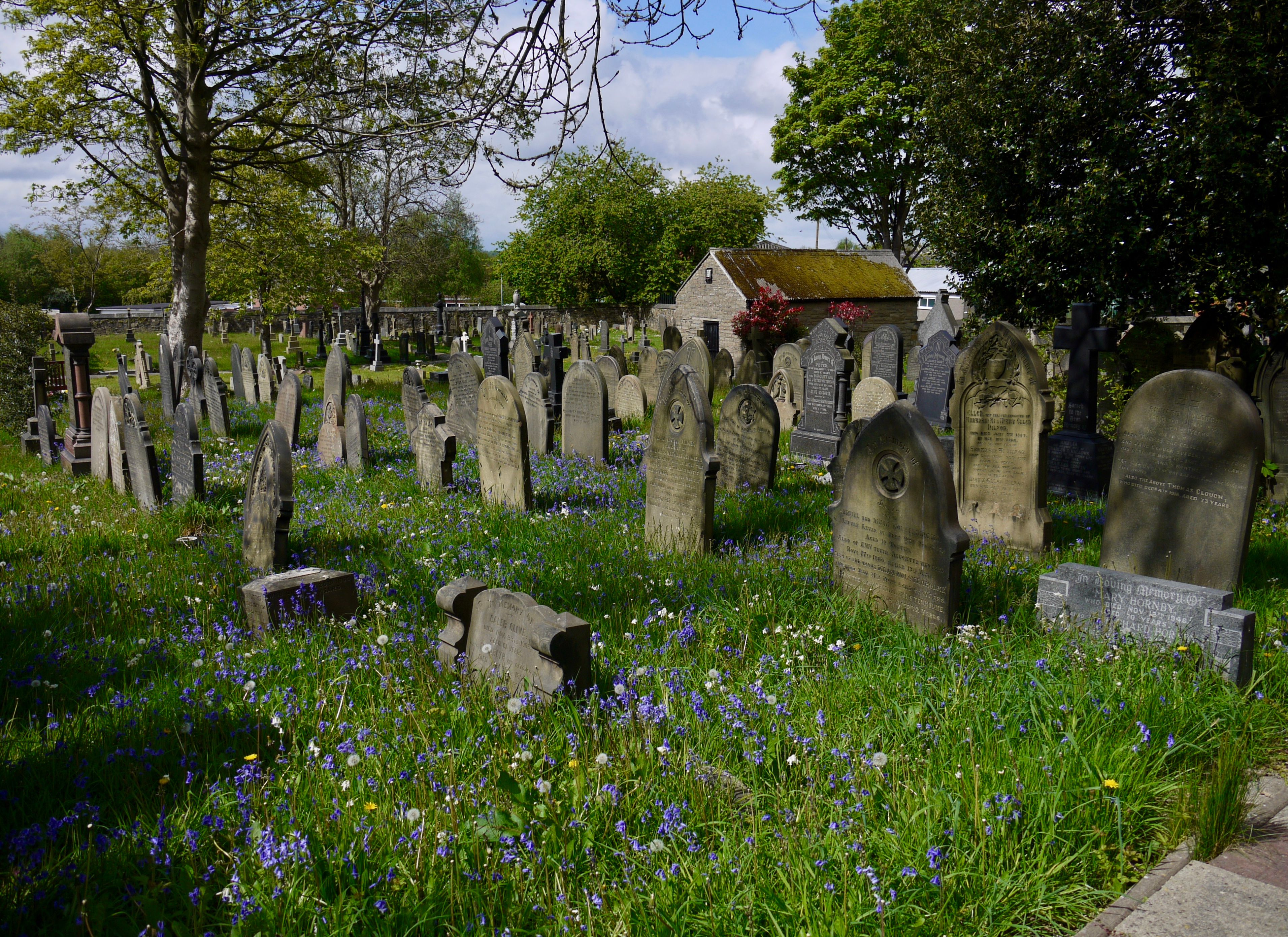
| Description | : | The Parish Church of St Matthew was built in 1865 to replace an earlier church built in 1791 on the other side of Market street. The original church graveyard was closed in the 19th Century. Most headstones were removed and the area of land is now a Memorial Garden for the Community to use. All early burials were on this land which is separated from the existing church by a road. Later burials are at the side of the church built in 1865. |
frequently asked questions (FAQ):
-
Where is St. Matthew Churchyard?
St. Matthew Churchyard is located at Market St Little Lever, Metropolitan Borough of Bolton ,Greater Manchester , BL3 1HHEngland.
-
St. Matthew Churchyard cemetery's updated grave count on graveviews.com?
3421 memorials
-
Where are the coordinates of the St. Matthew Churchyard?
Latitude: 53.5626144
Longitude: -2.3732190
Nearby Cemetories:
1. King's Church Chapelyard
Little Lever, Metropolitan Borough of Bolton, England
Coordinate: 53.5625122, -2.3716833
2. Christ Church Churchyard
Little Lever, Metropolitan Borough of Bolton, England
Coordinate: 53.5598101, -2.3692188
3. Farnworth Cemetery
Farnworth, Metropolitan Borough of Bolton, England
Coordinate: 53.5548590, -2.3843000
4. Market Street Congregational Churchyard
Farnworth, Metropolitan Borough of Bolton, England
Coordinate: 53.5475620, -2.3911703
5. St Saviour churchyard
Ringley, Metropolitan Borough of Bolton, England
Coordinate: 53.5439030, -2.3576830
6. New Jerusalem Church Churchyard
Kearsley, Metropolitan Borough of Bolton, England
Coordinate: 53.5435770, -2.3877380
7. St. Michael Churchyard
Great Lever, Metropolitan Borough of Bolton, England
Coordinate: 53.5603730, -2.4082370
8. Kearsley New Church Burial Ground
Farnworth, Metropolitan Borough of Bolton, England
Coordinate: 53.5435500, -2.3879200
9. St Stephen and All Martyrs Churchyard
Bolton, Metropolitan Borough of Bolton, England
Coordinate: 53.5722100, -2.4049800
10. St James Churchyard
Breightmet, Metropolitan Borough of Bolton, England
Coordinate: 53.5824000, -2.3922100
11. St John the Evangelist Churchyard
Farnworth, Metropolitan Borough of Bolton, England
Coordinate: 53.5491930, -2.4043350
12. St. Andrew's Churchyard
Radcliffe, Metropolitan Borough of Bury, England
Coordinate: 53.5740731, -2.3377989
13. St Stephen churchyard
Kearsley, Metropolitan Borough of Bolton, England
Coordinate: 53.5381650, -2.3717160
14. Ainsworth Methodist Churchyard
Ainsworth, Metropolitan Borough of Bury, England
Coordinate: 53.5877390, -2.3623810
15. Christ Church Churchyard
Ainsworth, Metropolitan Borough of Bury, England
Coordinate: 53.5875690, -2.3589540
16. Tonge Cemetery
Bolton, Metropolitan Borough of Bolton, England
Coordinate: 53.5782250, -2.4097050
17. Ainsworth Unitarian Chapel Cemetery
Metropolitan Borough of Bury, England
Coordinate: 53.5882700, -2.3590390
18. Radcliffe Cemetery
Radcliffe, Metropolitan Borough of Bury, England
Coordinate: 53.5706240, -2.3294860
19. St. Thomas & St. John with St. Philip Churchyard
Radcliffe, Metropolitan Borough of Bury, England
Coordinate: 53.5625140, -2.3266770
20. East Lancashire Crematorium
Radcliffe, Metropolitan Borough of Bury, England
Coordinate: 53.5726893, -2.3273050
21. St James Churchyard
Farnworth, Metropolitan Borough of Bolton, England
Coordinate: 53.5423730, -2.4117570
22. St. John Parish Churchyard
Radcliffe, Metropolitan Borough of Bury, England
Coordinate: 53.5571400, -2.3206700
23. Christ Church Churchyard
Harwood, Metropolitan Borough of Bolton, England
Coordinate: 53.5948860, -2.3821990
24. Holy Trinity Churchyard
Bolton, Metropolitan Borough of Bolton, England
Coordinate: 53.5738021, -2.4267218