
| Memorials | : | 0 |
| Location | : | Butler County, USA |
| Coordinate | : | 31.9263992, -86.4569016 |
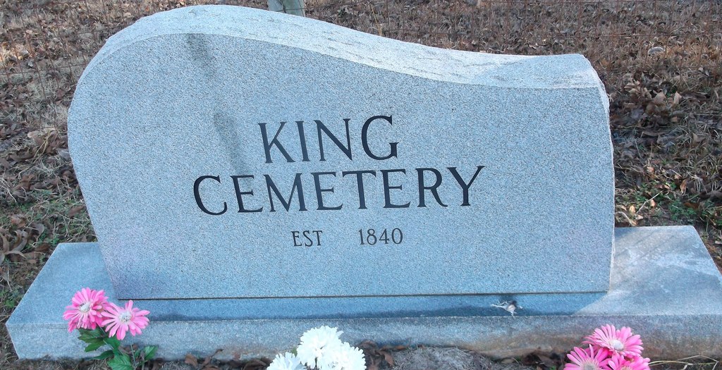
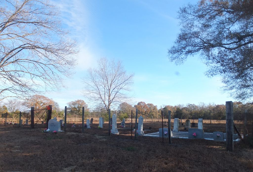
| Description | : | The cemetery is located in the NE corner of Butler County. Hwy. 62 just north of Spring Creek Church and Hwy. 56. -- John King established the King Cemetery about 1840, when he came to Butler County from Dallas County and Lowndes County. Both he and his wife Mary Day (daughter of Frederick and Nancy Day) are buried there with many other relatives. They married June 22, 1824 in Dallas County (Dallas Co. Marriage Book 1, page 60), and were counted in the 1830 Dallas County census. John King bought land in Butler County in 1836 and Lowndes County in... Read More |
frequently asked questions (FAQ):
-
Where is King Cemetery?
King Cemetery is located at east side of County Road 62 (Steiner Store Road), just north of Spring Creek Church Road. Butler County ,Alabama ,USA.
-
King Cemetery cemetery's updated grave count on graveviews.com?
0 memorials
-
Where are the coordinates of the King Cemetery?
Latitude: 31.9263992
Longitude: -86.4569016

Nearby Cemetories:
1. Spring Creek Cemetery
Butler County, USA
Coordinate: 31.9200001, -86.4496994
2. Bethel Methodist Church Cemetery
Butler County, USA
Coordinate: 31.9505997, -86.4669037
3. Oak Bowery Cemetery
Butler County, USA
Coordinate: 31.9207993, -86.4950027
4. Danielville Baptist Church Cemetery
Danielsville, Crenshaw County, USA
Coordinate: 31.9205380, -86.4070410
5. Perdue Cemetery
Butler County, USA
Coordinate: 31.8824997, -86.4839020
6. Oak Grove Cemetery
Honoraville, Crenshaw County, USA
Coordinate: 31.8761005, -86.4396973
7. Hopewell Cemetery
Honoraville, Crenshaw County, USA
Coordinate: 31.8778000, -86.4336014
8. Cool Spring Primitive Baptist Church Cemetery
Panola, Crenshaw County, USA
Coordinate: 31.9489590, -86.4003960
9. Flatwoods Church of Christ Cemetery
Lowndes County, USA
Coordinate: 31.9795590, -86.4306020
10. Dry Cemetery
Crenshaw County, USA
Coordinate: 31.8924999, -86.3974991
11. Panola Cemetery
Panola, Crenshaw County, USA
Coordinate: 31.9633007, -86.3957977
12. Little Sandy Ridge Cemetery
Fort Deposit, Lowndes County, USA
Coordinate: 31.9713750, -86.5103550
13. Salem Church Of Christ Cemetery
Danielsville, Crenshaw County, USA
Coordinate: 31.9040390, -86.3783710
14. Summer Hill Cemetery
Lowndes County, USA
Coordinate: 31.9792004, -86.5175018
15. Indian Hill A.M.E. Zion Church Cemetery
Butler County, USA
Coordinate: 31.9130200, -86.5479360
16. Springhill Methodist Cemetery
Butler County, USA
Coordinate: 31.8980999, -86.5441971
17. Union Baptist Church Cemetery
Honoraville, Crenshaw County, USA
Coordinate: 31.8514510, -86.4071340
18. New Ebeneezer Baptist Church Cemetery
Highland Home, Crenshaw County, USA
Coordinate: 31.9242001, -86.3535995
19. Routon & Kirkpatrick Graveyard
Honoraville, Crenshaw County, USA
Coordinate: 31.8351600, -86.4361400
20. Andress Cemetery
Greenville, Butler County, USA
Coordinate: 31.8414001, -86.5033035
21. Payne Cemetery
Lowndes County, USA
Coordinate: 32.0210991, -86.4516983
22. Daniel Family Cemetery
Saville, Crenshaw County, USA
Coordinate: 31.8650520, -86.3637050
23. Berea Church of Christ Cemetery
Panola, Crenshaw County, USA
Coordinate: 31.9643993, -86.3435974
24. Sawyer Cemetery
Lowndes County, USA
Coordinate: 32.0303001, -86.4477997