
| Memorials | : | 0 |
| Location | : | Little Axe, Cleveland County, USA |
| Website | : | sites.google.com/site/knolescemeteryclevelandco/ |
| Coordinate | : | 35.2756000, -97.1602900 |
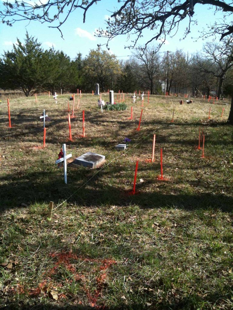
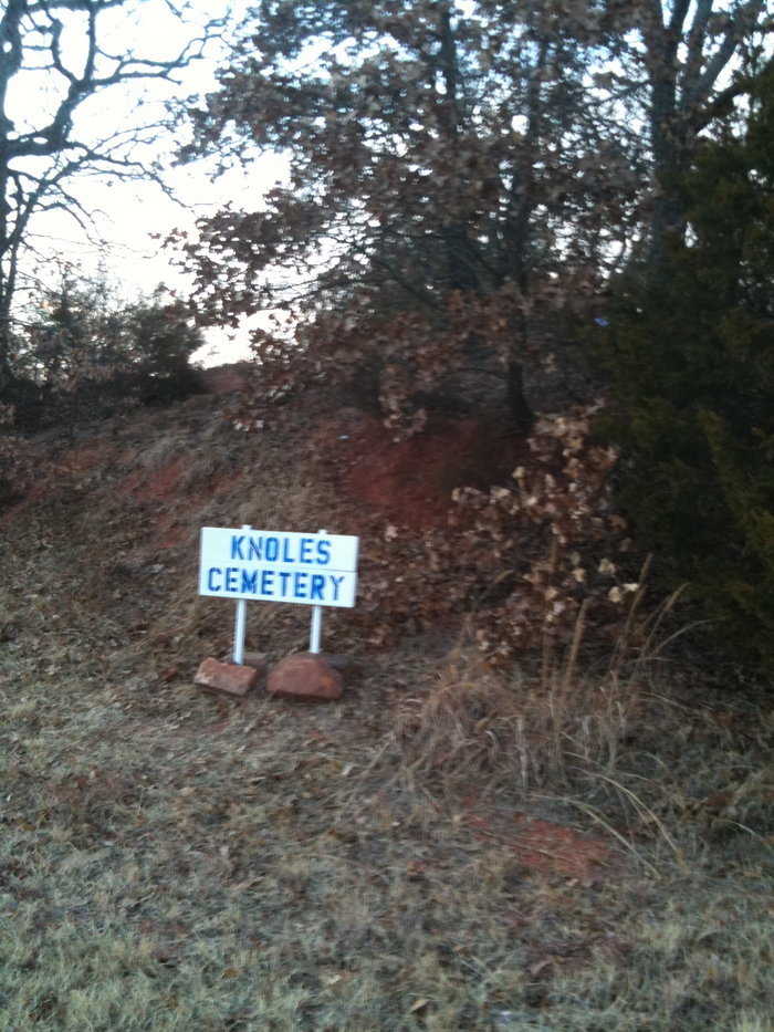
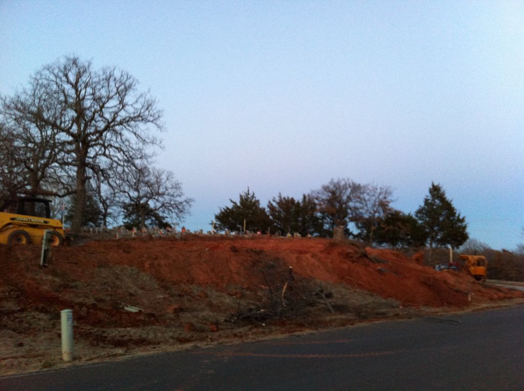
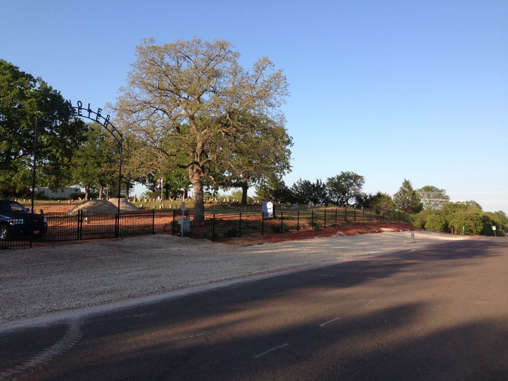
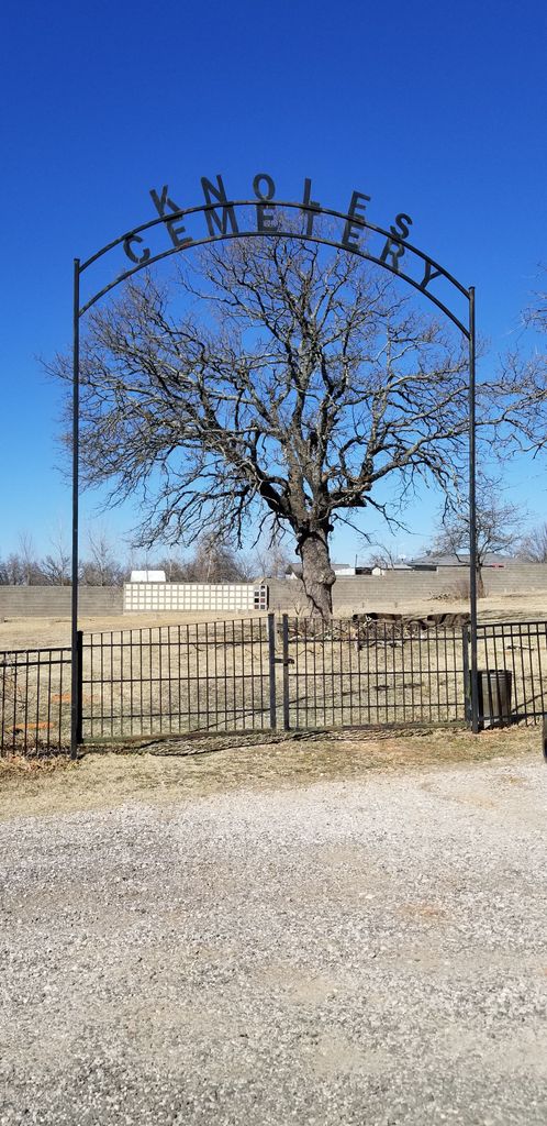
| Description | : | Knoles Cemetery is a 1 acre cemetery, located on Franklin Road, 1/10th mile west of Harrah-Newalla Road. Established around 1889, Knoles Cemetery was first known as Pleasant Ridge Cemetery. The first documented grave is July of 1890. Irvin Farnworth and Horace Flint started a Seventh Day Baptist/Adventist Church and School attached to the cemetery in 1894. The town center of Linden was one mile to the north. In 1917 the cemetery was renamed Knoles after Martin VanBuren Knoles who patented the 160 acres in 1903 that by accident contained the cemetery, school, church and town center of Linden.... Read More |
frequently asked questions (FAQ):
-
Where is Knoles Cemetery?
Knoles Cemetery is located at Little Axe, Cleveland County ,Oklahoma , 74857USA.
-
Knoles Cemetery cemetery's updated grave count on graveviews.com?
0 memorials
-
Where are the coordinates of the Knoles Cemetery?
Latitude: 35.2756000
Longitude: -97.1602900
Nearby Cemetories:
1. Little Jim Family Cemetery
Little Axe, Cleveland County, USA
Coordinate: 35.2876140, -97.1999930
2. Blanchard Family Cemetery
Little Axe, Cleveland County, USA
Coordinate: 35.2815400, -97.2123500
3. Black Cemetery
Pink, Pottawatomie County, USA
Coordinate: 35.2752991, -97.1069031
4. Absentee Shawnee Tribal Cemetery
Pottawatomie County, USA
Coordinate: 35.2461000, -97.1204000
5. Little Axe Family Cemetery
Cleveland County, USA
Coordinate: 35.2403000, -97.1965000
6. Watson Family Cemetery
Pink, Pottawatomie County, USA
Coordinate: 35.2425700, -97.1158800
7. Neash Family Cemetery
Little Axe, Cleveland County, USA
Coordinate: 35.2374900, -97.2005100
8. Little Axe Tribal Cemetery
Little Axe, Cleveland County, USA
Coordinate: 35.2458000, -97.2120000
9. Little Charley Family Cemetery
Norman, Cleveland County, USA
Coordinate: 35.2467410, -97.2164730
10. Stella Cemetery
Norman, Cleveland County, USA
Coordinate: 35.3153000, -97.2118988
11. Tiger Family Cemetery
Little Axe, Cleveland County, USA
Coordinate: 35.2326150, -97.2125240
12. Ray Cemetery
Pottawatomie County, USA
Coordinate: 35.3182600, -97.1075600
13. Brown Family Cemetery
Shawnee, Pottawatomie County, USA
Coordinate: 35.3039200, -97.0813800
14. Mack Family Cemetery
Pottawatomie County, USA
Coordinate: 35.2327000, -97.0892000
15. Plantz Family Cemetery
Bethel Acres, Pottawatomie County, USA
Coordinate: 35.2752650, -97.0711610
16. Brown Cemetery
Bethel Acres, Pottawatomie County, USA
Coordinate: 35.2613983, -97.0627975
17. Paradise Vista Cemetery
Oklahoma City, Oklahoma County, USA
Coordinate: 35.3523100, -97.1982600
18. Friendship Cemetery
Cleveland County, USA
Coordinate: 35.3575562, -97.1932983
19. Pilgrims Rest Cemetery
Stella, Cleveland County, USA
Coordinate: 35.3714500, -97.1593100
20. Mount Zion Cemetery
Pottawatomie County, USA
Coordinate: 35.2174260, -97.0636430
21. Bowman Family Farm Cemetery
Macomb, Pottawatomie County, USA
Coordinate: 35.1746000, -97.1327000
22. Highland Cemetery
Pink, Pottawatomie County, USA
Coordinate: 35.2178001, -97.0539017
23. Hopewell Cemetery
Bethel Acres, Pottawatomie County, USA
Coordinate: 35.3041100, -97.0275400
24. Bethel United Methodist Church Cemetery
Bethel Acres, Pottawatomie County, USA
Coordinate: 35.3050500, -97.0275300