
| Memorials | : | 0 |
| Location | : | Barton, Washington County, USA |
| Coordinate | : | 43.4379200, -88.1732500 |
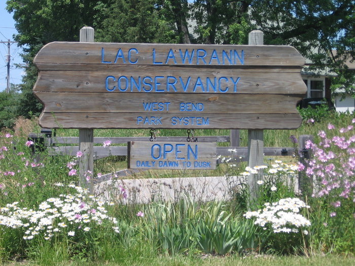
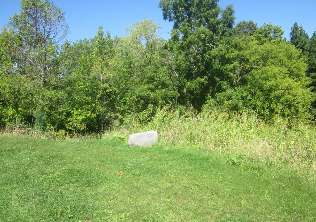
| Description | : | Lac Lawrann Conservancy is named after Lawrence and Ann Maurin. The couple purchased a former dump site in the town of Barton in 1955 and spent a quarter-century rehabilitating the land. The Maurins later turned this land over to Washington County. The conservancy is more than 100 acres. At the entrance to the conservancy grounds is the Maurin Center. In a small clearing to the right, there is a tombstone for Lawrence and Ann Maurin at the site where their ashes have been scattered. |
frequently asked questions (FAQ):
-
Where is Lac Lawrann Conservancy?
Lac Lawrann Conservancy is located at 300 Schmidt Road Barton, Washington County ,Wisconsin ,USA.
-
Lac Lawrann Conservancy cemetery's updated grave count on graveviews.com?
0 memorials
-
Where are the coordinates of the Lac Lawrann Conservancy?
Latitude: 43.4379200
Longitude: -88.1732500
Nearby Cemetories:
1. Washington County Hospital Cemetery
West Bend, Washington County, USA
Coordinate: 43.4307330, -88.1711730
2. Saint Marys Cemetery
West Bend, Washington County, USA
Coordinate: 43.4444771, -88.1896362
3. Saint James Episcopal Church Columbarium
West Bend, Washington County, USA
Coordinate: 43.4223600, -88.1866200
4. Union Cemetery
West Bend, Washington County, USA
Coordinate: 43.4225006, -88.1896973
5. Old Saint Marys Cemetery
West Bend, Washington County, USA
Coordinate: 43.4524994, -88.1917038
6. Pilgrims Rest Cemetery
West Bend, Washington County, USA
Coordinate: 43.4196400, -88.1921300
7. Newark Cemetery
Young America, Washington County, USA
Coordinate: 43.4564018, -88.1919022
8. Holy Angels Cemetery
West Bend, Washington County, USA
Coordinate: 43.4127159, -88.1784668
9. Trenton Cemetery
Barton, Washington County, USA
Coordinate: 43.4481010, -88.1402969
10. Saint Marys Cemetery New
West Bend, Washington County, USA
Coordinate: 43.4663000, -88.1618700
11. Lizard Mound County Park
Barton, Washington County, USA
Coordinate: 43.4628868, -88.1385040
12. Washington County Memorial Park
West Bend, Washington County, USA
Coordinate: 43.3998200, -88.2028800
13. Union Cemetery
West Bend, Washington County, USA
Coordinate: 43.3828800, -88.1809100
14. Farmington Cemetery
Orchard Grove, Washington County, USA
Coordinate: 43.4984880, -88.1402850
15. Saint Peters Catholic Cemetery
Cheeseville, Washington County, USA
Coordinate: 43.4549130, -88.0864050
16. Cedar Community Memorial Garden
West Bend, Washington County, USA
Coordinate: 43.3944500, -88.2410500
17. Saint Pauls Evangelical Lutheran Cemetery
West Bend, Washington County, USA
Coordinate: 43.3871640, -88.2409970
18. Kopp Cemetery
West Bend, Washington County, USA
Coordinate: 43.4528400, -88.2713100
19. Saint Matthias Catholic Cemetery
Nabob, Washington County, USA
Coordinate: 43.4201700, -88.2713200
20. Saint Michaels Cemetery
Kewaskum, Washington County, USA
Coordinate: 43.5117800, -88.1608800
21. Saint Peters Evangelical Lutheran Church Cemetery
Kohlsville, Washington County, USA
Coordinate: 43.4540800, -88.2835300
22. Lutheran Memorial Park
Kewaskum, Washington County, USA
Coordinate: 43.5135300, -88.2252300
23. Albright United Brethren Cemetery
Kohlsville, Washington County, USA
Coordinate: 43.4724800, -88.2820100
24. Kewaskum Union Cemetery
Kewaskum, Washington County, USA
Coordinate: 43.4975014, -88.2617035