
| Memorials | : | 1 |
| Location | : | Madison County, USA |
| Coordinate | : | 35.6768990, -88.9891968 |
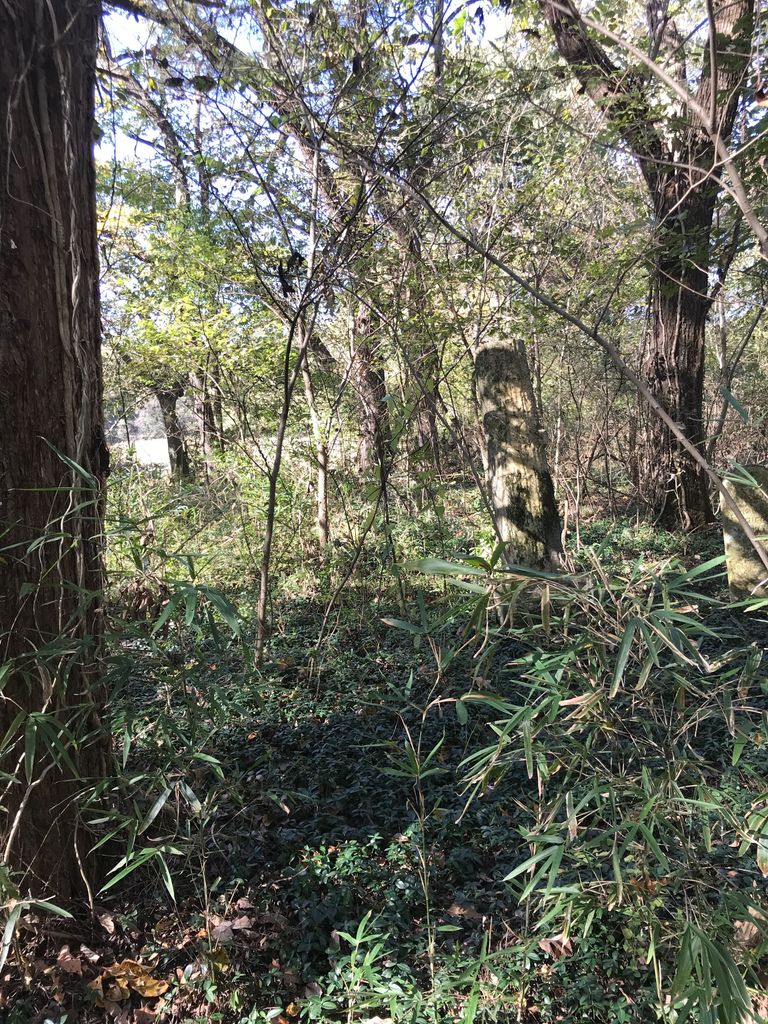
| Description | : | Lacy Cemetery is located off Edd Woods Road in western Madison County. Turn south on Ed Woods Road from Highway 412. Ed Woods Road runs south about 0.3 mile, then turns west and runs about 0.4 mile, before making a turn south and then a second turn west. The access drive is 0.8 mile from Highway 412 between the turn to the south and the second turn to the west. The access drive runs west along the northern edge of a field, then turns north and runs up the small hill. In 2004 the last 30 yards of the access... Read More |
frequently asked questions (FAQ):
-
Where is Lacy Cemetery?
Lacy Cemetery is located at 461 Ed Woods Rd Madison County ,Tennessee , 38006USA.
-
Lacy Cemetery cemetery's updated grave count on graveviews.com?
1 memorials
-
Where are the coordinates of the Lacy Cemetery?
Latitude: 35.6768990
Longitude: -88.9891968
Nearby Cemetories:
1. Lawrence Cemetery
Roberts, Madison County, USA
Coordinate: 35.6763992, -88.9777985
2. Poplar Corner Cemetery
Jackson, Madison County, USA
Coordinate: 35.6867900, -88.9702400
3. McLemore Cemetery
Jackson, Madison County, USA
Coordinate: 35.6820180, -88.9639510
4. Bethlehem M.B. Church Cemetery #2
Jackson, Madison County, USA
Coordinate: 35.6456740, -88.9942610
5. Saint John Baptist Church Cemetery #1
Adair, Madison County, USA
Coordinate: 35.7003600, -88.9573950
6. McClellan Cemetery
Madison County, USA
Coordinate: 35.6860080, -88.9443860
7. Brooks Cemetery
Jackson, Madison County, USA
Coordinate: 35.7054690, -88.9587260
8. Luckenbill Cemetery
Bells, Crockett County, USA
Coordinate: 35.6970060, -89.0337550
9. Epperson Cemetery
Jackson, Madison County, USA
Coordinate: 35.7042010, -88.9471890
10. Pearson Cemetery
Fruitvale, Crockett County, USA
Coordinate: 35.7273290, -88.9999170
11. Williams Cemetery
Walnut Hill, Crockett County, USA
Coordinate: 35.7017820, -89.0458510
12. Boykin Cemetery
Gum Flat, Crockett County, USA
Coordinate: 35.7293480, -88.9843100
13. Vann Plantation Cemetery
Jackson, Madison County, USA
Coordinate: 35.6729940, -88.9232230
14. Walnut Hill Baptist Church Cemetery
Walnut Hill, Crockett County, USA
Coordinate: 35.7051520, -89.0506010
15. Lane Chapel Church Cemetery
Jackson, Madison County, USA
Coordinate: 35.6140870, -88.9930280
16. Nathaniel Williams Cemetery
Fruitvale, Crockett County, USA
Coordinate: 35.7381460, -89.0115400
17. Brigance Cemetery
Crockett Mills, Crockett County, USA
Coordinate: 35.7006550, -89.0634410
18. Andrews Chapel United Methodist Church Cemetery
Huntersville, Madison County, USA
Coordinate: 35.6128500, -88.9742900
19. Walnut Grove Baptist Church Cemetery
Jackson, Madison County, USA
Coordinate: 35.6301010, -88.9318230
20. Matthews Cemetery
Madison County, USA
Coordinate: 35.6913986, -88.9092026
21. Shivers Cemetery
Gadsden, Crockett County, USA
Coordinate: 35.7364750, -88.9496390
22. Deliverance House of Prayer Memorial Gardens
Denmark, Madison County, USA
Coordinate: 35.6092790, -88.9939760
23. Ararat Baptist Church Cemetery
Huntersville, Madison County, USA
Coordinate: 35.6117590, -88.9658580
24. Providence Cemetery
Providence, Madison County, USA
Coordinate: 35.6497340, -89.0665320