| Memorials | : | 0 |
| Location | : | Jackson, Madison County, USA |
| Coordinate | : | 35.6301010, -88.9318230 |
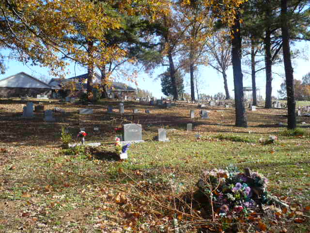
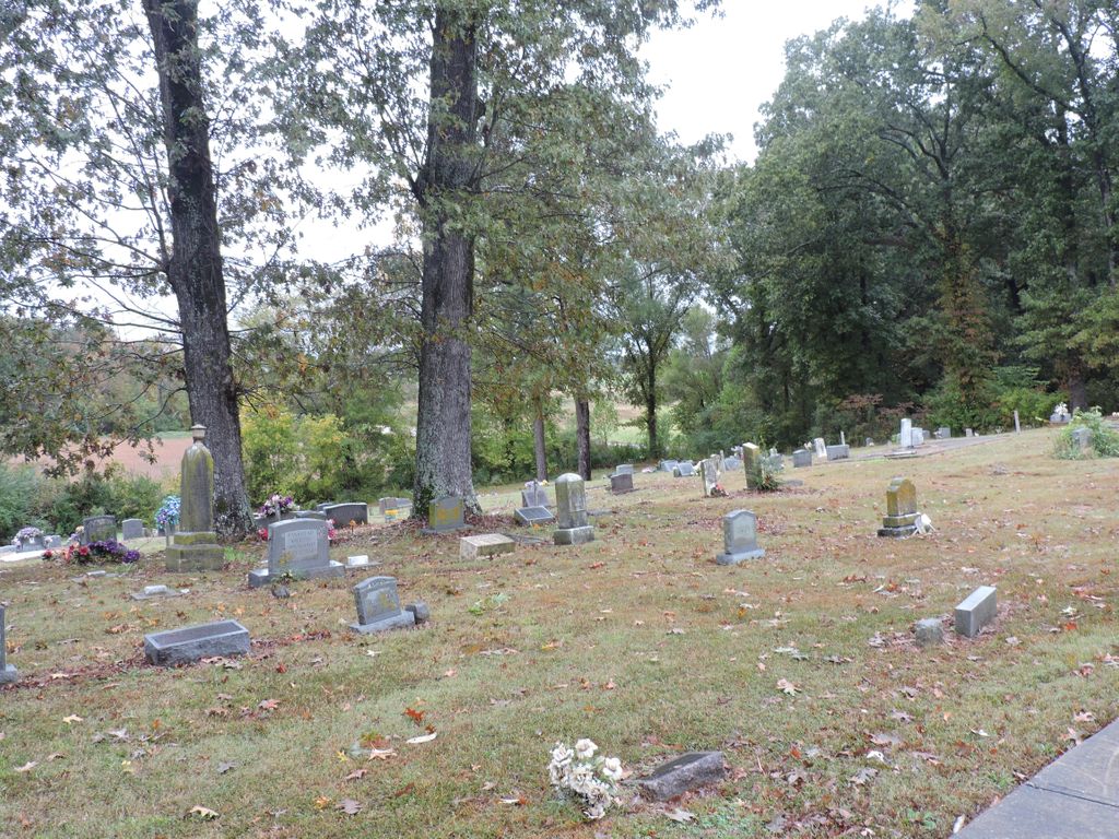
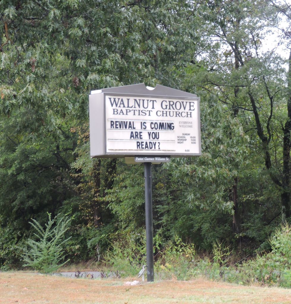
| Description | : | Located about 4½ miles west of Jackson on Lower Brownsville Road, about ½ mile east of the I-40/Lower Brownsville Road interchange. The church and cemetery are situated on the south side of Lower Brownsville Road. David Donahue recorded this cemetery on July 26, 2003 based on earlier work by Jonathan K. T. Smith. Mr. Smith's 1995 record appears in his Tombstone Inscriptions from Black Cemeteries in Madison County, Tennessee and a 2000 update appears in his Tombstone Inscriptions from Black Cemeteries in Madison County, Tennessee, Volume 2. |
frequently asked questions (FAQ):
-
Where is Walnut Grove Baptist Church Cemetery?
Walnut Grove Baptist Church Cemetery is located at 1200 Lower Brownsville Road Jackson, Madison County ,Tennessee ,USA.
-
Walnut Grove Baptist Church Cemetery cemetery's updated grave count on graveviews.com?
0 memorials
-
Where are the coordinates of the Walnut Grove Baptist Church Cemetery?
Latitude: 35.6301010
Longitude: -88.9318230
Nearby Cemetories:
1. Freeman Family Cemetery
Jackson, Madison County, USA
Coordinate: 35.6171400, -88.9319300
2. Ararat Baptist Church Cemetery
Huntersville, Madison County, USA
Coordinate: 35.6117590, -88.9658580
3. Andrews Chapel United Methodist Church Cemetery
Huntersville, Madison County, USA
Coordinate: 35.6128500, -88.9742900
4. Oak Grove M.B. Church Cemetery
Westover, Madison County, USA
Coordinate: 35.6023550, -88.8958160
5. Vann Plantation Cemetery
Jackson, Madison County, USA
Coordinate: 35.6729940, -88.9232230
6. Saint Mark Memorial Gardens
Westover, Madison County, USA
Coordinate: 35.6137450, -88.8801480
7. Oak Grove U.M. Church Cemetery
Westover, Madison County, USA
Coordinate: 35.6054280, -88.8847280
8. Lane Chapel Church Cemetery
Jackson, Madison County, USA
Coordinate: 35.6140870, -88.9930280
9. Bethlehem M.B. Church Cemetery #2
Jackson, Madison County, USA
Coordinate: 35.6456740, -88.9942610
10. Alston-Johnson Cemetery
Denmark, Madison County, USA
Coordinate: 35.5781270, -88.9140360
11. Deliverance House of Prayer Memorial Gardens
Denmark, Madison County, USA
Coordinate: 35.6092790, -88.9939760
12. Benthall Cemetery
Westover, Madison County, USA
Coordinate: 35.5976650, -88.8774790
13. McClellan Cemetery
Madison County, USA
Coordinate: 35.6860080, -88.9443860
14. Cerro Gordo Missionary Baptist Church Cemetery
Jackson, Madison County, USA
Coordinate: 35.5795670, -88.8980160
15. McLemore Cemetery
Jackson, Madison County, USA
Coordinate: 35.6820180, -88.9639510
16. Ragan-Riggin Graveyard
Jackson, Madison County, USA
Coordinate: 35.6814000, -88.8958000
17. Lawrence Cemetery
Roberts, Madison County, USA
Coordinate: 35.6763992, -88.9777985
18. Rushing Cemetery
Jackson, Madison County, USA
Coordinate: 35.6624210, -88.8652630
19. Matthews Cemetery
Madison County, USA
Coordinate: 35.6913986, -88.9092026
20. Boon Cemetery
Madison County, USA
Coordinate: 35.5985720, -88.8629270
21. Poplar Corner Cemetery
Jackson, Madison County, USA
Coordinate: 35.6867900, -88.9702400
22. Lacy Cemetery
Madison County, USA
Coordinate: 35.6768990, -88.9891968
23. Greater Saint Luke Church Cemetery
Jackson, Madison County, USA
Coordinate: 35.6412100, -88.8490970
24. Robinson Family Cemetery
Jackson, Madison County, USA
Coordinate: 35.5823000, -88.8695420


