
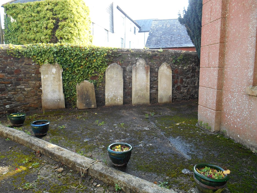
| Memorials | : | 0 |
| Location | : | North Tawton, West Devon Borough, England |
| Coordinate | : | 50.8003830, -3.8978140 |
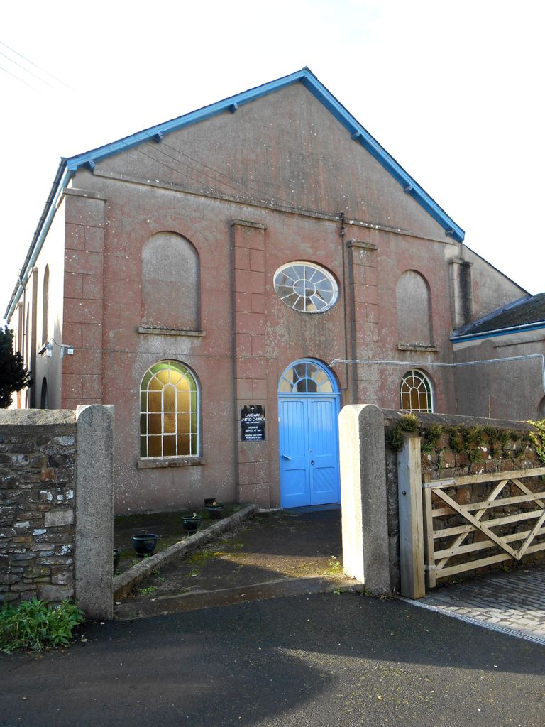
| Description | : | Lakeway United Church in North Street was originally the Congregational church and has a long history in the town. Lakeway is a united congregation between the Methodist and the United Reformed Churches which was set up when the Methodist Chapel (in Barton Street) closed. The old chapel is now used as the town youth and community centre. |
frequently asked questions (FAQ):
-
Where is Lakeway United Churchyard?
Lakeway United Churchyard is located at North Street North Tawton, West Devon Borough ,Devon , EX20 2ESEngland.
-
Lakeway United Churchyard cemetery's updated grave count on graveviews.com?
0 memorials
-
Where are the coordinates of the Lakeway United Churchyard?
Latitude: 50.8003830
Longitude: -3.8978140
Nearby Cemetories:
1. St. Peter's Churchyard
North Tawton, West Devon Borough, England
Coordinate: 50.7996670, -3.8966470
2. Saint Andrew Churchyard
Sampford Courtenay, West Devon Borough, England
Coordinate: 50.7947940, -3.9418070
3. St Peter's Churchyard
Zeal Monachorum, Mid Devon District, England
Coordinate: 50.8215200, -3.8186300
4. St Michael Churchyard
Spreyton, West Devon Borough, England
Coordinate: 50.7554200, -3.8480100
5. All Hallows Churchyard
Broadwoodkelly, West Devon Borough, England
Coordinate: 50.8356060, -3.9647330
6. Allerbridge Chapelyard
Coldridge, Mid Devon District, England
Coordinate: 50.8455440, -3.8388050
7. St. Matthew's Churchyard
Coldridge, Mid Devon District, England
Coordinate: 50.8537071, -3.8503761
8. All Saints Churchyard
Winkleigh, Torridge District, England
Coordinate: 50.8557810, -3.9440440
9. St. Andrew's Churchyard
South Tawton, West Devon Borough, England
Coordinate: 50.7342012, -3.9103063
10. St. Bartholomew's Churchyard
Nymet Rowland, Mid Devon District, England
Coordinate: 50.8590160, -3.8326150
11. Sticklepath Quaker Burying Ground
Sticklepath, West Devon Borough, England
Coordinate: 50.7302400, -3.9257800
12. St. Michael and All Angels Churchyard
Wembworthy, Mid Devon District, England
Coordinate: 50.8736590, -3.8958760
13. St Mary the Virgin Churchyard
Down St Mary, Mid Devon District, England
Coordinate: 50.8259700, -3.7862390
14. St. Petrock's Churchyard
Clannaborough, Mid Devon District, England
Coordinate: 50.8087252, -3.7797618
15. Saint Mary the Virgin Churchyard
Belstone, West Devon Borough, England
Coordinate: 50.7246770, -3.9575320
16. All Saints Churchyard
Eggesford, Mid Devon District, England
Coordinate: 50.8847410, -3.8677570
17. Lapford Congregational Churchyard
Lapford, Mid Devon District, England
Coordinate: 50.8620010, -3.8009950
18. Whiddon Down United Methodist Chapelyard
Whiddon Down, West Devon Borough, England
Coordinate: 50.7171800, -3.8562000
19. St. Andrew's Churchyard
Hittisleigh, Mid Devon District, England
Coordinate: 50.7400000, -3.7900000
20. Methodist Cemetery
Copplestone, Mid Devon District, England
Coordinate: 50.8097100, -3.7507800
21. All Saints Churchyard
Okehampton, West Devon Borough, England
Coordinate: 50.7381780, -4.0113319
22. Inwardleigh baptist
Inwardleigh, West Devon Borough, England
Coordinate: 50.7759380, -4.0440100
23. St James
Iddesleigh, West Devon Borough, England
Coordinate: 50.8556200, -4.0344300
24. St James' Church
Chawleigh, Mid Devon District, England
Coordinate: 50.8990000, -3.8329000