
| Memorials | : | 0 |
| Location | : | Sticklepath, West Devon Borough, England |
| Coordinate | : | 50.7302400, -3.9257800 |
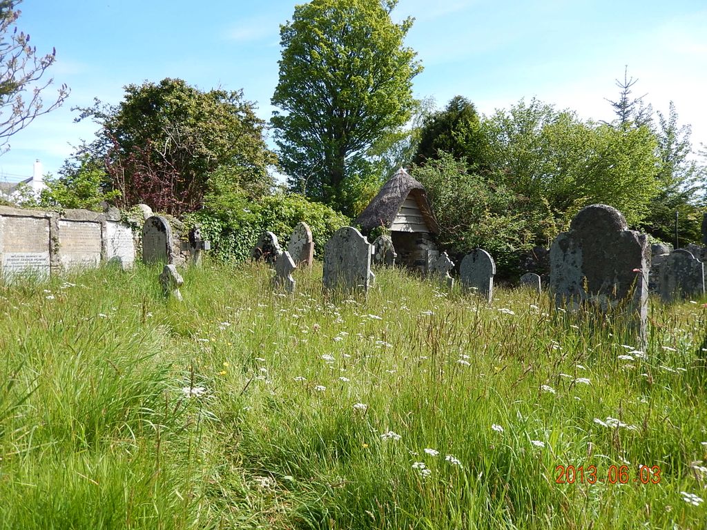
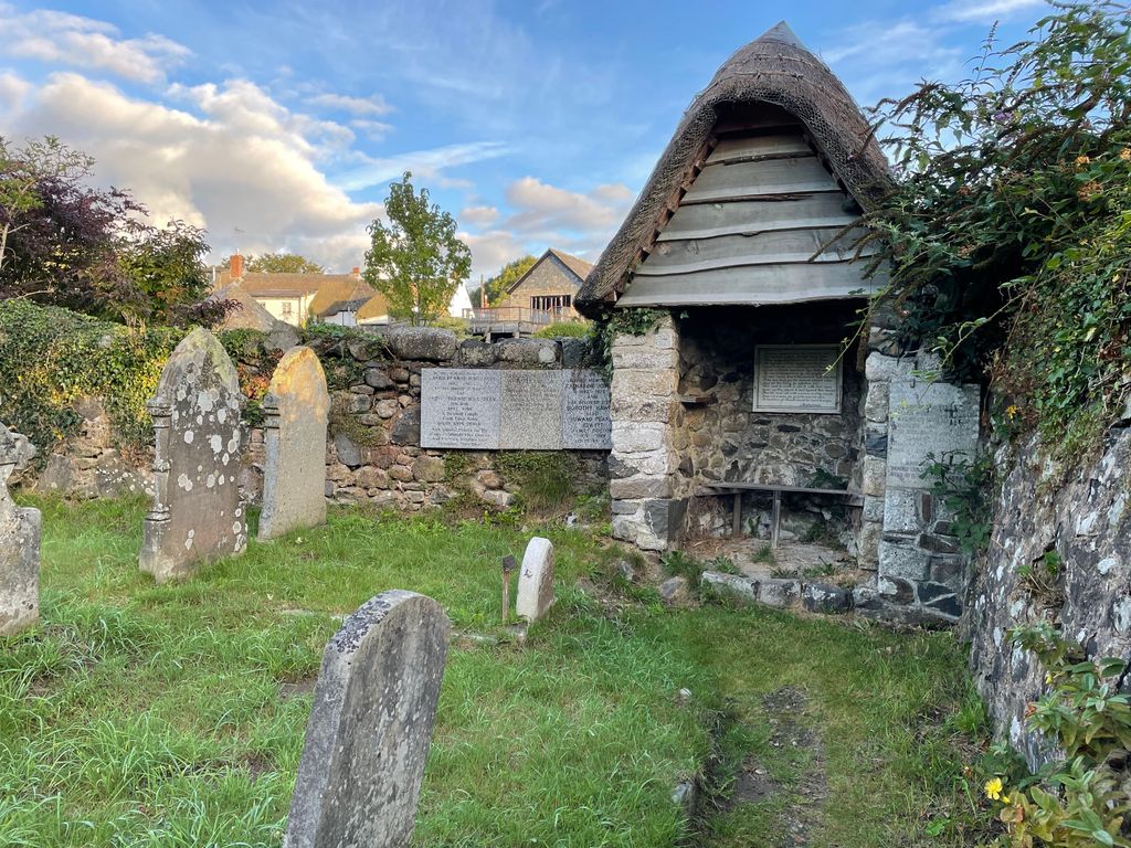
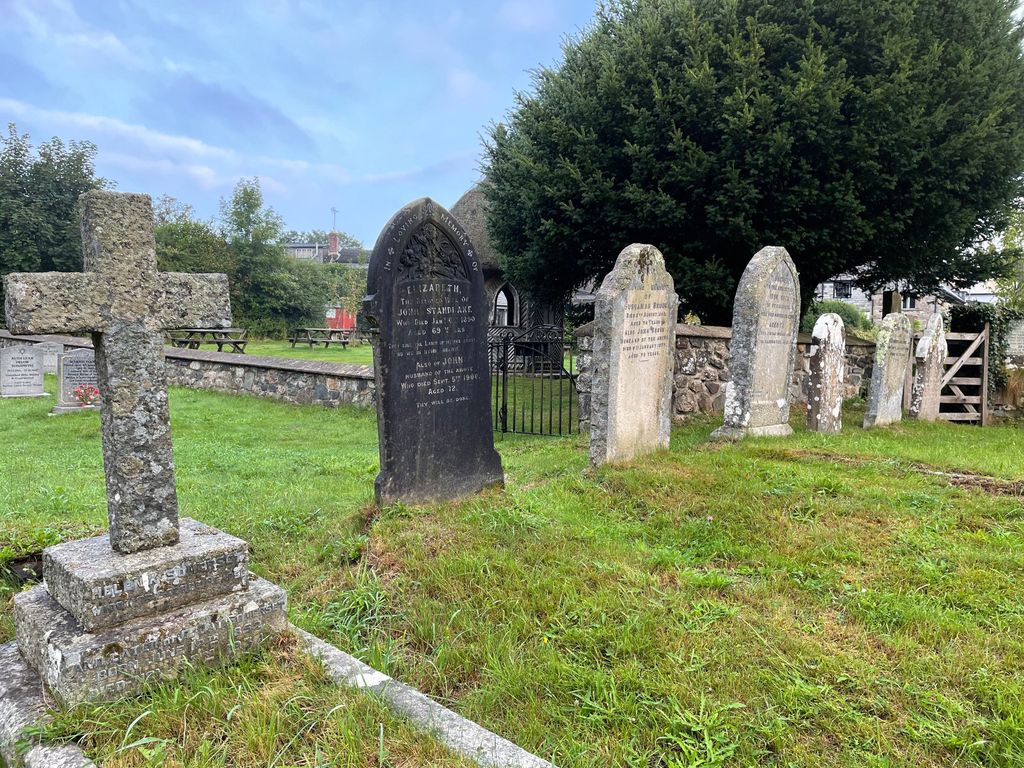
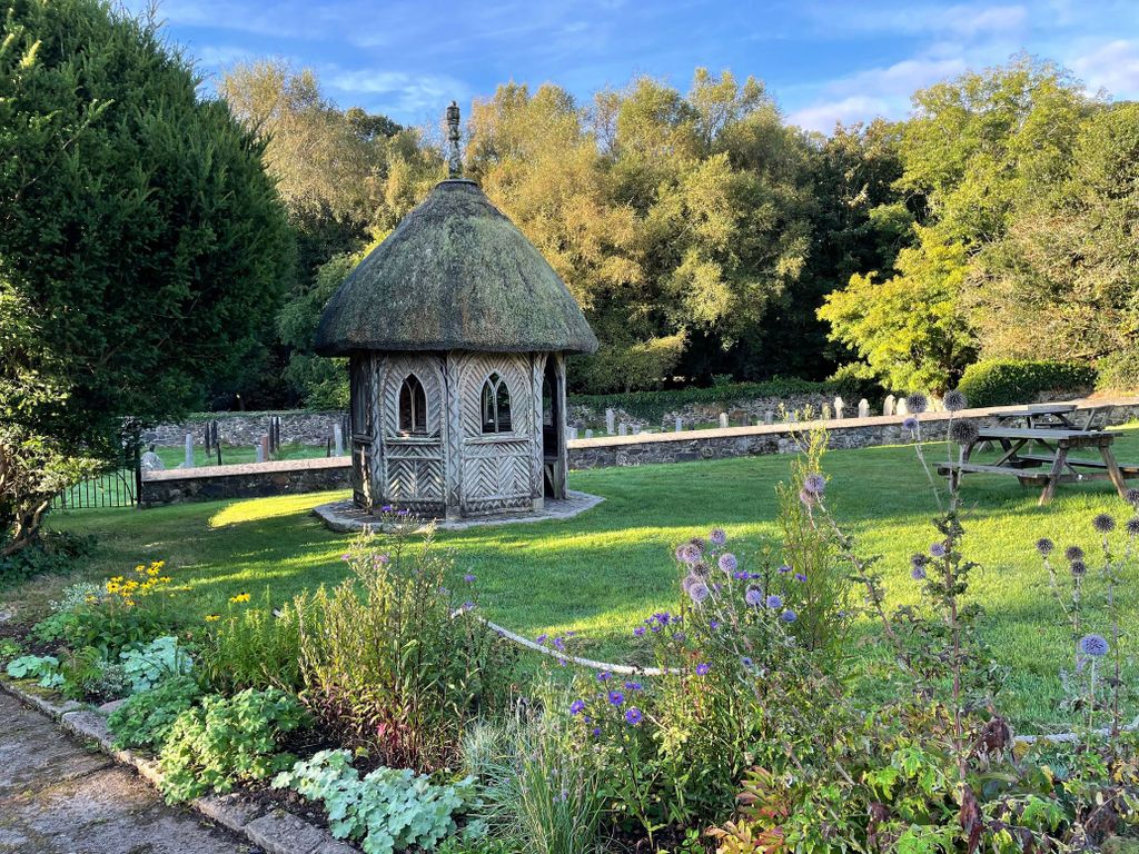
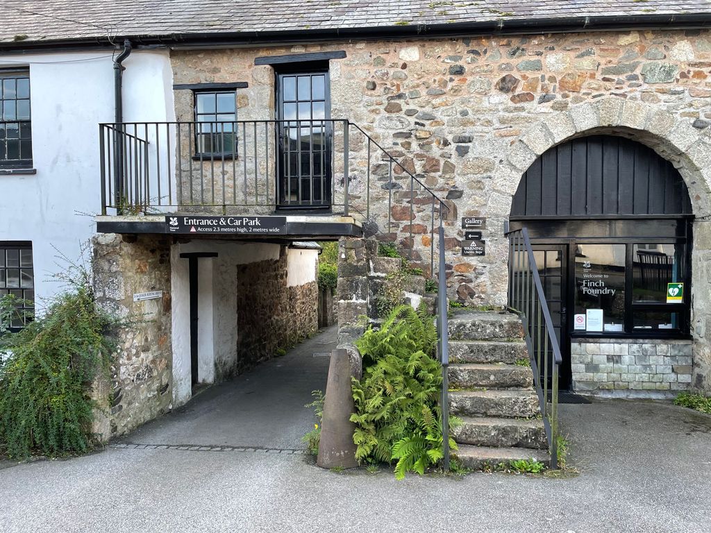
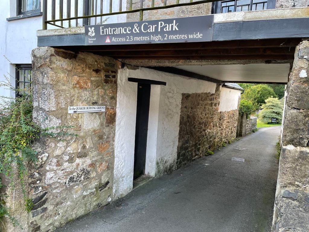
| Description | : | Sticklepath is a typical one-street Devon village on the Northern edge of Dartmoor, lying about 20 miles West of Exeter and 3-4 miles East of Okehampton along the old A30. The Quaker Burying Ground is located in the middle of this historic village, tucked away in a peaceful setting close to the banks of the tumbling Taw river, behind the Finch Foundry, a National Trust property. It is believed that at one time up to 200 Quakers lived in Sticklepath. The land was likely purchased in the early 1700’s, as the first to. be interred... Read More |
frequently asked questions (FAQ):
-
Where is Sticklepath Quaker Burying Ground?
Sticklepath Quaker Burying Ground is located at Sticklepath, West Devon Borough ,Devon ,England.
-
Sticklepath Quaker Burying Ground cemetery's updated grave count on graveviews.com?
0 memorials
-
Where are the coordinates of the Sticklepath Quaker Burying Ground?
Latitude: 50.7302400
Longitude: -3.9257800
Nearby Cemetories:
1. St. Andrew's Churchyard
South Tawton, West Devon Borough, England
Coordinate: 50.7342012, -3.9103063
2. Saint Mary the Virgin Churchyard
Belstone, West Devon Borough, England
Coordinate: 50.7246770, -3.9575320
3. Whiddon Down United Methodist Chapelyard
Whiddon Down, West Devon Borough, England
Coordinate: 50.7171800, -3.8562000
4. All Saints Churchyard
Okehampton, West Devon Borough, England
Coordinate: 50.7381780, -4.0113319
5. St Michael Churchyard
Spreyton, West Devon Borough, England
Coordinate: 50.7554200, -3.8480100
6. Saint Andrew Churchyard
Sampford Courtenay, West Devon Borough, England
Coordinate: 50.7947940, -3.9418070
7. St. Peter's Churchyard
North Tawton, West Devon Borough, England
Coordinate: 50.7996670, -3.8966470
8. Lakeway United Churchyard
North Tawton, West Devon Borough, England
Coordinate: 50.8003830, -3.8978140
9. St Michael the Archangel Churchyard
Chagford, West Devon Borough, England
Coordinate: 50.6724500, -3.8392600
10. St. Andrew's Churchyard
Hittisleigh, Mid Devon District, England
Coordinate: 50.7400000, -3.7900000
11. Inwardleigh baptist
Inwardleigh, West Devon Borough, England
Coordinate: 50.7759380, -4.0440100
12. Holy Trinity Churchyard
Drewsteignton, West Devon Borough, England
Coordinate: 50.7035570, -3.7906940
13. All Hallows Churchyard
Broadwoodkelly, West Devon Borough, England
Coordinate: 50.8356060, -3.9647330
14. Crossways Woodland Burial Ground
Cheriton Bishop, Mid Devon District, England
Coordinate: 50.7336610, -3.7505320
15. St Peter's Churchyard
Zeal Monachorum, Mid Devon District, England
Coordinate: 50.8215200, -3.8186300
16. Church of St. Mary
Cheriton Bishop, Mid Devon District, England
Coordinate: 50.7287778, -3.7385000
17. St. Petrock's Churchyard
Clannaborough, Mid Devon District, England
Coordinate: 50.8087252, -3.7797618
18. St. Bridget's Churchyard
Bridestowe, West Devon Borough, England
Coordinate: 50.6854830, -4.1055600
19. St. Andrew's Churchyard
Moretonhampstead, Teignbridge District, England
Coordinate: 50.6611600, -3.7625000
20. All Saints Churchyard
Winkleigh, Torridge District, England
Coordinate: 50.8557810, -3.9440440
21. St John the Baptist Churchyard
North Bovey, West Devon Borough, England
Coordinate: 50.6407600, -3.7835500
22. Allerbridge Chapelyard
Coldridge, Mid Devon District, England
Coordinate: 50.8455440, -3.8388050
23. St Mary the Virgin Churchyard
Down St Mary, Mid Devon District, England
Coordinate: 50.8259700, -3.7862390
24. St. Matthew's Churchyard
Coldridge, Mid Devon District, England
Coordinate: 50.8537071, -3.8503761