
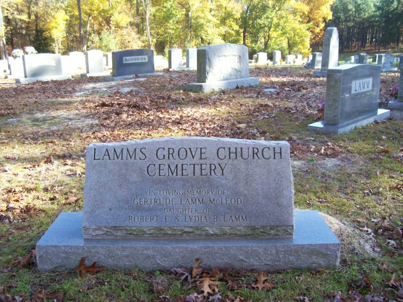
| Memorials | : | 18 |
| Location | : | Carthage, Moore County, USA |
| Coordinate | : | 35.3671630, -79.3084360 |
frequently asked questions (FAQ):
-
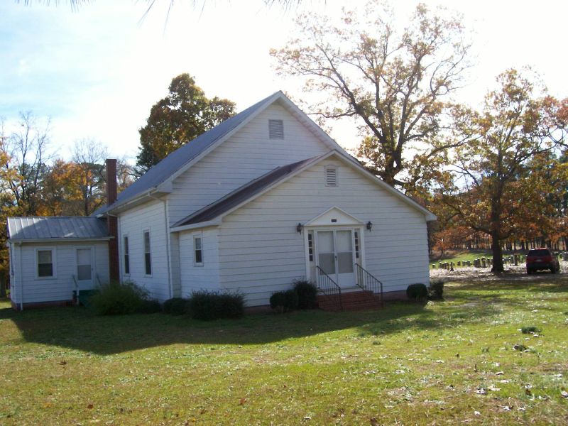
Where is Lamms Grove Church Cemetery?
Lamms Grove Church Cemetery is located at Lamms Grove Road Carthage, Moore County ,North Carolina , 28327USA.
-
Lamms Grove Church Cemetery cemetery's updated grave count on graveviews.com?
15 memorials
-
Where are the coordinates of the Lamms Grove Church Cemetery?
Latitude: 35.3671630
Longitude: -79.3084360
Nearby Cemetories:
1. Mount Zion AME Zion Church Cemetery
Carthage, Moore County, USA
Coordinate: 35.3502930, -79.3270490
2. White Hill Presbyterian Church Cemetery
Sanford, Lee County, USA
Coordinate: 35.3822289, -79.2790680
3. Stone Chapel Baptist Church Cemetery
Carthage, Moore County, USA
Coordinate: 35.3593300, -79.3418900
4. Red Hill Baptist Church Cemetery
Cameron, Moore County, USA
Coordinate: 35.3352710, -79.3022750
5. Ephesus Baptist Church Cemetery
Sanford, Lee County, USA
Coordinate: 35.3886870, -79.2705340
6. Center United Methodist Church Cemetery
Sanford, Lee County, USA
Coordinate: 35.4036690, -79.2908150
7. Red Branch Baptist Church Cemetery
Carthage, Moore County, USA
Coordinate: 35.3826320, -79.3548600
8. Emmanuel Baptist Church Cemetery
Carthage, Moore County, USA
Coordinate: 35.3569160, -79.3615360
9. Cameron Presbyterian Church Cemetery
Cameron, Moore County, USA
Coordinate: 35.3273280, -79.2588260
10. Good Shepherd Baptist Church Cemetery
Cameron, Moore County, USA
Coordinate: 35.3256361, -79.2582008
11. Union Presbyterian Church Cemetery
Carthage, Moore County, USA
Coordinate: 35.3164650, -79.3483260
12. Priest Hill Presbyterian Church Cemetery
Carthage, Moore County, USA
Coordinate: 35.3695820, -79.3839880
13. Rocky Fork Christian Church Cemetery
Sanford, Lee County, USA
Coordinate: 35.3564670, -79.2284450
14. Crains Creek Cemetery
Cameron, Moore County, USA
Coordinate: 35.3017006, -79.2827988
15. Poplar Springs AME Church Cemetery
Sanford, Lee County, USA
Coordinate: 35.4362220, -79.2874110
16. Community Friends Church Cemetery
Carthage, Moore County, USA
Coordinate: 35.3417360, -79.3957510
17. Henderson Cemetery
Vass, Moore County, USA
Coordinate: 35.2902985, -79.3158035
18. Halls Memorial Church Cemetery
Vass, Moore County, USA
Coordinate: 35.2849510, -79.3153240
19. Trinity Bible Church Cemetery
Carthage, Moore County, USA
Coordinate: 35.3215750, -79.3938350
20. Stony Hill Free Will Baptist Church Cemetery
Carthage, Moore County, USA
Coordinate: 35.3353860, -79.4073180
21. Pineywood Baptist Church Cemetery
Cameron, Moore County, USA
Coordinate: 35.2957360, -79.2478450
22. First Missionary Baptist Church Cemetery
Carthage, Moore County, USA
Coordinate: 35.3654450, -79.4160830
23. Sadler Family Cemetery
Carthage, Moore County, USA
Coordinate: 35.2797580, -79.3350430
24. Carthage Presbyterian Church Cemetery
Carthage, Moore County, USA
Coordinate: 35.3465070, -79.4183190