| Memorials | : | 6 |
| Location | : | Sanford, Lee County, USA |
| Coordinate | : | 35.3822289, -79.2790680 |
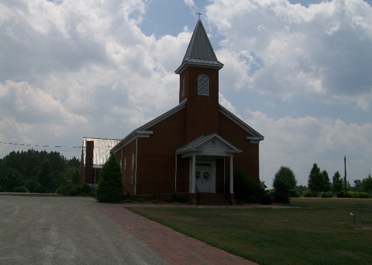
| Description | : | 3335 White Hill Road Hwy 15-501 Sanford, North Carolina Telephone (919) 776-2161 In the spring of 1881 a petition was presented to Fayetteville Presbytery to establish a church in the White Hill area. The name "White Hill" was derived from the whitish, sandy soil found on this small hillside. This petition was granted and a church, White Hill Presbyterian was established. The original membership was 43 members, all of whom brought certificates of membership from nearby Presbyterian churches of Union, Buffalo, and Euphronia. Many current members trace their ancestry back to the original 43 members. The first church was dedicated on July 19, 1896.... Read More |
frequently asked questions (FAQ):
-
Where is White Hill Presbyterian Church Cemetery?
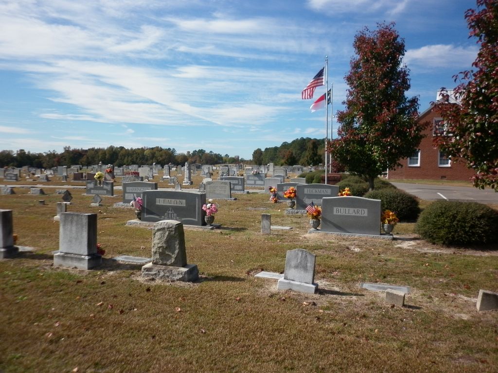
White Hill Presbyterian Church Cemetery is located at Sanford, Lee County ,North Carolina ,USA.
-
White Hill Presbyterian Church Cemetery cemetery's updated grave count on graveviews.com?
5 memorials
-
Where are the coordinates of the White Hill Presbyterian Church Cemetery?
Latitude: 35.3822289
Longitude: -79.2790680
Nearby Cemetories:
1. Ephesus Baptist Church Cemetery
Sanford, Lee County, USA
Coordinate: 35.3886870, -79.2705340
2. Center United Methodist Church Cemetery
Sanford, Lee County, USA
Coordinate: 35.4036690, -79.2908150
3. Lamms Grove Church Cemetery
Carthage, Moore County, USA
Coordinate: 35.3671630, -79.3084360
4. Rocky Fork Christian Church Cemetery
Sanford, Lee County, USA
Coordinate: 35.3564670, -79.2284450
5. Mount Zion AME Zion Church Cemetery
Carthage, Moore County, USA
Coordinate: 35.3502930, -79.3270490
6. Red Hill Baptist Church Cemetery
Cameron, Moore County, USA
Coordinate: 35.3352710, -79.3022750
7. Poplar Springs AME Church Cemetery
Sanford, Lee County, USA
Coordinate: 35.4362220, -79.2874110
8. Stone Chapel Baptist Church Cemetery
Carthage, Moore County, USA
Coordinate: 35.3593300, -79.3418900
9. Cameron Presbyterian Church Cemetery
Cameron, Moore County, USA
Coordinate: 35.3273280, -79.2588260
10. Good Shepherd Baptist Church Cemetery
Cameron, Moore County, USA
Coordinate: 35.3256361, -79.2582008
11. Red Branch Baptist Church Cemetery
Carthage, Moore County, USA
Coordinate: 35.3826320, -79.3548600
12. Grace Chapel Church Cemetery
Tramway, Lee County, USA
Coordinate: 35.4273110, -79.2226540
13. McQueen Cemetery
Lee County, USA
Coordinate: 35.3753014, -79.1931000
14. Lemon Springs Methodist Church Cemetery
Sanford, Lee County, USA
Coordinate: 35.3904280, -79.1930240
15. Lemon Springs Baptist Church Cemetery
Sanford, Lee County, USA
Coordinate: 35.3797760, -79.1919370
16. Emmanuel Baptist Church Cemetery
Carthage, Moore County, USA
Coordinate: 35.3569160, -79.3615360
17. Yarborough Family Farm Cemetery
Sanford, Lee County, USA
Coordinate: 35.4226300, -79.2040200
18. Beaver Creek Baptist Church Cemetery
Lee County, USA
Coordinate: 35.3466710, -79.1984680
19. Crains Creek Cemetery
Cameron, Moore County, USA
Coordinate: 35.3017006, -79.2827988
20. Johnson Cemetery
Lee County, USA
Coordinate: 35.3480988, -79.1889038
21. Mount Nebo FWB Church Cemetery
Lemon Springs, Lee County, USA
Coordinate: 35.3621004, -79.1825244
22. Johnson Family Cemetery
Lemon Springs, Lee County, USA
Coordinate: 35.3482420, -79.1884020
23. Green Grove Cemetery
Cameron, Moore County, USA
Coordinate: 35.3198788, -79.2111364
24. Wayside Presbyterian Church Cemetery
Sanford, Lee County, USA
Coordinate: 35.3340020, -79.1914550


