
| Memorials | : | 141 |
| Location | : | Landaff, Grafton County, USA |
| Coordinate | : | 44.1739860, -71.8847040 |
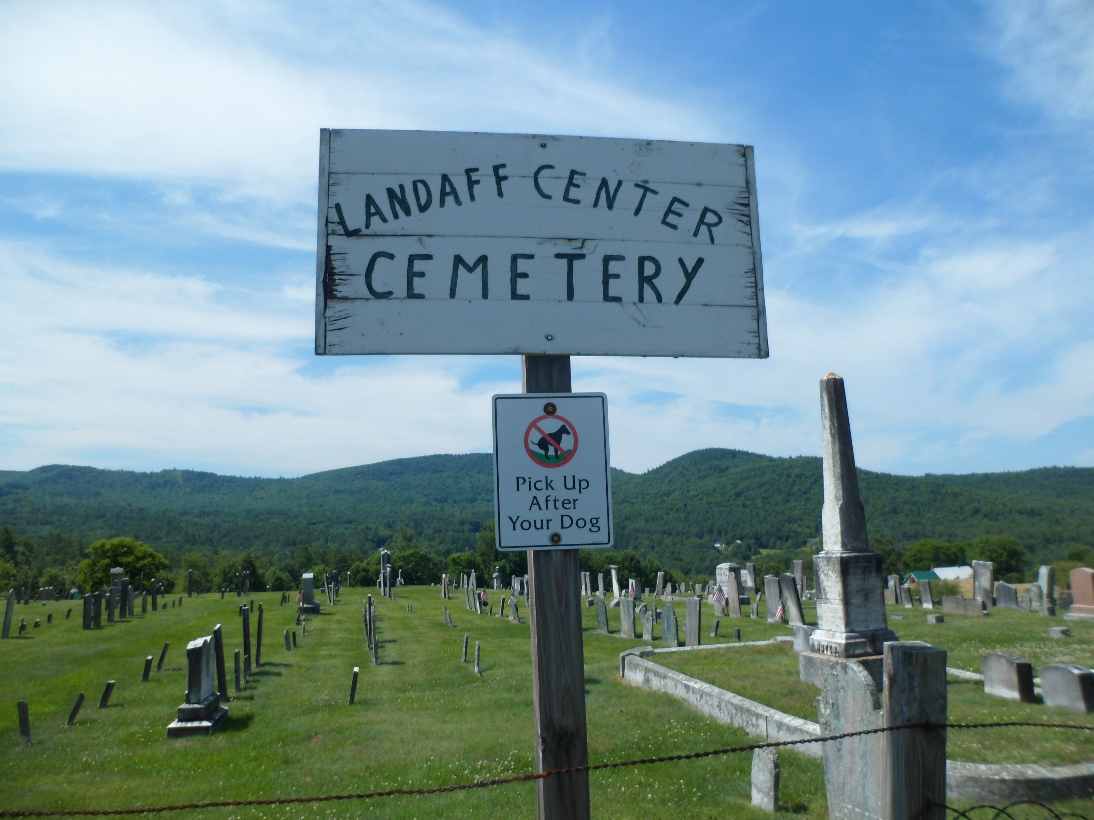
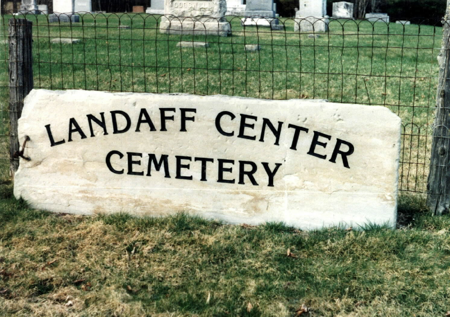
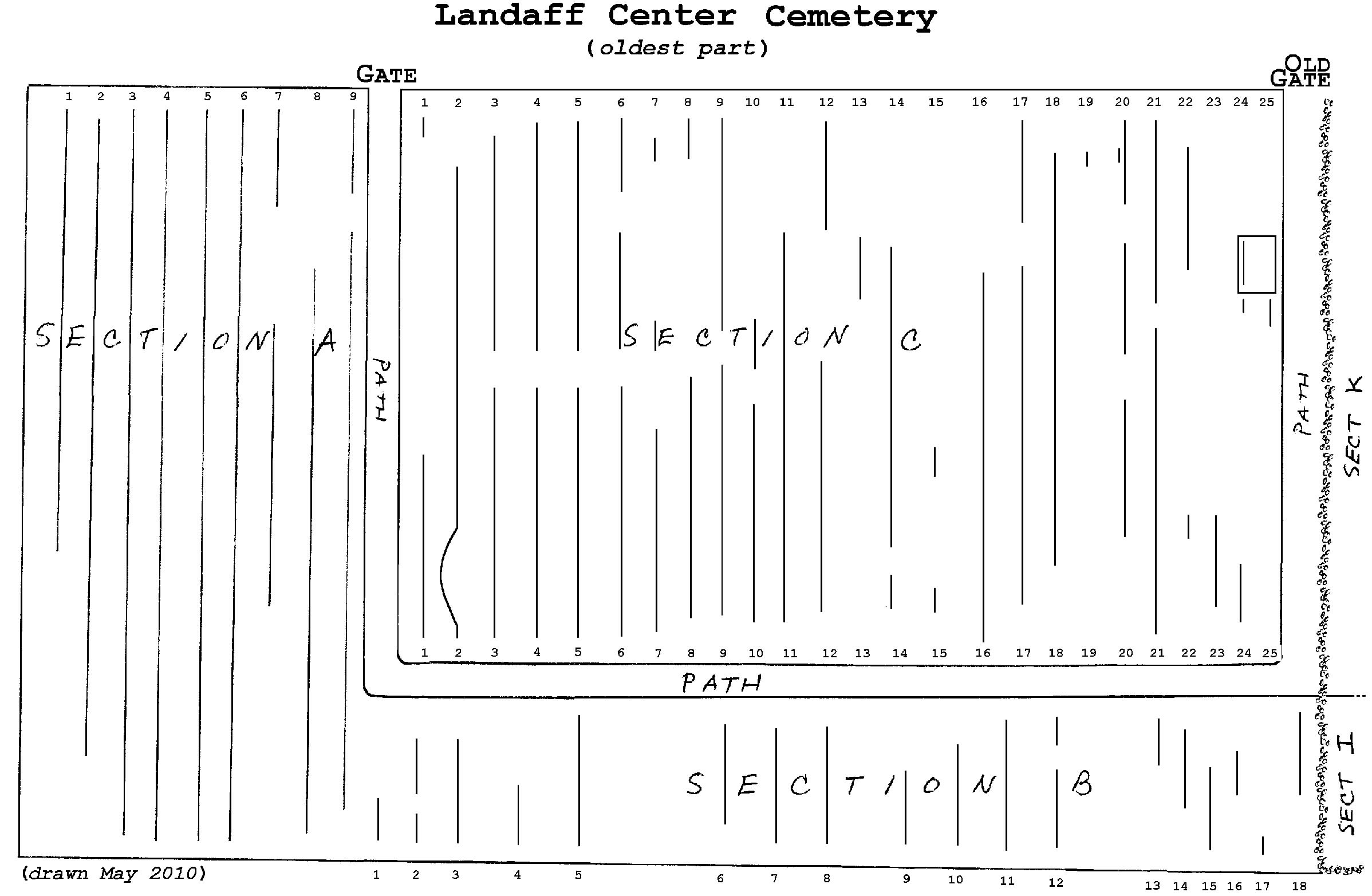
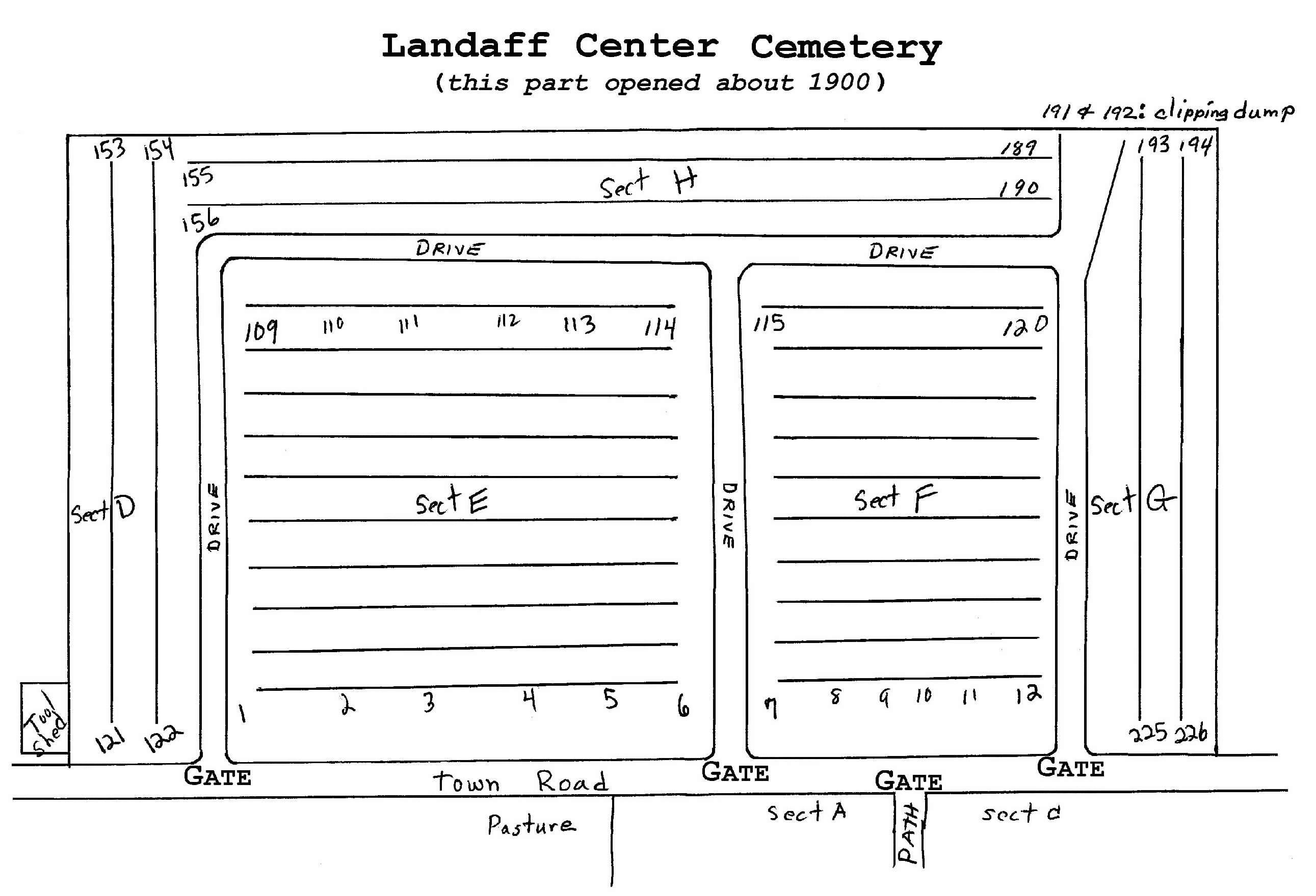
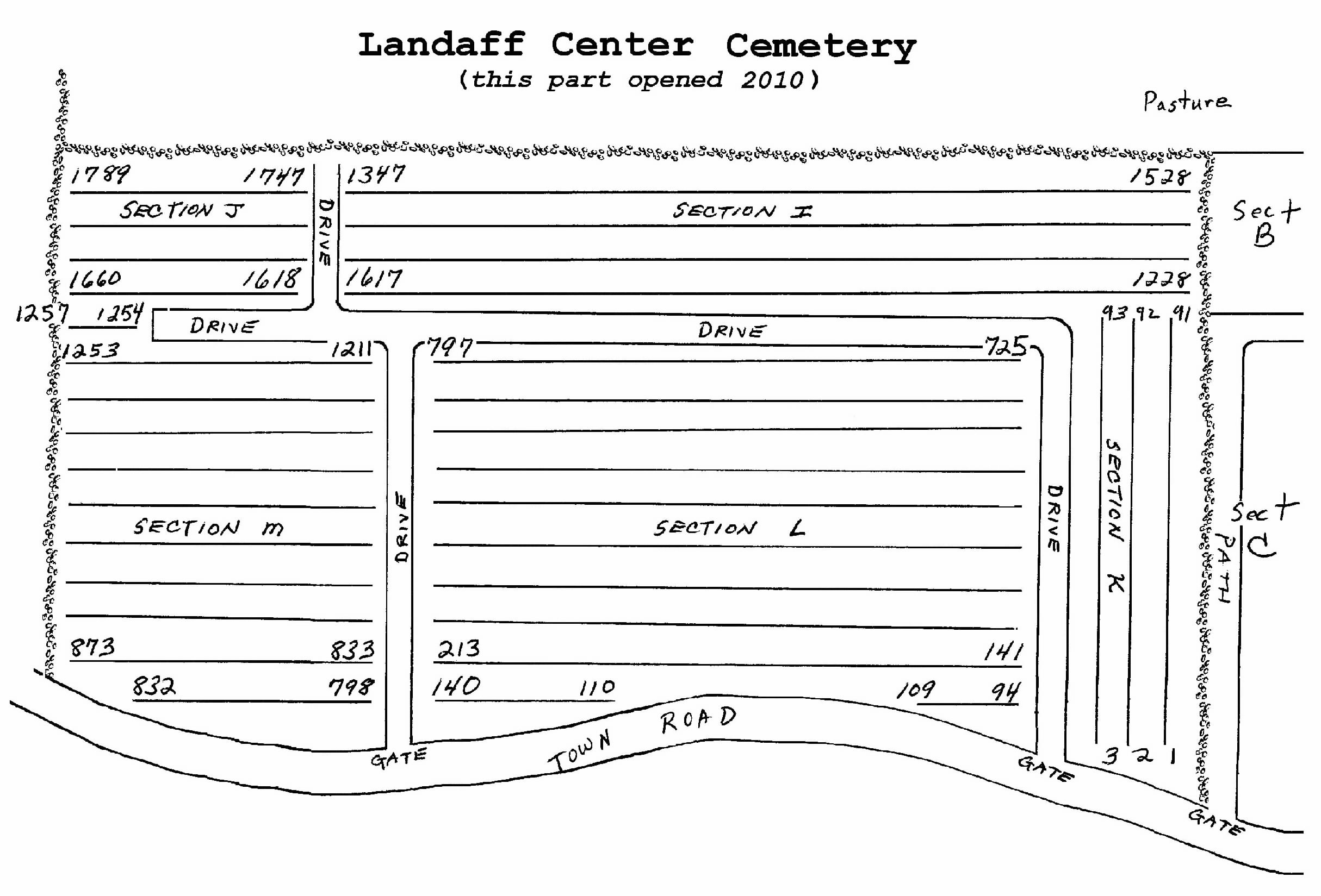
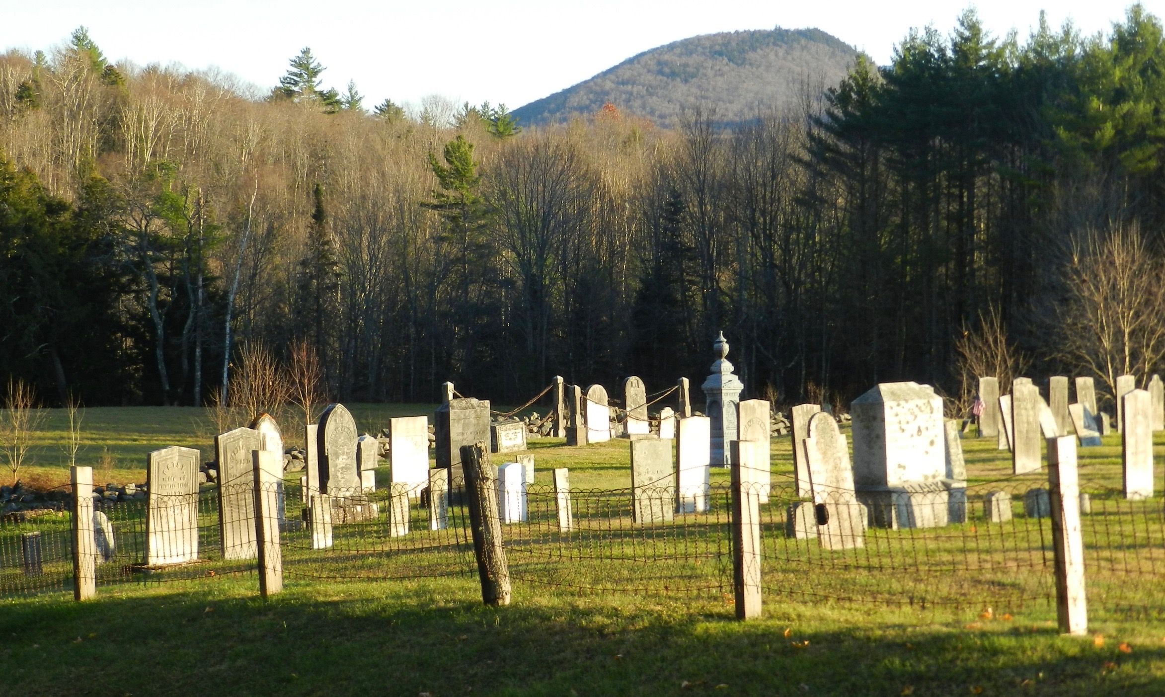
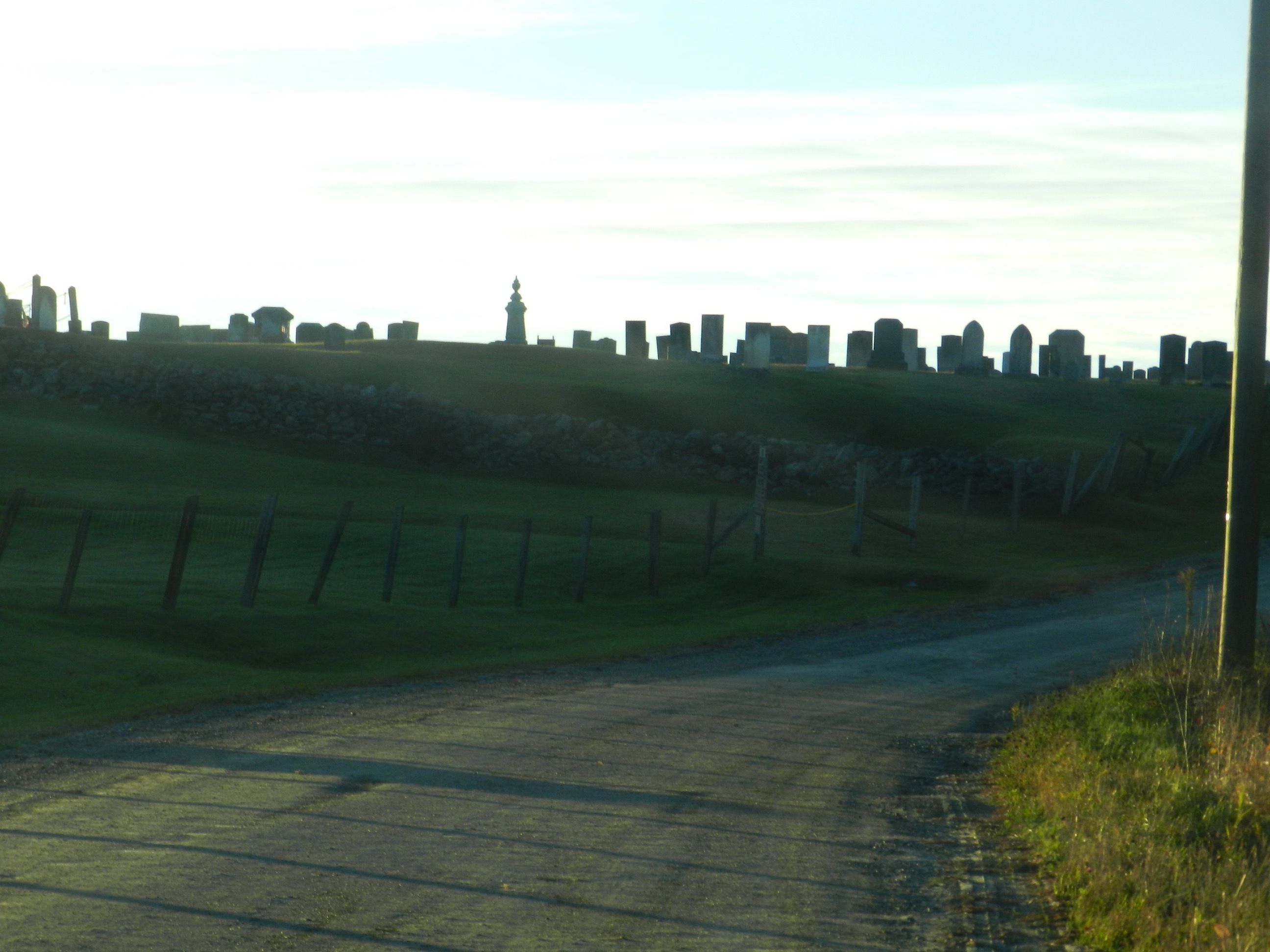
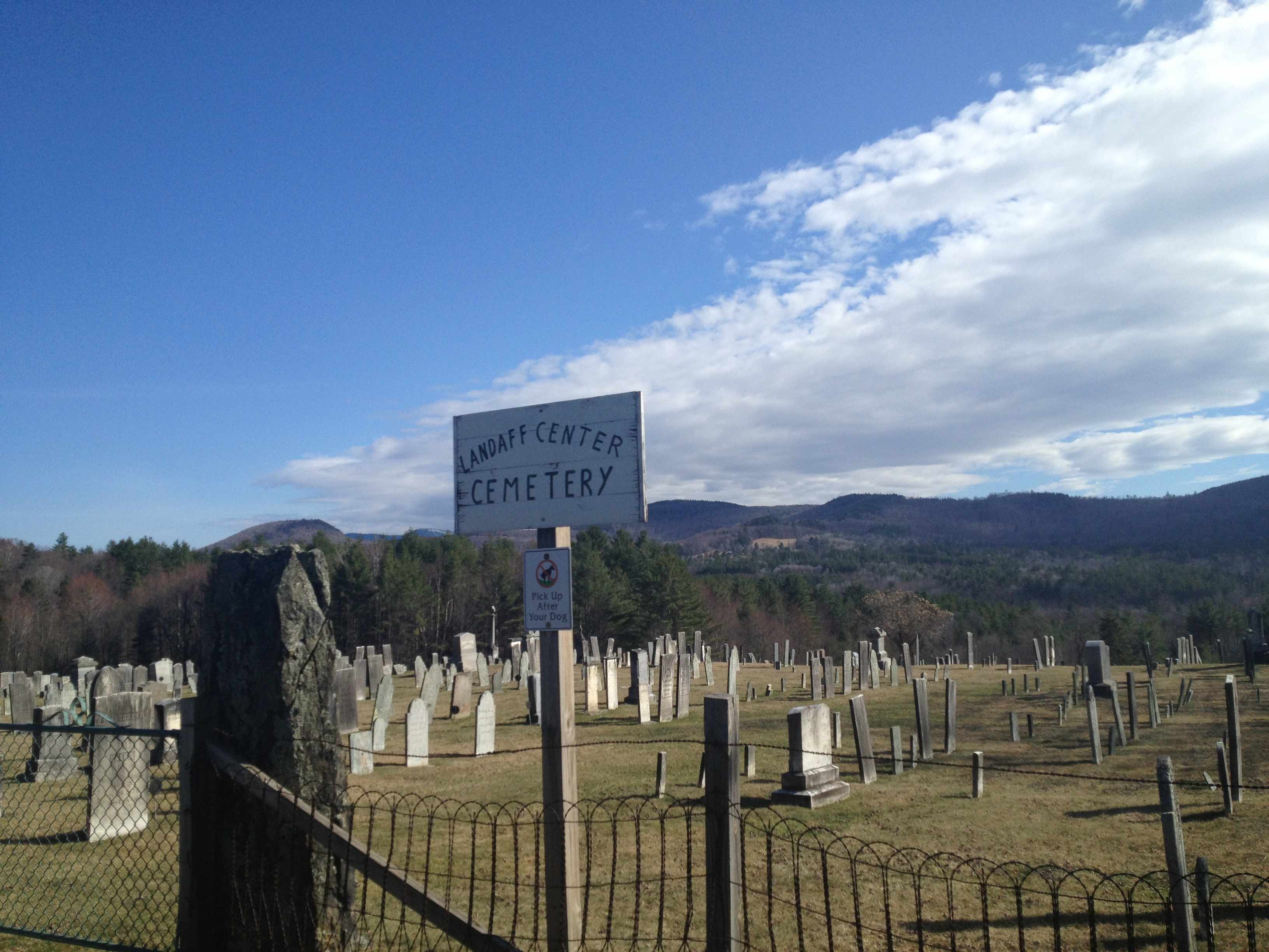
| Description | : | The cemetery is best reached from the village of Lisbon which lies on US Rt 302. The cemetery is 3-1/2 miles east of the RR station on Central St and 525 ft above it at an elevation of 1125 ft. The Oldest Part, on the south side of the town road, consists of sections A, B,& C which contain 684 inscriptions. There are 730 stones: 589 gravestones and 140 footstones. The oldest stone is a rough home-shaped fieldstone with a bulge top, cross-bones and "S. P." were scratched in; the earliest inscription is Lydia Andrus (1762a - Jan 17 1785);... Read More |
frequently asked questions (FAQ):
-
Where is Landaff Center Cemetery?
Landaff Center Cemetery is located at Landaff, Grafton County ,New Hampshire ,USA.
-
Landaff Center Cemetery cemetery's updated grave count on graveviews.com?
141 memorials
-
Where are the coordinates of the Landaff Center Cemetery?
Latitude: 44.1739860
Longitude: -71.8847040
Nearby Cemetories:
1. Grove Hill Cemetery
Lisbon, Grafton County, USA
Coordinate: 44.2108002, -71.9094009
2. Noyes Cemetery
Landaff, Grafton County, USA
Coordinate: 44.1830560, -71.8286110
3. Bath Village Cemetery
Bath, Grafton County, USA
Coordinate: 44.1693500, -71.9617800
4. Salmon Hole Cemetery
Lisbon, Grafton County, USA
Coordinate: 44.2359600, -71.8848200
5. Pettyboro District Cemetery
Pettyboro, Grafton County, USA
Coordinate: 44.2038310, -71.9620880
6. Swiftwater Cemetery
Bath, Grafton County, USA
Coordinate: 44.1303400, -71.9574300
7. Sunnyside Cemetery
Sugar Hill, Grafton County, USA
Coordinate: 44.2130300, -71.8061600
8. West Cemetery
Benton, Grafton County, USA
Coordinate: 44.1033700, -71.9014000
9. West Bath Cemetery
Bath, Grafton County, USA
Coordinate: 44.1750930, -71.9865080
10. East Cemetery
Benton, Grafton County, USA
Coordinate: 44.0985985, -71.8846970
11. Kinsman Cemetery
Easton, Grafton County, USA
Coordinate: 44.1374900, -71.7808700
12. Easton Cemetery
Easton, Grafton County, USA
Coordinate: 44.1375000, -71.7805560
13. Pond Cemetery
Lyman, Grafton County, USA
Coordinate: 44.2671800, -71.9093700
14. Parker Hill Cemetery
Lyman, Grafton County, USA
Coordinate: 44.2582400, -71.9458800
15. Willow Cemetery
Franconia, Grafton County, USA
Coordinate: 44.1968994, -71.7530975
16. Upper Smith Road Cemetery
Bath, Grafton County, USA
Coordinate: 44.2202780, -72.0075000
17. Center Cemetery
Lyman, Grafton County, USA
Coordinate: 44.2672200, -71.9381400
18. Brown Farmstead Cemetery
Benton, Grafton County, USA
Coordinate: 44.0778000, -71.8420830
19. Moulton Hill Cemetery
Lyman, Grafton County, USA
Coordinate: 44.2457400, -71.9862900
20. Pine Grove Cemetery
Woodsville, Grafton County, USA
Coordinate: 44.1380997, -72.0188980
21. Elmwood Cemetery
Franconia, Grafton County, USA
Coordinate: 44.2219009, -71.7474976
22. Carbee Cemetery
Bath, Grafton County, USA
Coordinate: 44.1724640, -72.0466980
23. Bedel Cemetery
Bath, Grafton County, USA
Coordinate: 44.2075000, -72.0455560
24. Saint Joseph Cemetery
Bath, Grafton County, USA
Coordinate: 44.1803017, -72.0524979