
| Memorials | : | 0 |
| Location | : | Lincklaen, Chenango County, USA |
| Coordinate | : | 42.6626360, -75.8692430 |
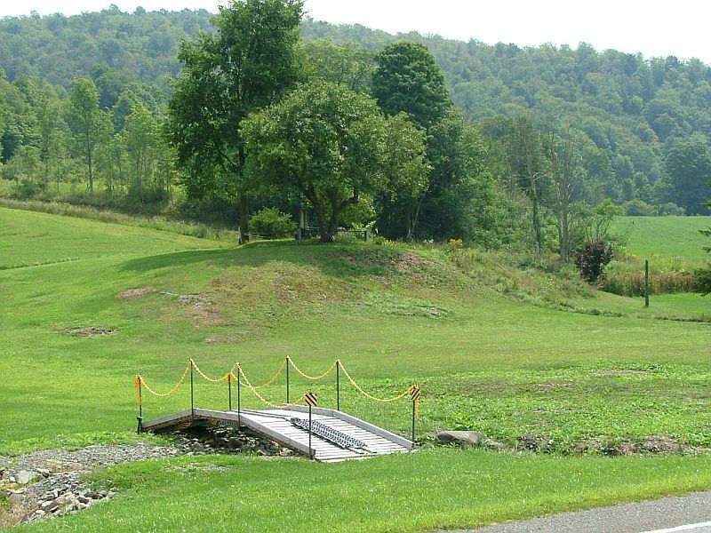
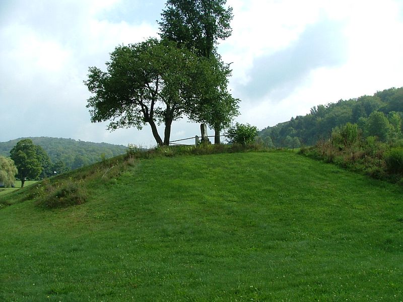
| Description | : | The Lane Hill Cemetery is a small family cemetery located on the north side of Lane Hill Road, near its junction with Chenango County Highway 12 in Lincklaen. It consists of a single marble monument for members of the Lane family. This may represent some of the burials in an unknown cemetery rumored to exist on Lane Hill "boarding State Land" for which no graves have been located. |
frequently asked questions (FAQ):
-
Where is Lane Hill Cemetery?
Lane Hill Cemetery is located at Lincklaen, Chenango County ,New York ,USA.
-
Lane Hill Cemetery cemetery's updated grave count on graveviews.com?
0 memorials
-
Where are the coordinates of the Lane Hill Cemetery?
Latitude: 42.6626360
Longitude: -75.8692430
Nearby Cemetories:
1. Woodlawn Cemetery
Lincklaen, Chenango County, USA
Coordinate: 42.6722900, -75.8704730
2. Union Valley Cemetery
Union Valley, Cortland County, USA
Coordinate: 42.6281000, -75.8854400
3. Potter Hill Cemetery
Taylor, Cortland County, USA
Coordinate: 42.6432991, -75.9139023
4. Pink Hill Cemetery
Pitcher, Chenango County, USA
Coordinate: 42.6237100, -75.8615000
5. Lincklaen Center Cemetery
Lincklaen Center, Chenango County, USA
Coordinate: 42.7100000, -75.8494440
6. Rhode Island Cemetery
Rhode Island, Chenango County, USA
Coordinate: 42.6734300, -75.8001500
7. North Pitcher Cemetery
Pitcher, Chenango County, USA
Coordinate: 42.6250000, -75.8189011
8. Sidney Burdick Farm Cemetery
Cuyler, Cortland County, USA
Coordinate: 42.7010800, -75.9215900
9. Ufford Corners Cemetery
North Pitcher, Chenango County, USA
Coordinate: 42.6301100, -75.8087800
10. Red School House Cemetery
Lincklaen, Chenango County, USA
Coordinate: 42.7193000, -75.8874930
11. Seventh Day Baptist Cemetery
Cuyler, Cortland County, USA
Coordinate: 42.7154700, -75.9200800
12. Valley View Cemetery
South Otselic, Chenango County, USA
Coordinate: 42.6450000, -75.7819440
13. Finch Burial Ground
Pitcher, Chenango County, USA
Coordinate: 42.5958300, -75.8408700
14. Midlum Farm Cemetery
Cuyler, Cortland County, USA
Coordinate: 42.7222680, -75.9286170
15. Johnson Cemetery
Taylor, Cortland County, USA
Coordinate: 42.5913700, -75.9028400
16. Gay-Armstrong Cemetery
Taylor, Cortland County, USA
Coordinate: 42.6361200, -75.9657200
17. Hinman Cemetery
Pitcher, Chenango County, USA
Coordinate: 42.5875015, -75.8488998
18. Lidell Cemetery
Taylor, Cortland County, USA
Coordinate: 42.6378950, -75.9678970
19. Northwest Corners Cemetery
Pharsalia, Chenango County, USA
Coordinate: 42.6298660, -75.7728070
20. Seventh Day Hollow Cemetery
Otselic, Chenango County, USA
Coordinate: 42.6847100, -75.7616800
21. Pitcher Congregational Church Cemetery
Pitcher, Chenango County, USA
Coordinate: 42.5805550, -75.8616660
22. Crumb Hill Cemetery
DeRuyter, Madison County, USA
Coordinate: 42.7425003, -75.8218994
23. Soper Cemetery
Pitcher, Chenango County, USA
Coordinate: 42.5797005, -75.8210983
24. Lidell Cemetery
Taylor Valley, Cortland County, USA
Coordinate: 42.6066500, -75.9656300