
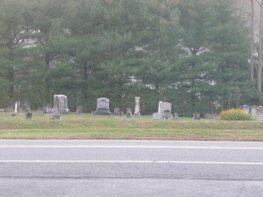
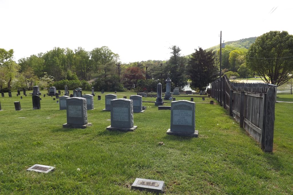
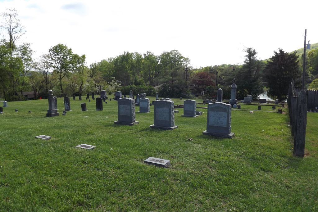
| Memorials | : | 3 |
| Location | : | Botetourt County, USA |
| Coordinate | : | 37.3627790, -79.8490940 |
| Description | : | On November 25, 1846, Abraham and Catherine Kessler sold for “one dollar good and lawful Virginia money” to Daniel H. Kessler, William St.Clair, and Andrew McCrery trustees, a parcel of land on Welch’s Run (a branch of Glade Creek) containing between ¼ and ½ acre for the purpose of a “public burying ground.” Recorded in Deed Book 28, page 260, Botetourt County Courthouse. |
frequently asked questions (FAQ):
-
Where is Laymantown Cemetery?
Laymantown Cemetery is located at Laymantown Rd Botetourt County ,Virginia ,USA.
-
Laymantown Cemetery cemetery's updated grave count on graveviews.com?
3 memorials
-
Where are the coordinates of the Laymantown Cemetery?
Latitude: 37.3627790
Longitude: -79.8490940
Nearby Cemetories:
1. Saint Clair Cemetery
Botetourt County, USA
Coordinate: 37.3774986, -79.8480988
2. Coyner Springs Cemetery
Coyner Springs, Botetourt County, USA
Coordinate: 37.3466988, -79.8621979
3. Saunders Family Cemetery
Blue Ridge, Botetourt County, USA
Coordinate: 37.3711014, -79.8238983
4. Old Glade Creek Cemetery
Blue Ridge, Botetourt County, USA
Coordinate: 37.3598870, -79.8182800
5. Hill Crest Cemetery
Blue Ridge, Botetourt County, USA
Coordinate: 37.3686200, -79.8175810
6. Glade Creek Cemetery
Blue Ridge, Botetourt County, USA
Coordinate: 37.3611500, -79.8165890
7. Smith Family Cemetery
Coyner Springs, Botetourt County, USA
Coordinate: 37.3340562, -79.8581834
8. Forest Chapel Cemetery
Cloverdale, Botetourt County, USA
Coordinate: 37.3783680, -79.8810290
9. Old Dominion Memorial Gardens
Cloverdale, Botetourt County, USA
Coordinate: 37.3596500, -79.8873100
10. Foutz Family Cemetery
Botetourt County, USA
Coordinate: 37.3337120, -79.8710470
11. Benjamin Franklin Moomaw Cemetery
Botetourt County, USA
Coordinate: 37.3344890, -79.8777350
12. Blue Ridge Church of the Brethren Cemetery
Blue Ridge, Botetourt County, USA
Coordinate: 37.3841019, -79.7950516
13. First Baptist Church Cemetery
Cloverdale, Botetourt County, USA
Coordinate: 37.3702500, -79.9113000
14. Daleville Cemetery
Daleville, Botetourt County, USA
Coordinate: 37.3986890, -79.9106860
15. Patterson Cemetery
Cloverdale, Botetourt County, USA
Coordinate: 37.3559110, -79.9260020
16. Troutville Cemetery
Troutville, Botetourt County, USA
Coordinate: 37.4217758, -79.8736115
17. Hollins Memorial Park
Botetourt County, USA
Coordinate: 37.3608580, -79.9379530
18. Kelly Cemetery
Troutville, Botetourt County, USA
Coordinate: 37.4345950, -79.8426800
19. Giles Cemetery
Bedford County, USA
Coordinate: 37.3622017, -79.7577972
20. Brick Union Cemetery
Troutville, Botetourt County, USA
Coordinate: 37.4362984, -79.8722000
21. Rader Cemetery
Troutville, Botetourt County, USA
Coordinate: 37.4416739, -79.8626710
22. Gray-Akers Cemetery
Bedford County, USA
Coordinate: 37.3725900, -79.7488300
23. Amsterdam Cemetery
Amsterdam, Botetourt County, USA
Coordinate: 37.4302200, -79.9042830
24. Foutz Cemetery
Bedford County, USA
Coordinate: 37.2957993, -79.7857971