| Memorials | : | 20 |
| Location | : | Cloverdale, Botetourt County, USA |
| Phone | : | (540) 339-3704 |
| Website | : | www.burialplanning.com/cemeteries/old-dominion-memorial-gardens/ |
| Coordinate | : | 37.3596500, -79.8873100 |
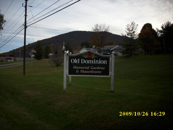
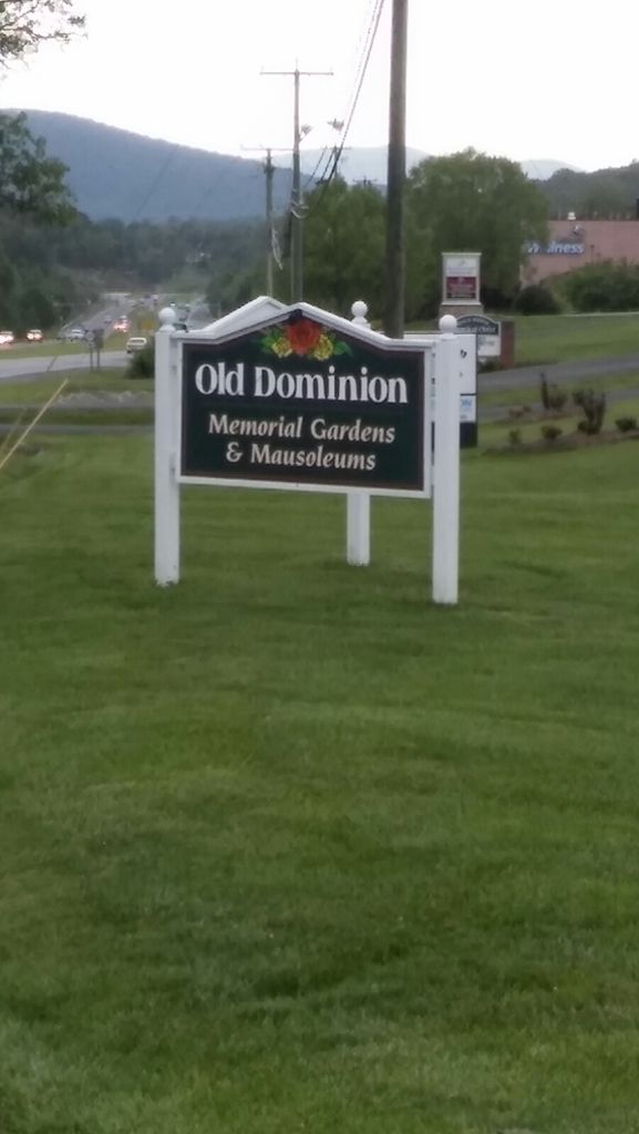
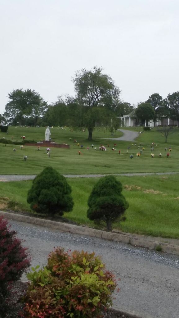
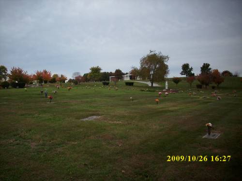
| Description | : | Established in the mid-1970s mid 1970s, Old Dominion Memorial Gardens in BotetourtRoanoke, Virginia, is located within two miles of I-81 and eight miles from downtown Roanoke. The 80-acre grounds consist of various trees including pine, cherry, blackberry, willow, oak, and holly. Hours of Operation: M-F: 9am-5pm Sat: 9am- 3pm Sun: By Appointment Only |
frequently asked questions (FAQ):
-
Where is Old Dominion Memorial Gardens?
Old Dominion Memorial Gardens is located at 7271 Cloverdale Road Cloverdale, Botetourt County ,Virginia , 24019USA.
-
Old Dominion Memorial Gardens cemetery's updated grave count on graveviews.com?
16 memorials
-
Where are the coordinates of the Old Dominion Memorial Gardens?
Latitude: 37.3596500
Longitude: -79.8873100
Nearby Cemetories:
1. Forest Chapel Cemetery
Cloverdale, Botetourt County, USA
Coordinate: 37.3783680, -79.8810290
2. First Baptist Church Cemetery
Cloverdale, Botetourt County, USA
Coordinate: 37.3702500, -79.9113000
3. Coyner Springs Cemetery
Coyner Springs, Botetourt County, USA
Coordinate: 37.3466988, -79.8621979
4. Benjamin Franklin Moomaw Cemetery
Botetourt County, USA
Coordinate: 37.3344890, -79.8777350
5. Foutz Family Cemetery
Botetourt County, USA
Coordinate: 37.3337120, -79.8710470
6. Laymantown Cemetery
Botetourt County, USA
Coordinate: 37.3627790, -79.8490940
7. Patterson Cemetery
Cloverdale, Botetourt County, USA
Coordinate: 37.3559110, -79.9260020
8. Smith Family Cemetery
Coyner Springs, Botetourt County, USA
Coordinate: 37.3340562, -79.8581834
9. Saint Clair Cemetery
Botetourt County, USA
Coordinate: 37.3774986, -79.8480988
10. Hollins Memorial Park
Botetourt County, USA
Coordinate: 37.3608580, -79.9379530
11. Daleville Cemetery
Daleville, Botetourt County, USA
Coordinate: 37.3986890, -79.9106860
12. Saunders Family Cemetery
Blue Ridge, Botetourt County, USA
Coordinate: 37.3711014, -79.8238983
13. Old Glade Creek Cemetery
Blue Ridge, Botetourt County, USA
Coordinate: 37.3598870, -79.8182800
14. Hill Crest Cemetery
Blue Ridge, Botetourt County, USA
Coordinate: 37.3686200, -79.8175810
15. Glade Creek Cemetery
Blue Ridge, Botetourt County, USA
Coordinate: 37.3611500, -79.8165890
16. Troutville Cemetery
Troutville, Botetourt County, USA
Coordinate: 37.4217758, -79.8736115
17. Riley Cemetery
Daleville, Botetourt County, USA
Coordinate: 37.4028650, -79.9539910
18. Amsterdam Cemetery
Amsterdam, Botetourt County, USA
Coordinate: 37.4302200, -79.9042830
19. Peery Cemetery
Troutville, Botetourt County, USA
Coordinate: 37.4227982, -79.9306030
20. Blue Ridge Church of the Brethren Cemetery
Blue Ridge, Botetourt County, USA
Coordinate: 37.3841019, -79.7950516
21. Brick Union Cemetery
Troutville, Botetourt County, USA
Coordinate: 37.4362984, -79.8722000
22. Greenfield Cemetery
Amsterdam, Botetourt County, USA
Coordinate: 37.4375000, -79.9141998
23. Boyer Cemetery
Amsterdam, Botetourt County, USA
Coordinate: 37.4406013, -79.9060974
24. Kelly Cemetery
Troutville, Botetourt County, USA
Coordinate: 37.4345950, -79.8426800


