
| Memorials | : | 0 |
| Location | : | Cameron, Monroe County, USA |
| Coordinate | : | 39.7839012, -80.9963989 |
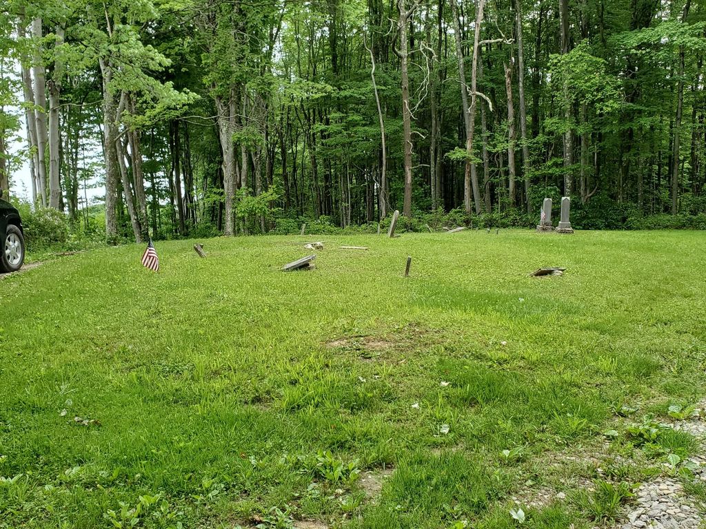
| Description | : | The cemetery is located on the west side of Varner Ridge Road (Township Road 168) about 0.7 miles east of the intersection of Center Ridge Road (Township Road 152) with Township Road 168. The cemetery is 0.39 acres in size. The cemetery is located in Adams Township, Monroe County, Ohio, and is # 8022 (Baker Cemetery / Leiblig Cemetery) in “Ohio Cemeteries 1803-2003”, compiled by the Ohio Genealogical Society. The U.S. Geological Survey (USGS) Geographic Names Information System (GNIS) feature ID for the cemetery is 1042485 (Leiblig Cemetery). |
frequently asked questions (FAQ):
-
Where is Leiblig Cemetery?
Leiblig Cemetery is located at Varner Ridge Road (Township Road 168) Cameron, Monroe County ,Ohio , 43716USA.
-
Leiblig Cemetery cemetery's updated grave count on graveviews.com?
0 memorials
-
Where are the coordinates of the Leiblig Cemetery?
Latitude: 39.7839012
Longitude: -80.9963989
Nearby Cemetories:
1. Asbery Chapel Cemetery
Coats, Monroe County, USA
Coordinate: 39.7912250, -81.0096010
2. Grandview Cemetery
Monroe County, USA
Coordinate: 39.8039017, -80.9638977
3. East Sunsbury Baptist Cemetery
Monroe County, USA
Coordinate: 39.8198000, -81.0064900
4. Zonker School House Cemetery
Clarington, Monroe County, USA
Coordinate: 39.7622000, -80.9546900
5. Mount Zion Church of Christ Cemetery
Woodsfield, Monroe County, USA
Coordinate: 39.7847300, -81.0468100
6. Monahan Cemetery
Altitude, Monroe County, USA
Coordinate: 39.7481003, -81.0205994
7. Old Cameron Cemetery
Cameron, Monroe County, USA
Coordinate: 39.7669750, -80.9468970
8. Pleasant Ridge Cemetery
Woodsfield, Monroe County, USA
Coordinate: 39.7418400, -80.9839210
9. Cameron Cemetery
Cameron, Monroe County, USA
Coordinate: 39.7661855, -80.9412092
10. Grove Cemetery
Ozark, Monroe County, USA
Coordinate: 39.8025700, -81.0517700
11. Goudy Cemetery
Woodsfield, Monroe County, USA
Coordinate: 39.7503014, -81.0436020
12. Zion Methodist Church Cemetery
Clarington, Monroe County, USA
Coordinate: 39.7934100, -80.9289900
13. Williams-Gaston Cemetery
Cameron, Monroe County, USA
Coordinate: 39.7381200, -80.9616200
14. Chapel Hill Methodist Cemetery
Clarington, Monroe County, USA
Coordinate: 39.7370200, -80.9601000
15. Mount Carrick Cemetery
Mount Carrick, Monroe County, USA
Coordinate: 39.7494011, -81.0539017
16. Gillespie Cemetery
Monroe County, USA
Coordinate: 39.7528000, -81.0571976
17. McIntire Cemetery
Monroe County, USA
Coordinate: 39.7397003, -80.9507980
18. Harmon Cemetery
Beallsville, Monroe County, USA
Coordinate: 39.8386002, -81.0385971
19. Kraft Cemetery
Monroe County, USA
Coordinate: 39.7224998, -80.9664001
20. Laings Presbyterian Church Cemetery
Monroe County, USA
Coordinate: 39.7178500, -81.0117700
21. Ruble Cemetery
Switzer, Monroe County, USA
Coordinate: 39.8336800, -80.9356500
22. Captina Cemetery
Sunsbury Township, Monroe County, USA
Coordinate: 39.8480988, -80.9625015
23. Rutter Cemetery
Clarington, Monroe County, USA
Coordinate: 39.7505989, -80.9169006
24. Saint James Lutheran Cemetery
Clarington, Monroe County, USA
Coordinate: 39.7411820, -80.9238030