
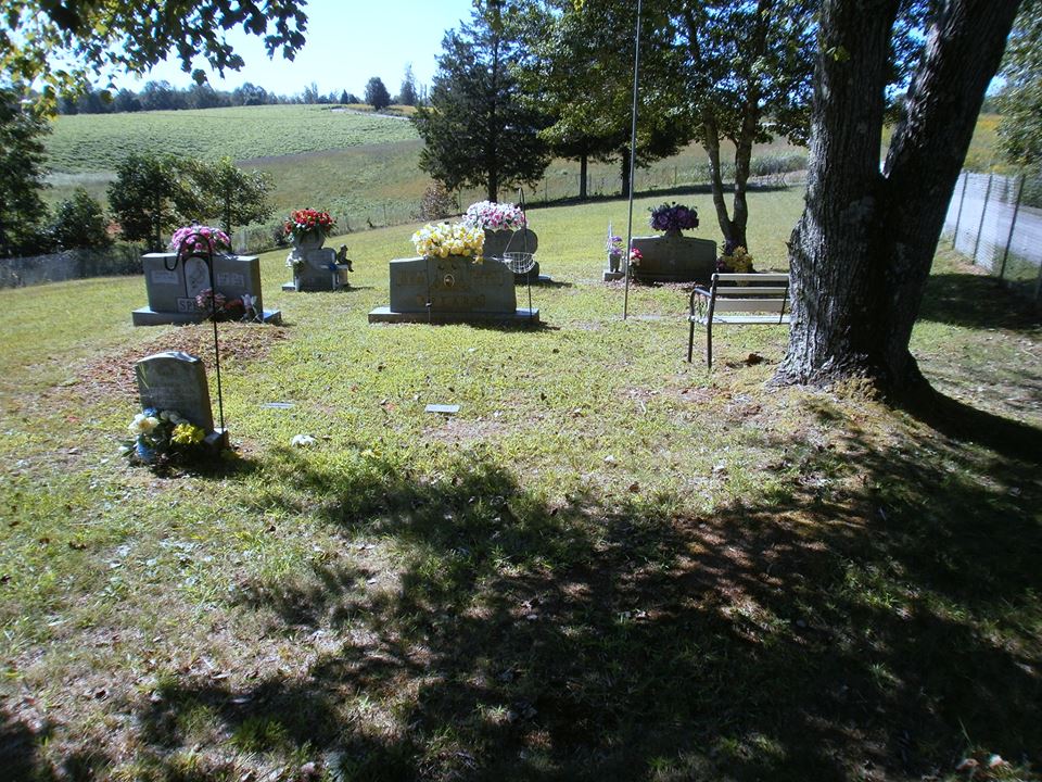
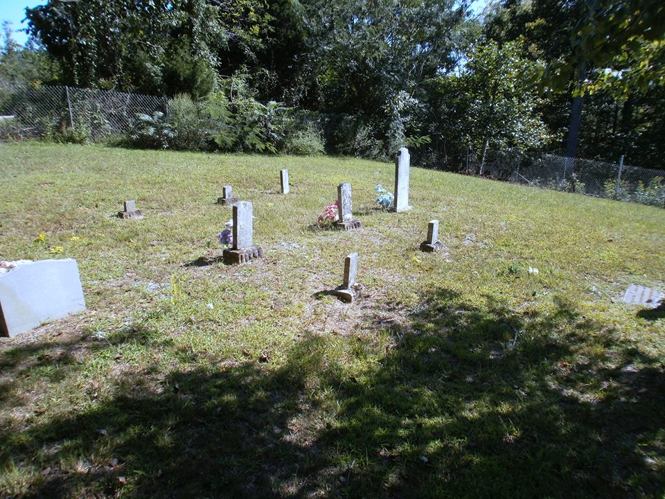
| Memorials | : | 1 |
| Location | : | Burkesville, Cumberland County, USA |
| Coordinate | : | 36.6304420, -85.3829600 |
frequently asked questions (FAQ):
-
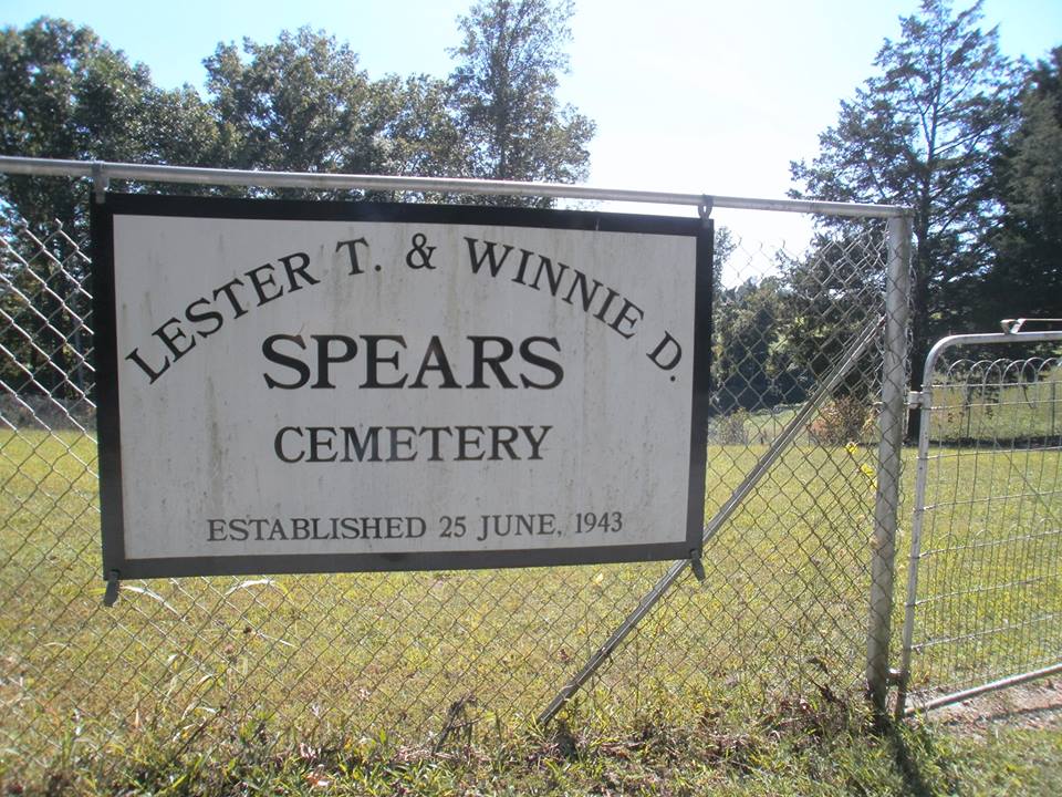
Where is Lester and Winnie Spears Cemetery?
Lester and Winnie Spears Cemetery is located at 809 Dulworth Rd. Burksville Burkesville, Cumberland County ,Kentucky , 42717USA.
-
Lester and Winnie Spears Cemetery cemetery's updated grave count on graveviews.com?
1 memorials
-
Where are the coordinates of the Lester and Winnie Spears Cemetery?
Latitude: 36.6304420
Longitude: -85.3829600
Nearby Cemetories:
1. Dulworth Cemetery
Cumberland County, USA
Coordinate: 36.6292100, -85.3757900
2. Peyton Spear Cemetery
Peytonsburg, Cumberland County, USA
Coordinate: 36.6481590, -85.3778400
3. Riley Cemetery
Littrell, Cumberland County, USA
Coordinate: 36.6509768, -85.3853975
4. Spears Chapel Cemetery
Peytonsburg, Cumberland County, USA
Coordinate: 36.6495790, -85.3714410
5. Long Cemetery #1
Peytonsburg, Cumberland County, USA
Coordinate: 36.6380997, -85.3522034
6. Pruitt Cemetery
Peytonsburg, Cumberland County, USA
Coordinate: 36.6571270, -85.3874590
7. Williams Cemetery
Pea Ridge, Clay County, USA
Coordinate: 36.6150017, -85.4169006
8. Smith Cemetery
Monroe County, USA
Coordinate: 36.6439881, -85.4203414
9. Rock Springs Cemetery
Celina, Clay County, USA
Coordinate: 36.6096992, -85.4167023
10. Killman Cemetery
Ashlock, Cumberland County, USA
Coordinate: 36.6325850, -85.4256430
11. Groce Cemetery
Cumberland County, USA
Coordinate: 36.6546310, -85.3496130
12. Thompson Webb Cemetery
Celina, Clay County, USA
Coordinate: 36.6090110, -85.4202270
13. Ashlock Cemetery
Ashlock, Cumberland County, USA
Coordinate: 36.6208380, -85.4283620
14. Crossroads Cemetery
Clay County, USA
Coordinate: 36.6074982, -85.4210968
15. Capps-Key Cemetery
Burkesville, Cumberland County, USA
Coordinate: 36.6605280, -85.4129330
16. Coop-Jennings Cemetery
Cumberland County, USA
Coordinate: 36.6693330, -85.3690650
17. Poplar Grove Cemetery
Kettle, Cumberland County, USA
Coordinate: 36.6680090, -85.4074180
18. Hattie's Houses Cemetery
Pea Ridge, Clay County, USA
Coordinate: 36.6159200, -85.4360040
19. Mullins - Kerr Cemetery
Pea Ridge, Clay County, USA
Coordinate: 36.5951330, -85.4317470
20. Donaldson Cemetery
Pea Ridge, Clay County, USA
Coordinate: 36.5952988, -85.4424973
21. Short's Chapel Cemetery
Monroe County, USA
Coordinate: 36.6281013, -85.4589005
22. Christian Chapel Cemetery
Peytonsburg, Cumberland County, USA
Coordinate: 36.6892330, -85.3599200
23. Clark Cemetery
Cumberland County, USA
Coordinate: 36.6916667, -85.3550000
24. Bowe Cemetery
Pea Ridge, Clay County, USA
Coordinate: 36.5833015, -85.4439011