
| Memorials | : | 2 |
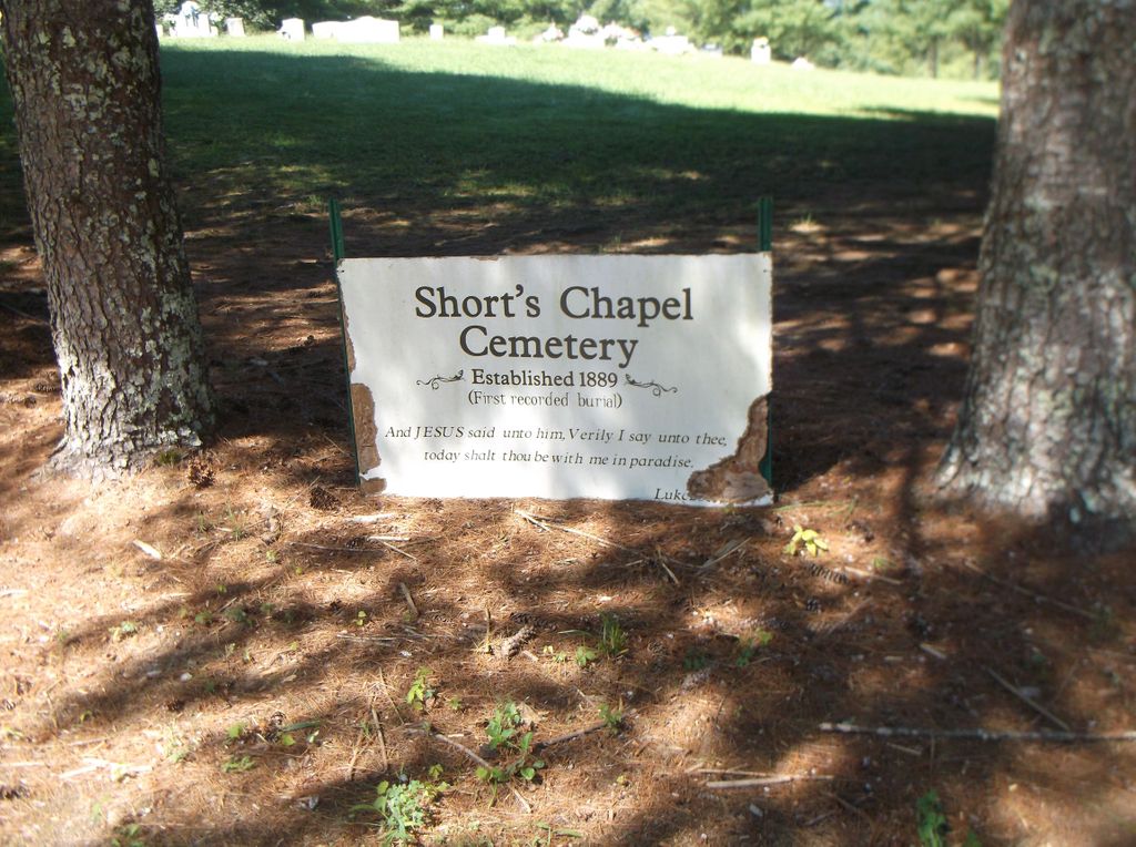
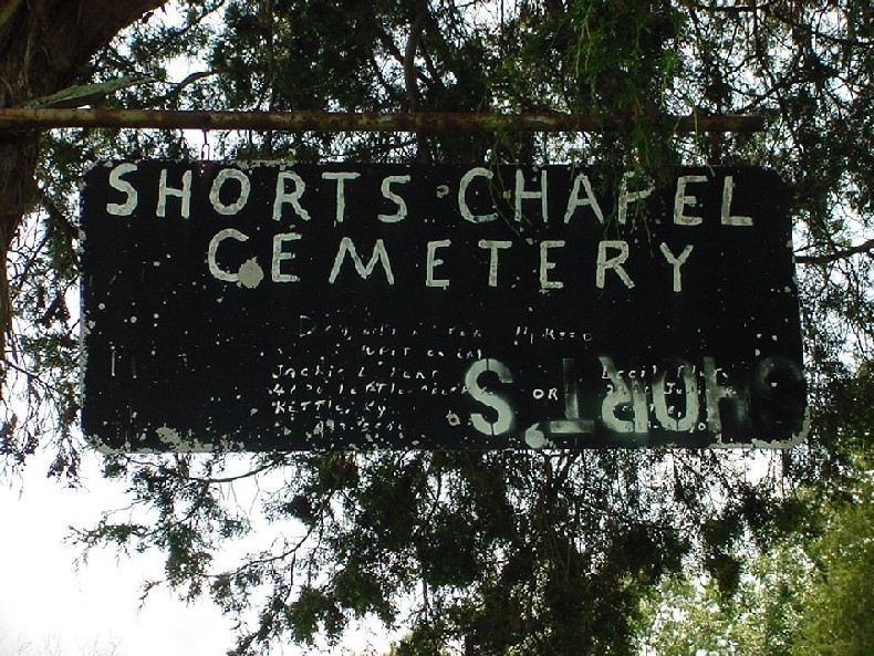
| Location | : | Monroe County, USA |
| Coordinate | : | 36.6281013, -85.4589005 |
frequently asked questions (FAQ):
-
Where is Short's Chapel Cemetery?
Short's Chapel Cemetery is located at Monroe County ,Kentucky ,USA.
-
Short's Chapel Cemetery cemetery's updated grave count on graveviews.com?
2 memorials
-
Where are the coordinates of the Short's Chapel Cemetery?
Latitude: 36.6281013
Longitude: -85.4589005
Nearby Cemetories:
1. Thompson Cemetery
Clay County, USA
Coordinate: 36.6123700, -85.4666600
2. Hattie's Houses Cemetery
Pea Ridge, Clay County, USA
Coordinate: 36.6159200, -85.4360040
3. Ashlock Cemetery
Ashlock, Cumberland County, USA
Coordinate: 36.6208380, -85.4283620
4. Killman Cemetery
Ashlock, Cumberland County, USA
Coordinate: 36.6325850, -85.4256430
5. Grover Rich Cemetery
Pea Ridge, Clay County, USA
Coordinate: 36.5946370, -85.4602970
6. Long Cemetery #2
Judio, Cumberland County, USA
Coordinate: 36.6622009, -85.4582977
7. Smith Cemetery
Monroe County, USA
Coordinate: 36.6439881, -85.4203414
8. Donaldson Cemetery
Pea Ridge, Clay County, USA
Coordinate: 36.5952988, -85.4424973
9. Sims Cemetery
Vernon, Monroe County, USA
Coordinate: 36.6413147, -85.4999328
10. Williams Cemetery
Pea Ridge, Clay County, USA
Coordinate: 36.6150017, -85.4169006
11. Thompson Webb Cemetery
Celina, Clay County, USA
Coordinate: 36.6090110, -85.4202270
12. Crossroads Cemetery
Clay County, USA
Coordinate: 36.6074982, -85.4210968
13. Rock Springs Cemetery
Celina, Clay County, USA
Coordinate: 36.6096992, -85.4167023
14. Mullins - Kerr Cemetery
Pea Ridge, Clay County, USA
Coordinate: 36.5951330, -85.4317470
15. Key Cemetery
Pea Ridge, Clay County, USA
Coordinate: 36.5875015, -85.4518967
16. Ray Williams Cemetery
Pea Ridge, Clay County, USA
Coordinate: 36.5856130, -85.4598120
17. Edens-Smith Cemetery
Clay County, USA
Coordinate: 36.5979390, -85.4976300
18. Crawford Cemetery
Celina, Clay County, USA
Coordinate: 36.5979660, -85.4976660
19. Bowe Cemetery
Pea Ridge, Clay County, USA
Coordinate: 36.5833015, -85.4439011
20. Jones Cemetery
Coe, Monroe County, USA
Coordinate: 36.6641998, -85.4955978
21. Coe Ridge Cemetery
Cumberland County, USA
Coordinate: 36.6746510, -85.4622650
22. Capps-Key Cemetery
Burkesville, Cumberland County, USA
Coordinate: 36.6605280, -85.4129330
23. Stephens Cemetery
Monroe County, USA
Coordinate: 36.6314011, -85.5252991
24. Poplar Grove Cemetery
Kettle, Cumberland County, USA
Coordinate: 36.6680090, -85.4074180