| Memorials | : | 9 |
| Location | : | Neillsville, Clark County, USA |
| Coordinate | : | 44.4866982, -90.5999985 |
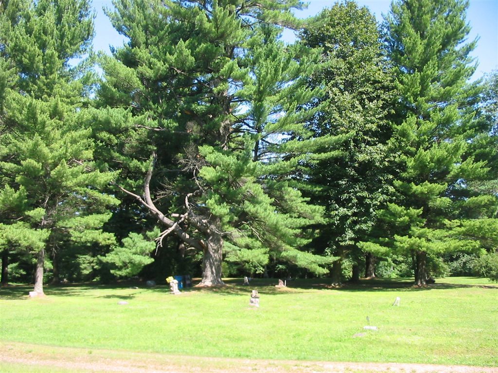
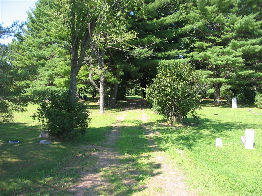
| Description | : | Approximately 4.7 miles south of Neillsville in the township of Levis. On the west side of State Highway 95, 0.5 miles north of Pineview Road. All readable grave stones have been entered and photographed as of September 2013. Another same-named Levis Cemetery is located in nearby Jackson County. |
frequently asked questions (FAQ):
-
Where is Levis Cemetery?
Levis Cemetery is located at Neillsville, Clark County ,Wisconsin ,USA.
-
Levis Cemetery cemetery's updated grave count on graveviews.com?
9 memorials
-
Where are the coordinates of the Levis Cemetery?
Latitude: 44.4866982
Longitude: -90.5999985
Nearby Cemetories:
1. Dells Dam Cemetery
Neillsville, Clark County, USA
Coordinate: 44.4757996, -90.6594009
2. South Pine Valley Cemetery
Columbia, Clark County, USA
Coordinate: 44.5209590, -90.6646620
3. Dewey Mike Cemetery
Neillsville, Clark County, USA
Coordinate: 44.4436989, -90.6753006
4. Neillsville City Cemetery
Neillsville, Clark County, USA
Coordinate: 44.5679321, -90.5836639
5. Saint Marys Cemetery
Neillsville, Clark County, USA
Coordinate: 44.5681000, -90.5847015
6. Columbia Cemetery
Columbia, Clark County, USA
Coordinate: 44.5238991, -90.7091980
7. Lone Grave Cemetery
Dewhurst, Clark County, USA
Coordinate: 44.5096893, -90.7201309
8. Grant Cemetery
Granton, Clark County, USA
Coordinate: 44.5592995, -90.4895020
9. North Pine Valley Cemetery
Neillsville, Clark County, USA
Coordinate: 44.5896988, -90.6528015
10. Clark County Poor Farm Cemetery
Granton, Clark County, USA
Coordinate: 44.6036800, -90.5364700
11. Hatfield Cemetery
Hatfield, Jackson County, USA
Coordinate: 44.4131012, -90.7427979
12. Komensky Cemetery
Hatfield, Jackson County, USA
Coordinate: 44.3758011, -90.6905975
13. Zion American Lutheran Cemetery
Granton, Clark County, USA
Coordinate: 44.5681000, -90.4516983
14. Zion Cemetery
Granton, Clark County, USA
Coordinate: 44.5830994, -90.4542007
15. Windfall Cemetery
Granton, Clark County, USA
Coordinate: 44.5946999, -90.4569016
16. Pine Grove Mennonite Cemetery
Granton, Clark County, USA
Coordinate: 44.5957590, -90.4560200
17. West Weston Cemetery
Globe, Clark County, USA
Coordinate: 44.6394005, -90.6588974
18. Chapel Hill Cemetery
Christie, Clark County, USA
Coordinate: 44.6467018, -90.6181030
19. York Center Cemetery
Granton, Clark County, USA
Coordinate: 44.6321983, -90.5000000
20. Globe Lutheran Cemetery
Globe, Clark County, USA
Coordinate: 44.6552000, -90.6636000
21. Oakwood Cemetery
Merrillan, Jackson County, USA
Coordinate: 44.4457016, -90.8386002
22. Lynn Cemetery
Lynn, Clark County, USA
Coordinate: 44.5816994, -90.3906021
23. Decorah Cemetery
Black River Falls, Jackson County, USA
Coordinate: 44.3497009, -90.7611008
24. Sherwood Cemetery
Sherwood, Clark County, USA
Coordinate: 44.4669300, -90.3503900


