| Memorials | : | 235 |
| Location | : | Neillsville, Clark County, USA |
| Coordinate | : | 44.5679321, -90.5836639 |
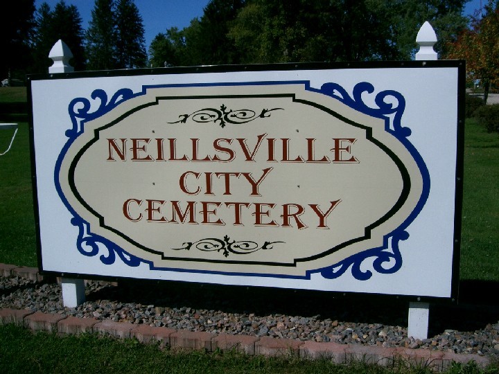
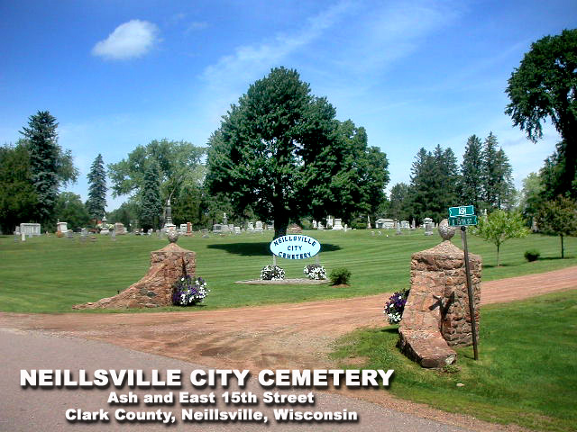
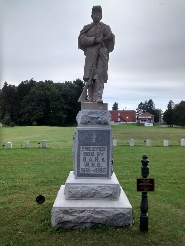
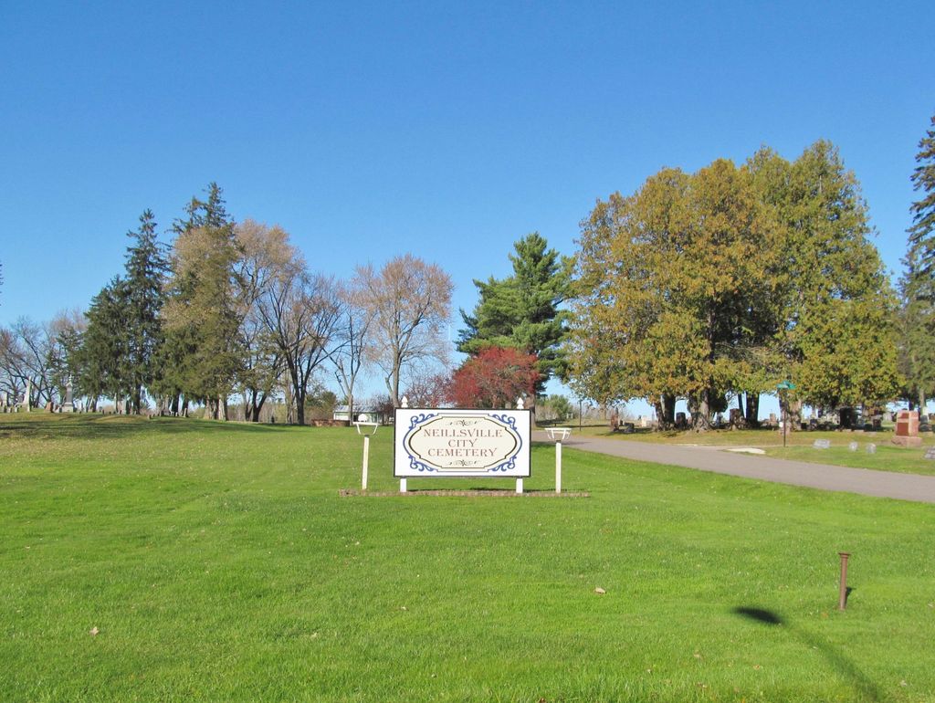
| Description | : | The cemetery consists of 34.5 acres of former rolling farmland. Currently, the platted area encompasses 19.2 acres. The first recorded burials pre-date both the cemetery platting and the City of Neillsville’s incorporation in 1882. As the cemetery grew from the original site in 1870, plots were added in 1890, 1899, 1910, 1927, and 1969, creating a very pleasant pastoral view of the wildlife that passes through. The western end of the cemetery (original plat), with its canopy of big oaks, large granite headstones, mausoleum, and veterans’ graves, provides a step back into the City of Neillsville’s... Read More |
frequently asked questions (FAQ):
-
Where is Neillsville City Cemetery?
Neillsville City Cemetery is located at Neillsville, Clark County ,Wisconsin ,USA.
-
Neillsville City Cemetery cemetery's updated grave count on graveviews.com?
234 memorials
-
Where are the coordinates of the Neillsville City Cemetery?
Latitude: 44.5679321
Longitude: -90.5836639
Nearby Cemetories:
1. Saint Marys Cemetery
Neillsville, Clark County, USA
Coordinate: 44.5681000, -90.5847015
2. Clark County Poor Farm Cemetery
Granton, Clark County, USA
Coordinate: 44.6036800, -90.5364700
3. North Pine Valley Cemetery
Neillsville, Clark County, USA
Coordinate: 44.5896988, -90.6528015
4. Grant Cemetery
Granton, Clark County, USA
Coordinate: 44.5592995, -90.4895020
5. South Pine Valley Cemetery
Columbia, Clark County, USA
Coordinate: 44.5209590, -90.6646620
6. Levis Cemetery
Neillsville, Clark County, USA
Coordinate: 44.4866982, -90.5999985
7. Chapel Hill Cemetery
Christie, Clark County, USA
Coordinate: 44.6467018, -90.6181030
8. York Center Cemetery
Granton, Clark County, USA
Coordinate: 44.6321983, -90.5000000
9. West Weston Cemetery
Globe, Clark County, USA
Coordinate: 44.6394005, -90.6588974
10. Zion Cemetery
Granton, Clark County, USA
Coordinate: 44.5830994, -90.4542007
11. Zion American Lutheran Cemetery
Granton, Clark County, USA
Coordinate: 44.5681000, -90.4516983
12. Windfall Cemetery
Granton, Clark County, USA
Coordinate: 44.5946999, -90.4569016
13. Pine Grove Mennonite Cemetery
Granton, Clark County, USA
Coordinate: 44.5957590, -90.4560200
14. Columbia Cemetery
Columbia, Clark County, USA
Coordinate: 44.5238991, -90.7091980
15. Globe Lutheran Cemetery
Globe, Clark County, USA
Coordinate: 44.6552000, -90.6636000
16. Free Methodist Cemetery
Granton, Clark County, USA
Coordinate: 44.6546600, -90.5018000
17. Dells Dam Cemetery
Neillsville, Clark County, USA
Coordinate: 44.4757996, -90.6594009
18. Lone Grave Cemetery
Dewhurst, Clark County, USA
Coordinate: 44.5096893, -90.7201309
19. Lynn Cemetery
Lynn, Clark County, USA
Coordinate: 44.5816994, -90.3906021
20. Dewey Mike Cemetery
Neillsville, Clark County, USA
Coordinate: 44.4436989, -90.6753006
21. Seif Cemetery
Willard, Clark County, USA
Coordinate: 44.6688995, -90.7407990
22. Immanuel United Methodist Church Cemetery
Chili, Clark County, USA
Coordinate: 44.6128006, -90.3764038
23. Granton Amish Community Cemetery
Granton, Clark County, USA
Coordinate: 44.5838900, -90.3663800
24. Yolo Cemetery
Chili, Clark County, USA
Coordinate: 44.6185989, -90.3758011


