| Memorials | : | 0 |
| Location | : | Gibbs Township, Johnston County, USA |
| Coordinate | : | 34.4206370, -96.8686350 |
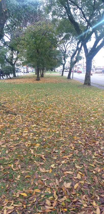
| Description | : | Section 34 Township 1S Range 4E Go six miles south from Sulphur on US 177 to Cyrus Harris Road/Old Mill Creek Road. Turn east and continue for six miles to Frisco Road. Turn north for one mile to Colvert Lane/N3448. Turn west and continue about one mile. The road will turn north into what appears to be an open gate. Go north past the gate for about 0.2 miles. There will be two gates side by side on the left. The graves will be in a grove of trees to the west in the private pasture of the... Read More |
frequently asked questions (FAQ):
-
Where is Lewis Harris Cemetery?
Lewis Harris Cemetery is located at N3448 Road/Colvert Lane Gibbs Township, Johnston County ,Oklahoma , 74856USA.
-
Lewis Harris Cemetery cemetery's updated grave count on graveviews.com?
0 memorials
-
Where are the coordinates of the Lewis Harris Cemetery?
Latitude: 34.4206370
Longitude: -96.8686350
Nearby Cemetories:
1. Mill Creek Cemetery
Mill Creek, Johnston County, USA
Coordinate: 34.4043999, -96.8069000
2. William Taylor Grave
Sulphur, Murray County, USA
Coordinate: 34.4230560, -96.9502780
3. Fletcher Cemetery
Murray County, USA
Coordinate: 34.4886017, -96.8906021
4. Lowrance Cemetery
Murray County, USA
Coordinate: 34.4602400, -96.9448800
5. Buckhorn Cemetery
Sulphur, Murray County, USA
Coordinate: 34.4622002, -96.9511032
6. Drake-Nebo Cemetery
Drake, Murray County, USA
Coordinate: 34.3897018, -96.9728012
7. Scullin Cemetery
Scullin, Murray County, USA
Coordinate: 34.5209200, -96.8651200
8. Greenwood Cemetery
Johnston County, USA
Coordinate: 34.3605995, -96.7481003
9. Troy Cemetery
Troy, Johnston County, USA
Coordinate: 34.3252950, -96.7784610
10. Hickory Cemetery
Hickory, Murray County, USA
Coordinate: 34.5539017, -96.8683014
11. Goddard Cemetery
Gene Autry, Carter County, USA
Coordinate: 34.3073570, -96.9633280
12. Big Canyon Cemetery
Murray County, USA
Coordinate: 34.3630981, -97.0255966
13. Shirley Family Cemetery
Murray County, USA
Coordinate: 34.5410520, -96.9600990
14. Ramer Cemetery
Sulphur, Murray County, USA
Coordinate: 34.5438890, -96.9563890
15. Oil Springs Cemetery
Carter County, USA
Coordinate: 34.3072100, -96.9764000
16. Dougherty Cemetery
Dougherty, Murray County, USA
Coordinate: 34.3993200, -97.0425000
17. Anvil Rock Cemetery
Reagan, Johnston County, USA
Coordinate: 34.3225000, -96.7325000
18. Young Cemetery
Gene Autry, Carter County, USA
Coordinate: 34.2969017, -96.9760971
19. Oaklawn Cemetery
Leeper Township, Murray County, USA
Coordinate: 34.5469017, -96.9822006
20. Henderson Cemetery
Gene Autry, Carter County, USA
Coordinate: 34.3168983, -97.0117035
21. Palmer Cemetery
Sulphur, Murray County, USA
Coordinate: 34.5668983, -96.9505997
22. Hutchins Cemetery
Baum, Carter County, USA
Coordinate: 34.2712631, -96.9771805
23. Calvary Cemetery
Gene Autry, Carter County, USA
Coordinate: 34.3213150, -97.0451350
24. Lone Cedar Cemetery
Johnston County, USA
Coordinate: 34.2502460, -96.9287830

