
| Memorials | : | 2 |
| Location | : | Johnston County, USA |
| Coordinate | : | 34.2502460, -96.9287830 |
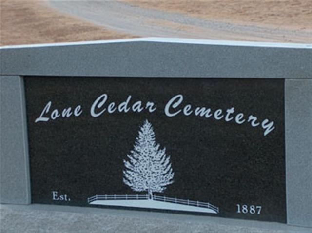
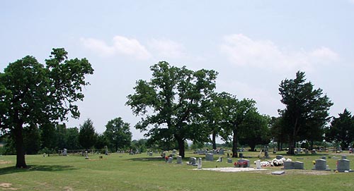
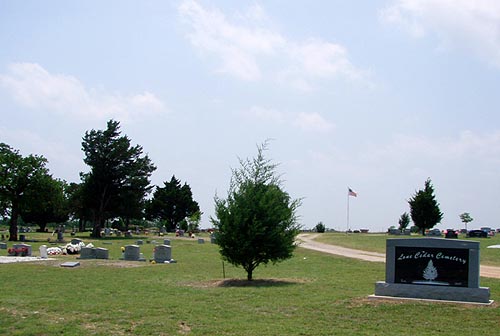
| Description | : | Lone Cedar Cemetery is east/southeast of Gene Autry and Springer and northwest of Mannsville. The cemetery is located in Johnston County, close to the border with Carter County. |
frequently asked questions (FAQ):
-
Where is Lone Cedar Cemetery?
Lone Cedar Cemetery is located at Johnston County ,Oklahoma ,USA.
-
Lone Cedar Cemetery cemetery's updated grave count on graveviews.com?
2 memorials
-
Where are the coordinates of the Lone Cedar Cemetery?
Latitude: 34.2502460
Longitude: -96.9287830
Nearby Cemetories:
1. Thomas Cemetery
Baum, Carter County, USA
Coordinate: 34.2449989, -96.9672012
2. Earl Cemetery
Earl, Johnston County, USA
Coordinate: 34.2327995, -96.8835983
3. Hutchins Cemetery
Baum, Carter County, USA
Coordinate: 34.2712631, -96.9771805
4. Young Cemetery
Gene Autry, Carter County, USA
Coordinate: 34.2969017, -96.9760971
5. Goddard Cemetery
Gene Autry, Carter County, USA
Coordinate: 34.3073570, -96.9633280
6. Norton Cemetery
Mannsville, Johnston County, USA
Coordinate: 34.2320360, -96.8531010
7. Oil Springs Cemetery
Carter County, USA
Coordinate: 34.3072100, -96.9764000
8. Mount Pleasant Cemetery
Gene Autry, Carter County, USA
Coordinate: 34.2517014, -97.0180969
9. Nelda Cemetery
Durwood, Carter County, USA
Coordinate: 34.1749992, -96.9578018
10. Mannsville Cemetery
Mannsville, Johnston County, USA
Coordinate: 34.1896300, -96.8638710
11. Old Mannsville Cemetery
Johnston County, USA
Coordinate: 34.1868200, -96.8629800
12. Rollins Cemetery
Simpson, Marshall County, USA
Coordinate: 34.1643982, -96.9011002
13. Big Branch Cemetery
Carter County, USA
Coordinate: 34.2910995, -97.0307999
14. Durwood Cemetery
Madill, Marshall County, USA
Coordinate: 34.1565700, -96.9430200
15. Henderson Cemetery
Gene Autry, Carter County, USA
Coordinate: 34.3168983, -97.0117035
16. Berwyn Cemetery
Gene Autry, Carter County, USA
Coordinate: 34.2848015, -97.0421982
17. Old Berwyn Cemetery
Gene Autry, Carter County, USA
Coordinate: 34.2909775, -97.0420685
18. Calvary Cemetery
Gene Autry, Carter County, USA
Coordinate: 34.3213150, -97.0451350
19. Russett Cemetery
Russett, Johnston County, USA
Coordinate: 34.1817017, -96.8094025
20. Provence Cemetery
Ardmore, Carter County, USA
Coordinate: 34.1549988, -97.0211029
21. Abramville Cemetery
Gene Autry, Carter County, USA
Coordinate: 34.2729000, -97.0752500
22. Cedar Hill Cemetery
Marshall County, USA
Coordinate: 34.1444016, -96.8450012
23. Pruitt Cemetery
Ardmore, Carter County, USA
Coordinate: 34.1974983, -97.0736008
24. Ravia Cemetery
Ravia, Johnston County, USA
Coordinate: 34.2390100, -96.7642300