
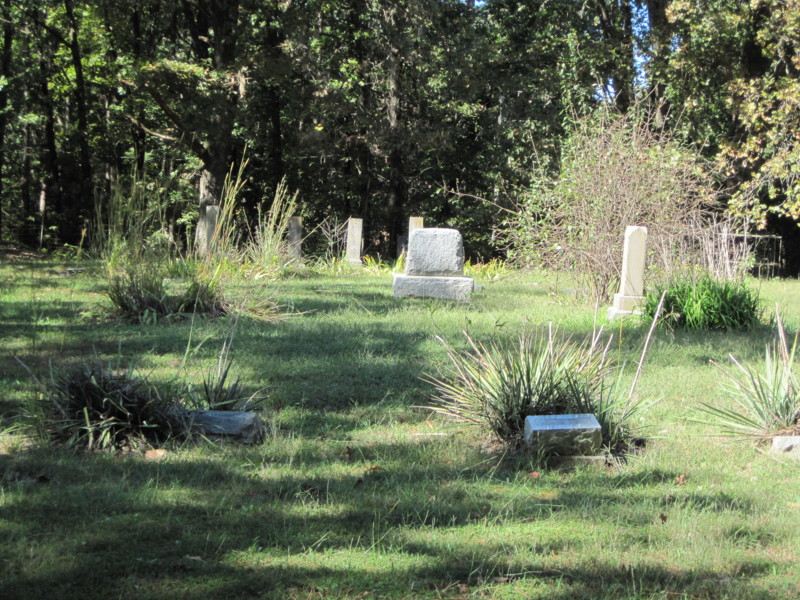
| Memorials | : | 0 |
| Location | : | Golden, Barry County, USA |
| Coordinate | : | 36.5000333, -93.6333500 |
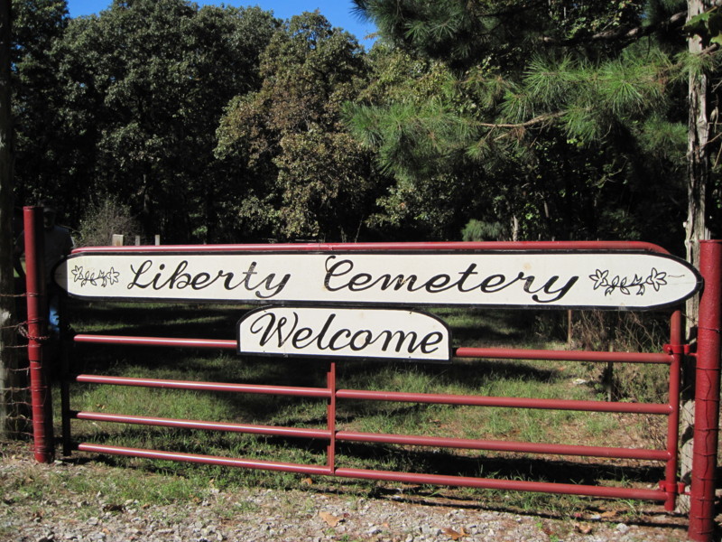
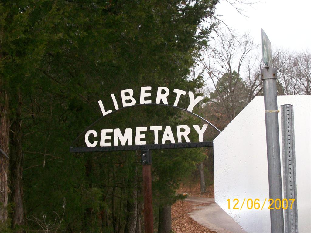
| Description | : | Directions: Take Farm Road 1247 off of 86. (If traveling East, this is about 1 1/2 miles East of Ball and Prior Tires and Shoemaker Tires in Golden. If traveling West it is about 4 miles West of Carr Lane) Farm Road 1247 is on the North side of the highway. (you will see a Liberty Cemetery sign as soon as you turn unto 1247.) Take the first road on the left side of 1247. This looks like a private drive (complete with a mail box) Stay to the right on this drive. ... Read More |
frequently asked questions (FAQ):
-
Where is Liberty Cemetery?
Liberty Cemetery is located at Golden, Barry County ,Missouri ,USA.
-
Liberty Cemetery cemetery's updated grave count on graveviews.com?
0 memorials
-
Where are the coordinates of the Liberty Cemetery?
Latitude: 36.5000333
Longitude: -93.6333500
Nearby Cemetories:
1. Thomas H. Morland Family Cemetery
Pleasant Ridge, Carroll County, USA
Coordinate: 36.4889200, -93.6254900
2. McGuire Cemetery
Shell Knob, Barry County, USA
Coordinate: 36.5317001, -93.5982971
3. Moreland Cemetery
Carroll County, USA
Coordinate: 36.4597015, -93.6168976
4. Marshall Cemetery
Carroll County, USA
Coordinate: 36.4738998, -93.5903015
5. Carr Cemetery
Carroll County, USA
Coordinate: 36.4880981, -93.5802994
6. Oak Hill Cemetery
Eureka Springs, Carroll County, USA
Coordinate: 36.4928017, -93.6903000
7. Viney Cemetery
Emerald Beach, Barry County, USA
Coordinate: 36.5531006, -93.6650009
8. Viney Creek Cemetery
Golden, Barry County, USA
Coordinate: 36.5532200, -93.6654830
9. Old Easley Cemetery
Golden, Barry County, USA
Coordinate: 36.5465110, -93.6807390
10. Roach Cemetery
Eagle Rock, Barry County, USA
Coordinate: 36.5149994, -93.7063980
11. Williams Cemetery
Berryville, Carroll County, USA
Coordinate: 36.4919014, -93.5558014
12. TB Jackson Homestead Cemetery
Grandview, Carroll County, USA
Coordinate: 36.4368400, -93.6469900
13. Grandview Cemetery
Grandview, Carroll County, USA
Coordinate: 36.4339750, -93.6291670
14. Rock Springs Cemetery
Eureka Springs, Carroll County, USA
Coordinate: 36.4261566, -93.6561856
15. Farwell Cemetery
Eagle Rock, Barry County, USA
Coordinate: 36.5258000, -93.7286000
16. Viola Cemetery
Barry County, USA
Coordinate: 36.5774841, -93.5900192
17. Holiday Island Memorial Garden
Eureka Springs, Carroll County, USA
Coordinate: 36.4920750, -93.7386220
18. High Cemetery
Berryville, Carroll County, USA
Coordinate: 36.4733000, -93.5317000
19. Presbyterian Church and Cemetery
Holiday Island, Carroll County, USA
Coordinate: 36.4907200, -93.7409700
20. Old Haddock Cemetery
Eagle Rock, Barry County, USA
Coordinate: 36.5222500, -93.7473667
21. Brock School Cemetery
Shell Knob, Barry County, USA
Coordinate: 36.5935400, -93.6497700
22. Lake Park Memorial Gardens
Shell Knob, Barry County, USA
Coordinate: 36.5915600, -93.6030000
23. Easley Cemetery
Eagle Rock, Barry County, USA
Coordinate: 36.5497017, -93.7363968
24. Mano Cemetery
Mano, Barry County, USA
Coordinate: 36.5850100, -93.7004200