
| Memorials | : | 44 |
| Location | : | Lick Creek, Benton County, USA |
| Coordinate | : | 36.3436012, -88.0727997 |
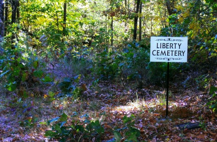
| Description | : | Liberty Cemetery is located within the Tennessee National Wildlife Refuge approximately 1/3 mile north of Poplar Creek. From Big Sandy take Lick Creek Rd approximately 10 miles to New Hope Rd and turn left. Stay on New Hope Rd for approximately 1 1/2 miles to the top of the ridge and turn right onto a private road located on Westvaco's property. Travel on this road approximately 1 1/2 miles entering the Wildlife Refuge ending at the cemetery. |
frequently asked questions (FAQ):
-
Where is Liberty Cemetery?
Liberty Cemetery is located at Lick Creek, Benton County ,Tennessee ,USA.
-
Liberty Cemetery cemetery's updated grave count on graveviews.com?
44 memorials
-
Where are the coordinates of the Liberty Cemetery?
Latitude: 36.3436012
Longitude: -88.0727997
Nearby Cemetories:
1. Oak Hill Church Cemetery
Benton County, USA
Coordinate: 36.3325890, -88.0643370
2. Evans Cemetery
Lick Creek, Benton County, USA
Coordinate: 36.3545670, -88.0823190
3. Dortch Cemetery
Big Sandy, Benton County, USA
Coordinate: 36.3303010, -88.0764280
4. Leegan Cemetery
Benton County, USA
Coordinate: 36.3292590, -88.0784920
5. Bond-Limekiln Cemetery
Henry County, USA
Coordinate: 36.3367004, -88.0991974
6. Medlock Cemetery
Big Sandy, Benton County, USA
Coordinate: 36.3210000, -88.0799320
7. Culpepper Cemetery
Henry County, USA
Coordinate: 36.3717003, -88.0714035
8. Mount Zion Cemetery
Henry County, USA
Coordinate: 36.3710830, -88.0424900
9. Fairview Cemetery
Henry County, USA
Coordinate: 36.3841920, -88.0505820
10. Pierce Cemetery
Big Sandy, Benton County, USA
Coordinate: 36.2972060, -88.0789180
11. Lick Creek Church Cemetery
Big Sandy, Benton County, USA
Coordinate: 36.3214910, -88.0213010
12. Stockdale Cemetery
Big Sandy, Benton County, USA
Coordinate: 36.3243550, -88.0177690
13. Chick Cemetery
Henry County, USA
Coordinate: 36.3586006, -88.1324997
14. Baker Cheatham Cemetery
Henry County, USA
Coordinate: 36.3889800, -88.0434870
15. Walker Cemetery #2
Springville, Henry County, USA
Coordinate: 36.3643510, -88.1313370
16. Precinct Cemetery
Big Sandy, Benton County, USA
Coordinate: 36.3009500, -88.0284500
17. Ralls Cemetery
Lick Creek, Benton County, USA
Coordinate: 36.3398060, -88.0004690
18. Hopkins Cemetery
Oak Grove, Henry County, USA
Coordinate: 36.3759680, -88.1336650
19. Brannon Cemetery
Henry County, USA
Coordinate: 36.3986015, -88.0994034
20. Herndon Cemetery
Big Sandy, Benton County, USA
Coordinate: 36.3234460, -88.0032510
21. Daniel Cemetery
Benton County, USA
Coordinate: 36.3235970, -88.0031586
22. Bucy Cemetery
Henry County, USA
Coordinate: 36.2860985, -88.1010971
23. Bradford 189
Henry County, USA
Coordinate: 36.3699667, -88.1424000
24. Mount Carmel Congregational Methodist Church Cemet
Big Sandy, Benton County, USA
Coordinate: 36.2869850, -88.0377230