
| Memorials | : | 0 |
| Location | : | Wilmot, Stark County, USA |
| Coordinate | : | 40.6545660, -81.6445410 |
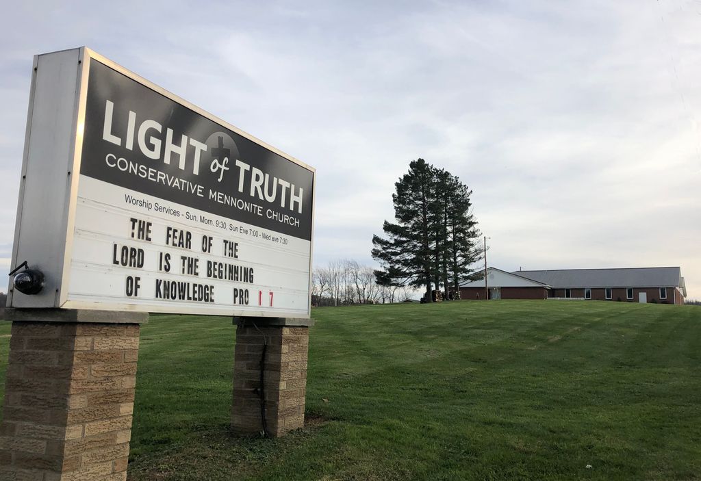
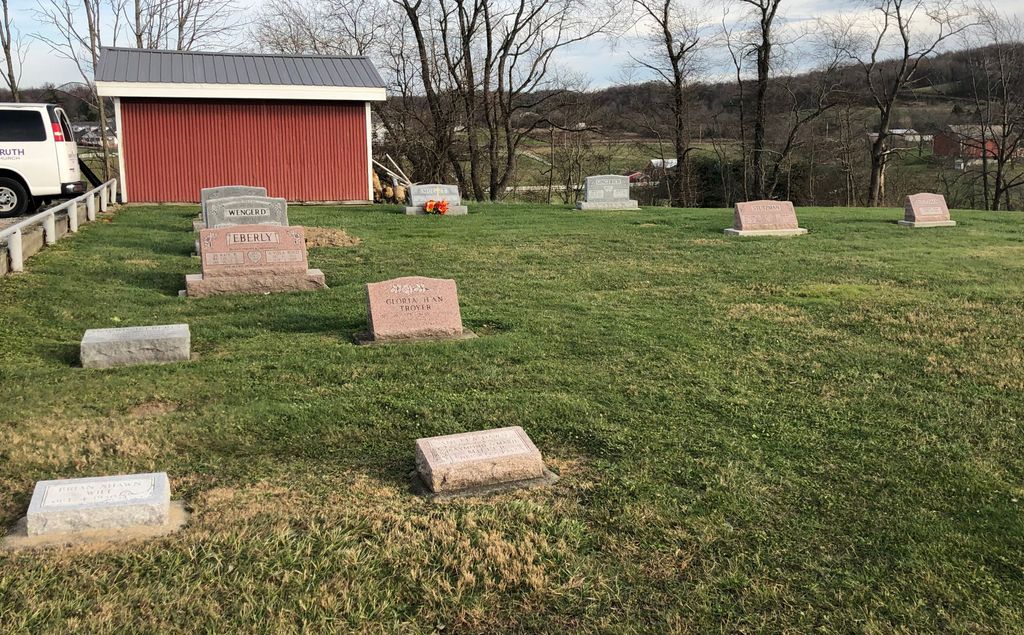
| Description | : | The cemetery is located on the south side of Navarre Road SW (US 62) about 0.4 miles west of its intersection with Lawnford Avenue. The cemetery is located in Sugar Creek Township, Stark County, Ohio, and is # 11432 (Gospel Light Cemetery) in “Ohio Cemeteries 1803-2003”, compiled by the Ohio Genealogical Society. |
frequently asked questions (FAQ):
-
Where is Light of Truth Mennonite Church Cemetery?
Light of Truth Mennonite Church Cemetery is located at 14890 Navarre Road SW (US 62) Wilmot, Stark County ,Ohio , 44689USA.
-
Light of Truth Mennonite Church Cemetery cemetery's updated grave count on graveviews.com?
0 memorials
-
Where are the coordinates of the Light of Truth Mennonite Church Cemetery?
Latitude: 40.6545660
Longitude: -81.6445410
Nearby Cemetories:
1. Greenlawn Cemetery
Wilmot, Stark County, USA
Coordinate: 40.6583930, -81.6392925
2. Wilmot Cemetery
Wilmot, Stark County, USA
Coordinate: 40.6567300, -81.6304000
3. Beidler Cemetery
Paint Township, Holmes County, USA
Coordinate: 40.6472015, -81.6699982
4. Chestnut Ridge Cemetery
Dundee, Tuscarawas County, USA
Coordinate: 40.6286716, -81.6476262
5. Weimer Cemetery
Wilmot, Stark County, USA
Coordinate: 40.6627998, -81.6102982
6. Abe Hershberger Farm Cemetery
Dundee, Tuscarawas County, USA
Coordinate: 40.6299380, -81.6611130
7. Stephen Keim Farm Cemetery
Winesburg, Holmes County, USA
Coordinate: 40.6558610, -81.6818560
8. Keim Cemetery
Holmes County, USA
Coordinate: 40.6557999, -81.6819000
9. Foxfield Preserve Cemetery
Wilmot, Stark County, USA
Coordinate: 40.6819150, -81.6312930
10. Menno Miller Farm Cemetery
Mount Eaton, Wayne County, USA
Coordinate: 40.6844480, -81.6627220
11. Breninger Cemetery
Beach City, Stark County, USA
Coordinate: 40.6485550, -81.5981570
12. Christian Life Mennonite Church Cemetery
Beach City, Stark County, USA
Coordinate: 40.6448749, -81.5945619
13. Longenecker Mennonite Cemetery
Winesburg, Holmes County, USA
Coordinate: 40.6383930, -81.6948510
14. Baptist Cemetery
Brewster, Stark County, USA
Coordinate: 40.6918983, -81.6181030
15. Welty Cemetery
Brewster, Stark County, USA
Coordinate: 40.6856003, -81.5988998
16. Pleasant Grove Cemetery
Minerva, Stark County, USA
Coordinate: 40.7018190, -81.6339770
17. Orin Yoder Farm Cemetery
Dundee, Tuscarawas County, USA
Coordinate: 40.6059470, -81.6539030
18. Kohr Church Cemetery
Dundee, Tuscarawas County, USA
Coordinate: 40.6049950, -81.6248860
19. Simon Farm Cemetery
Mount Eaton, Wayne County, USA
Coordinate: 40.7068890, -81.6532220
20. Old German Evangelical Cemetery
Justus, Stark County, USA
Coordinate: 40.6764500, -81.5806500
21. Old Winesburg Cemetery
Winesburg, Holmes County, USA
Coordinate: 40.6160480, -81.6930160
22. Schenkelberg Cemetery
Winesburg, Holmes County, USA
Coordinate: 40.6295430, -81.7068100
23. South Lawn Cemetery
Beach City, Stark County, USA
Coordinate: 40.6492271, -81.5740128
24. Mount Eaton French and German Reformed Cemetery
Mount Eaton, Wayne County, USA
Coordinate: 40.6924440, -81.7001670