
| Memorials | : | 10 |
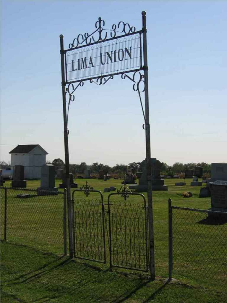
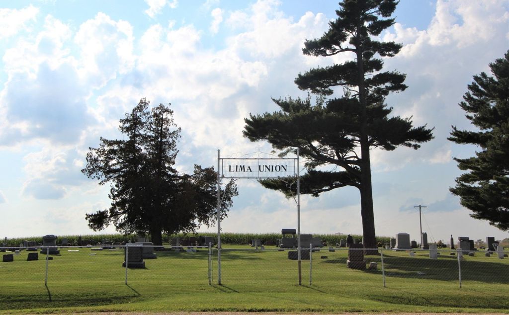
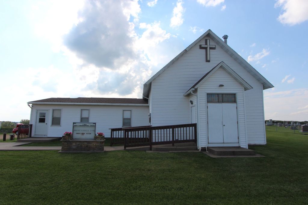
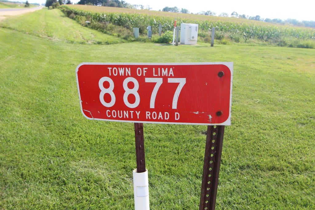
| Location | : | Lima, Grant County, USA |
| Coordinate | : | 42.8270000, -90.5266000 |
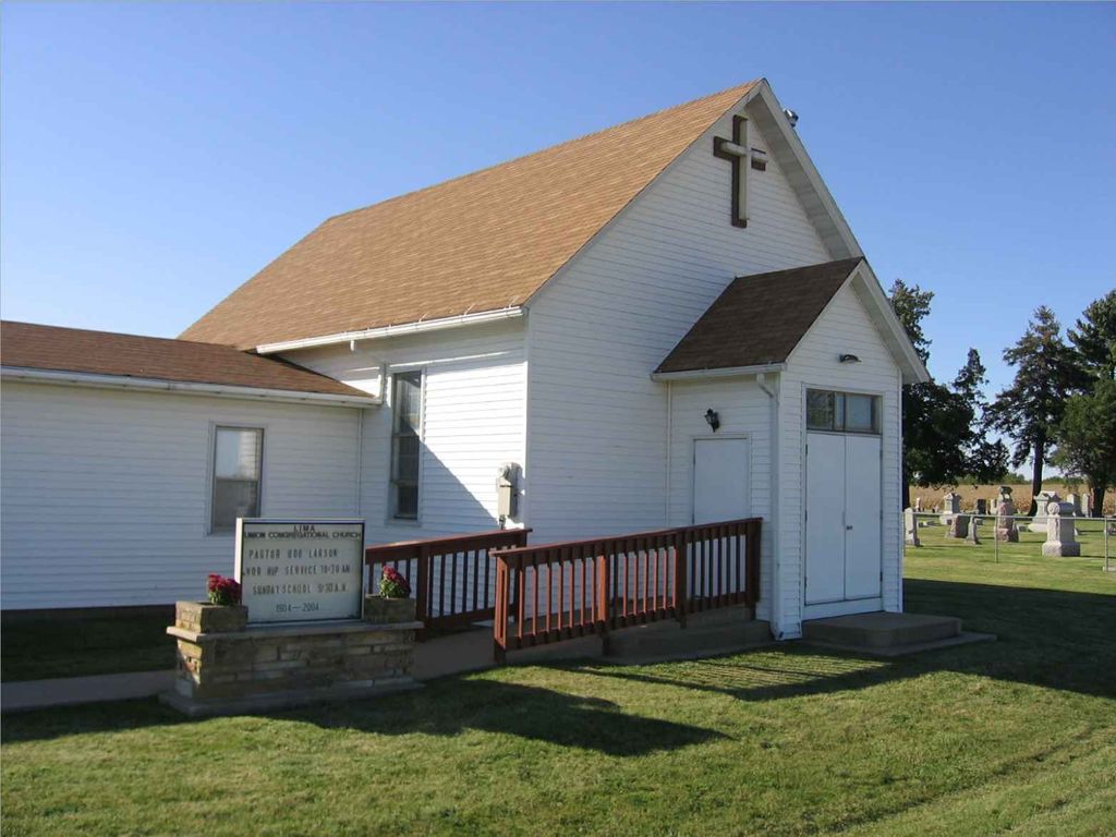
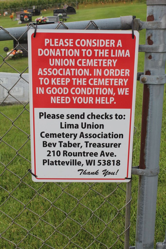
| Description | : | For more written documentation on this cemetery please contact the Grant County Genealogical Society in Lancaster, WI. We have reference information regarding marked and unmarked burials. www.grantcowigenealogicalsoc.org 129 East Maple Street, Lancaster, 53813 Phone: 608-723-4925 |
frequently asked questions (FAQ):
-
Where is Lima Union Cemetery?
Lima Union Cemetery is located at Lima, Grant County ,Wisconsin ,USA.
-
Lima Union Cemetery cemetery's updated grave count on graveviews.com?
10 memorials
-
Where are the coordinates of the Lima Union Cemetery?
Latitude: 42.8270000
Longitude: -90.5266000
Nearby Cemetories:
1. Willow Branch Mennonite Cemetery
Lancaster, Grant County, USA
Coordinate: 42.7986250, -90.5414980
2. Oak Ridge Cemetery
Union, Grant County, USA
Coordinate: 42.8386002, -90.5653000
3. Buck Wheat Ridge Cemetery
Ellenboro, Grant County, USA
Coordinate: 42.8199997, -90.5708008
4. Farview-Hake Cemetery
Union, Grant County, USA
Coordinate: 42.8638000, -90.5468400
5. Churchill Family Cemetery
Platteville, Grant County, USA
Coordinate: 42.7911677, -90.5005626
6. Arthur United Methodist Church Cemetery
Arthur, Grant County, USA
Coordinate: 42.8475860, -90.4454080
7. Nip and Tuck Cemetery
Arthur, Grant County, USA
Coordinate: 42.8283005, -90.4375000
8. McReynolds Cemetery
Arthur, Grant County, USA
Coordinate: 42.8246994, -90.4368973
9. Whig Cemetery
Platteville, Grant County, USA
Coordinate: 42.7611008, -90.5539017
10. Kirkpatrick Cemetery
Rewey, Iowa County, USA
Coordinate: 42.8244019, -90.4266968
11. Barnett Cemetery
Ellenboro, Grant County, USA
Coordinate: 42.7834972, -90.6120017
12. Barber Rhea Cemetery
Belmont, Lafayette County, USA
Coordinate: 42.8064700, -90.4187100
13. Ebenezer Cemetery
Mifflin, Iowa County, USA
Coordinate: 42.8703400, -90.4260200
14. Rock Church Cemetery
Livingston, Grant County, USA
Coordinate: 42.9043999, -90.4677963
15. Indian Park
Platteville, Grant County, USA
Coordinate: 42.7391700, -90.4768100
16. Aupperle Cemetery
Lancaster, Grant County, USA
Coordinate: 42.8130900, -90.6595900
17. Greenwood Cemetery
Platteville, Grant County, USA
Coordinate: 42.7313995, -90.4925003
18. Kaump Cemetery
Platteville, Grant County, USA
Coordinate: 42.7257996, -90.5622025
19. Hillside Cemetery
Platteville, Grant County, USA
Coordinate: 42.7257996, -90.4730988
20. Calvary Cemetery
Platteville, Grant County, USA
Coordinate: 42.7256012, -90.4710999
21. Harrison Cemetery
Platteville, Grant County, USA
Coordinate: 42.7257996, -90.5830994
22. Saint Pauls United Church of Christ Cemetery
Lancaster, Grant County, USA
Coordinate: 42.8890500, -90.6607270
23. Baily and McKinney Cemetery
Lancaster, Grant County, USA
Coordinate: 42.7891800, -90.6765100
24. Blakely Cemetery
British Hollow, Grant County, USA
Coordinate: 42.7224300, -90.5976100