
| Memorials | : | 0 |
| Location | : | Harrison County, USA |
| Coordinate | : | 41.5589200, -95.7502100 |
frequently asked questions (FAQ):
-
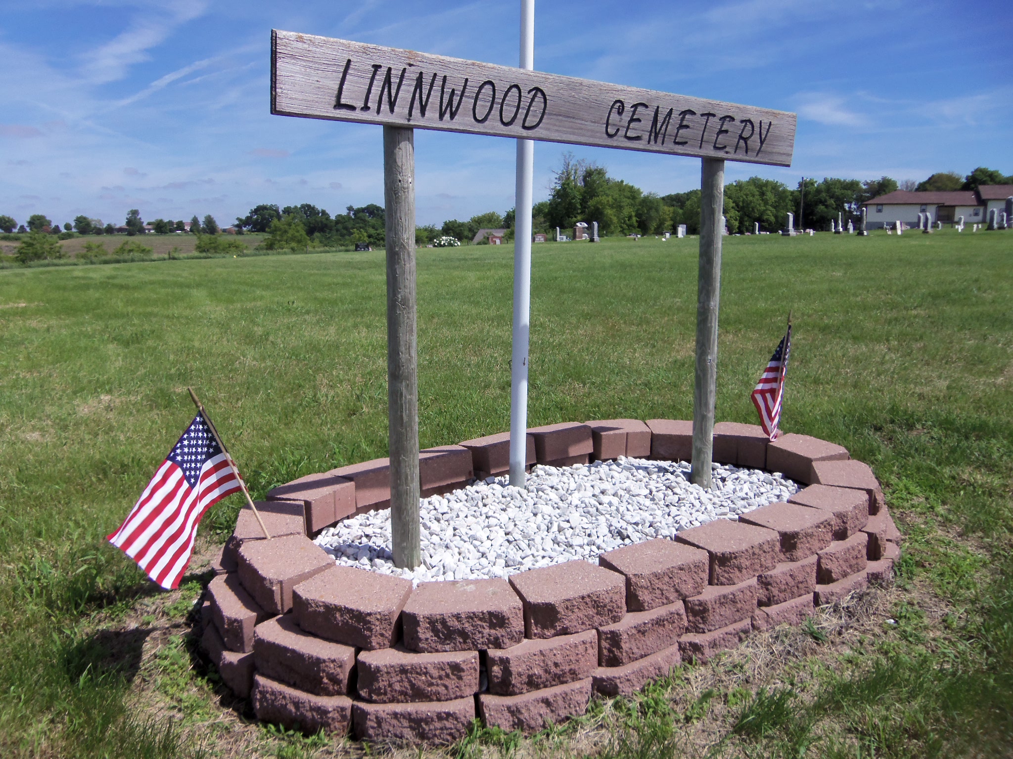
Where is Linnwood Cemetery?
Linnwood Cemetery is located at Harrison County ,Iowa ,USA.
-
Linnwood Cemetery cemetery's updated grave count on graveviews.com?
0 memorials
-
Where are the coordinates of the Linnwood Cemetery?
Latitude: 41.5589200
Longitude: -95.7502100
Nearby Cemetories:
1. Harris Grove Cemetery
Beebeetown, Harrison County, USA
Coordinate: 41.5782928, -95.7262192
2. Frazier Cemetery
Missouri Valley, Harrison County, USA
Coordinate: 41.5932999, -95.8375015
3. Bethel Cemetery
Logan, Harrison County, USA
Coordinate: 41.6239014, -95.6999969
4. Cox Cemetery
Persia, Harrison County, USA
Coordinate: 41.5391998, -95.6418991
5. Hurleys Evergreen Cemetery
Harrison County, USA
Coordinate: 41.5700989, -95.8618698
6. Henderson Cemetery
Harrison County, USA
Coordinate: 41.6257000, -95.6794000
7. Valley View Cemetery
Persia, Harrison County, USA
Coordinate: 41.5814018, -95.6324997
8. Logan Cemetery
Logan, Harrison County, USA
Coordinate: 41.6487579, -95.7843170
9. Oak Grove Cemetery
Missouri Valley, Harrison County, USA
Coordinate: 41.5167007, -95.8649979
10. Rose Hill Memorial Gardens
Missouri Valley, Harrison County, USA
Coordinate: 41.5656000, -95.8897000
11. Mount Carmel Cemetery
Missouri Valley, Harrison County, USA
Coordinate: 41.5675011, -95.8897018
12. Champan Frazier Cemetery
Harrison County, USA
Coordinate: 41.5773500, -95.8933500
13. Saint Bridgets Cemetery
Honey Creek, Pottawattamie County, USA
Coordinate: 41.4664001, -95.8289032
14. Branson Cemetery
Loveland, Pottawattamie County, USA
Coordinate: 41.4846992, -95.8606033
15. Greenwood Cemetery
Harrison County, USA
Coordinate: 41.6729660, -95.7257690
16. Grange Cemetery
Honey Creek, Pottawattamie County, USA
Coordinate: 41.4446678, -95.8034668
17. Hawkins Cemetery
Harrison County, USA
Coordinate: 41.6458800, -95.6355000
18. Saint Pauls Lutheran Cemetery
Neola, Pottawattamie County, USA
Coordinate: 41.4337000, -95.7607000
19. Calhoun Cemetery
Calhoun, Harrison County, USA
Coordinate: 41.6391983, -95.8938980
20. Ellison Cemetery
Harrison County, USA
Coordinate: 41.6561012, -95.6260986
21. Silver Hill Cemetery
Harrison County, USA
Coordinate: 41.6897011, -95.7919006
22. Spears-Graybill Cemetery
Yorkshire, Harrison County, USA
Coordinate: 41.5097008, -95.5811005
23. Crook Cemetery
Honey Creek, Pottawattamie County, USA
Coordinate: 41.4581330, -95.8737000
24. Champlin Cemetery
Yorkshire, Harrison County, USA
Coordinate: 41.5121994, -95.5766983