
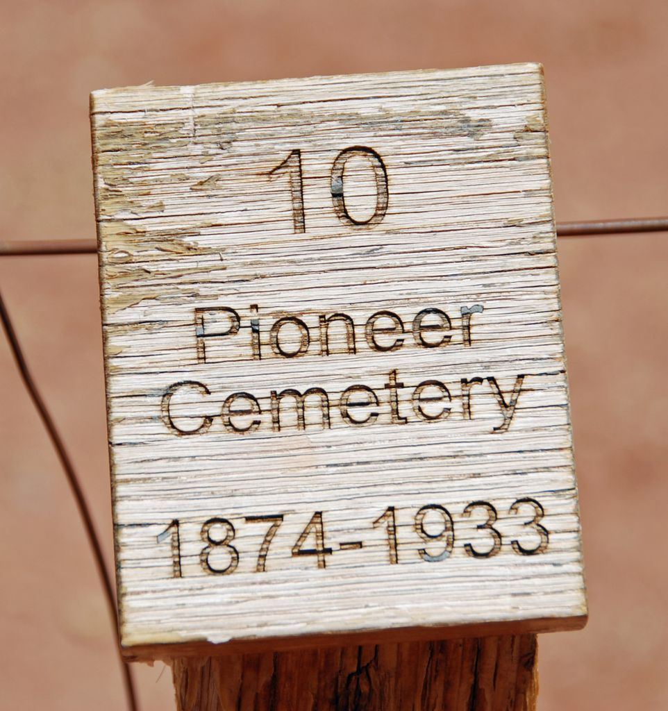
| Memorials | : | 1 |
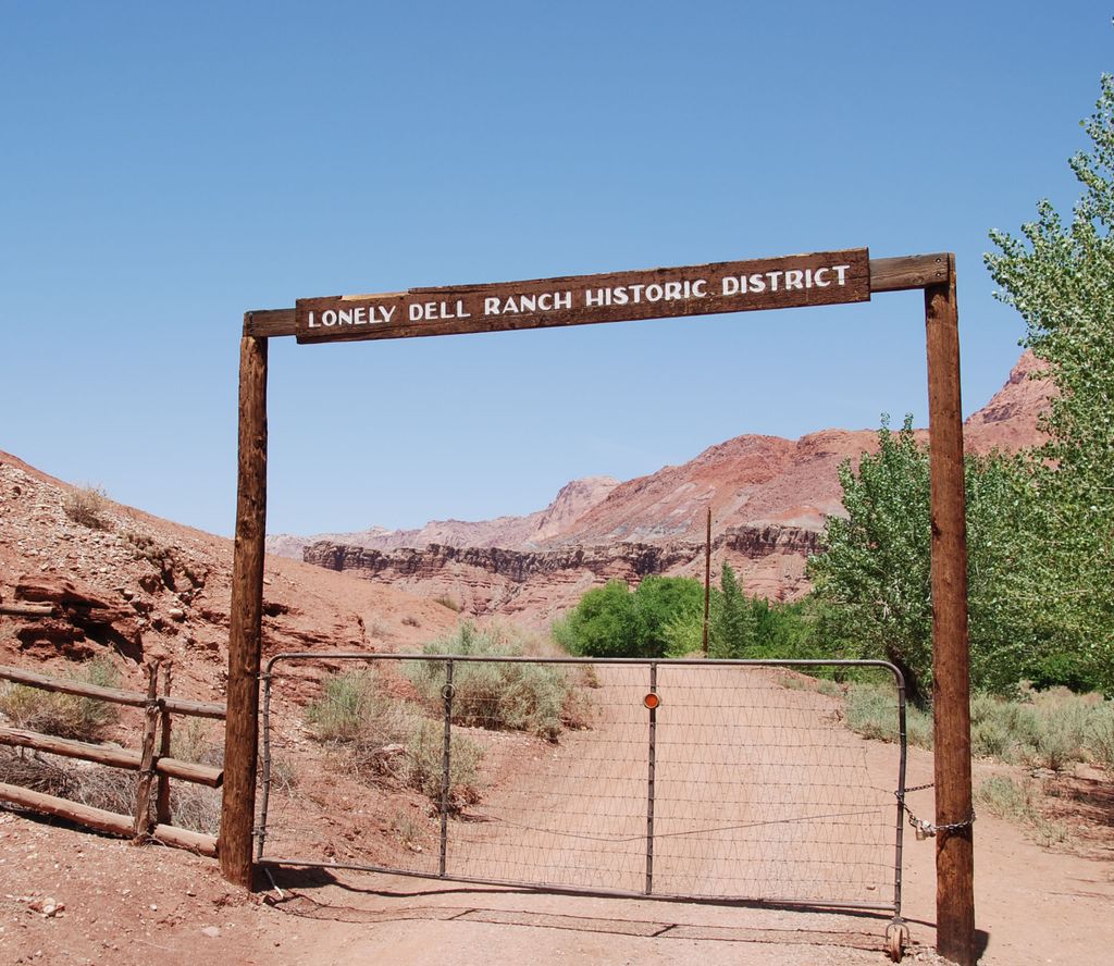
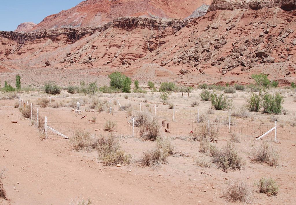
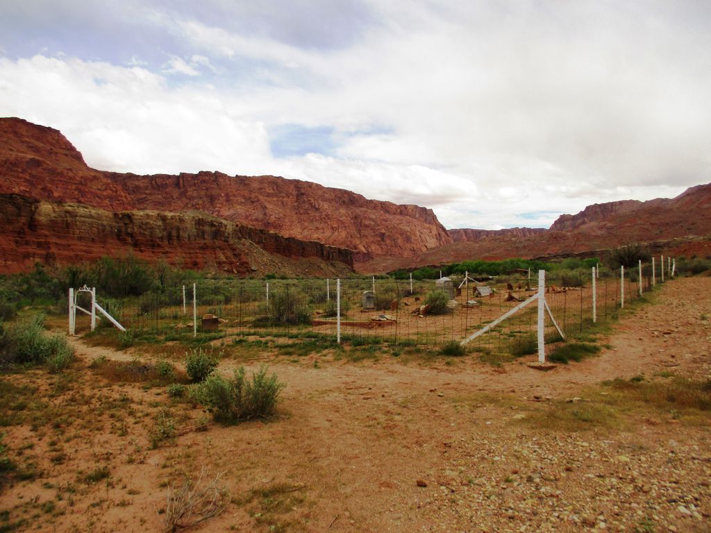
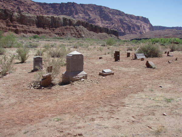
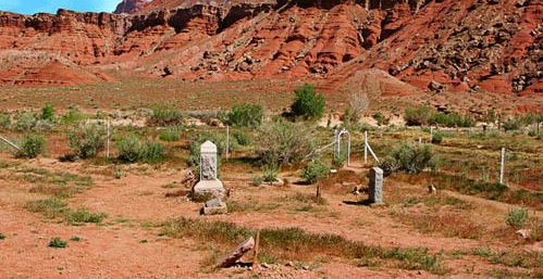
| Location | : | Lee's Ferry, Coconino County, USA |
| Coordinate | : | 36.8691597, -111.5949249 |
| Description | : | In 1871, John Doyle Lee (for whom Lees Ferry is named) became the first permanent resident of the area. Lee established a ranch on the valley floor within a large meander of the Paria River. When Emma Lee first saw the isolated valley that was to be her home, she cried, "Oh, what a lonely dell," and ever after, the place was known as Lonely Dell. Located at the ranch site is a log cabin believed to have been built by John D. Lee in the early 1870s. The small log building near the cabin was used as a blacksmith... Read More |
frequently asked questions (FAQ):
-
Where is Lonely Dell Cemetery?
Lonely Dell Cemetery is located at Lee's Ferry, Coconino County ,Arizona ,USA.
-
Lonely Dell Cemetery cemetery's updated grave count on graveviews.com?
1 memorials
-
Where are the coordinates of the Lonely Dell Cemetery?
Latitude: 36.8691597
Longitude: -111.5949249

Nearby Cemetories:
1. Page Cemetery
Page, Coconino County, USA
Coordinate: 36.9064050, -111.4690610
2. Adairville Cemetery
Paria, Kane County, USA
Coordinate: 37.1181830, -111.9176240
3. Parker Place Cemetery
House Rock Valley, Coconino County, USA
Coordinate: 36.7041424, -112.0003816
4. Honeymoon Trail Gravesites
House Rock Valley, Coconino County, USA
Coordinate: 36.7983100, -112.0592300
5. House Rock Cemetery
House Rock Valley, Coconino County, USA
Coordinate: 36.7325710, -112.0477316
6. Pahreah Cemetery
Kane County, USA
Coordinate: 37.2430770, -111.9576720
7. Johnson Cemetery
Johnson, Kane County, USA
Coordinate: 37.0864363, -112.3751514
8. Crystal Cove Cemetery
Johnson, Kane County, USA
Coordinate: 37.1790241, -112.3840522
9. Navajo Mountain Cemetery
San Juan County, USA
Coordinate: 37.0739175, -110.7426710
10. Elijah Averett Gravesite
Paria, Kane County, USA
Coordinate: 37.4891380, -112.0818930
11. Fredonia Cemetery
Fredonia, Coconino County, USA
Coordinate: 36.9456132, -112.5151787
12. Tonalea Community Cemetery
Coconino County, USA
Coordinate: 36.3275210, -110.9573010
13. Kanab City Cemetery
Kanab, Kane County, USA
Coordinate: 37.0442009, -112.5177994
14. Georgetown Cemetery
Cannonville, Garfield County, USA
Coordinate: 37.5360985, -112.0543976
15. Kanab Pioneer Park Cemetery
Kanab, Kane County, USA
Coordinate: 37.0550452, -112.5251345
16. Henrieville Cemetery
Henrieville, Garfield County, USA
Coordinate: 37.5653000, -112.0033035
17. Tuba City Community Cemetery
Tuba City, Coconino County, USA
Coordinate: 36.1343910, -111.2512490
18. Tube City Original Cemetery
Tuba City, Coconino County, USA
Coordinate: 36.1348800, -111.2486600
19. Navajo Nation Cemetery
Red Lake, Coconino County, USA
Coordinate: 36.3252880, -110.8586850
20. Cannonville Cemetery
Cannonville, Garfield County, USA
Coordinate: 37.5806007, -112.0658035
21. Angels Rest Pet Cemetery
Kanab, Kane County, USA
Coordinate: 37.1489700, -112.5405900
22. Shonto Cemetery
Shonto, Navajo County, USA
Coordinate: 36.5986250, -110.6474120
23. Old LDS Tuba City Church Cemetery
Moenkopi, Coconino County, USA
Coordinate: 36.1138740, -111.2262560
24. Loseeville Cemetery
Loseeville, Garfield County, USA
Coordinate: 37.6253000, -112.0466300